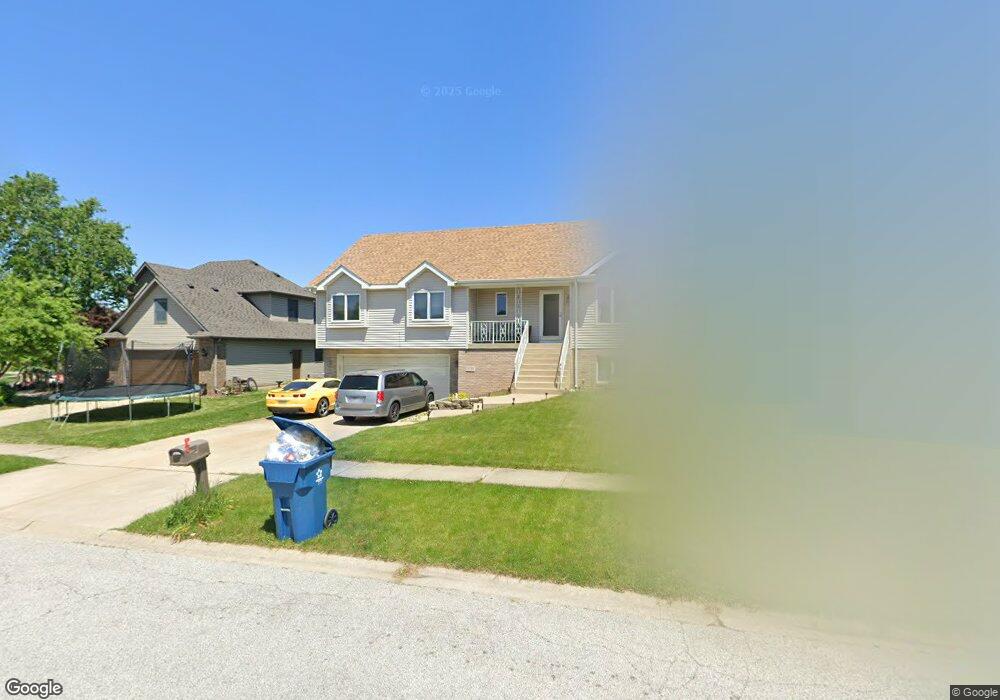
1534 Krame Dr Crown Point, IN 46307
Estimated Value: $408,275 - $455,000
3
Beds
3
Baths
2,552
Sq Ft
$170/Sq Ft
Est. Value
About This Home
This home is located at 1534 Krame Dr, Crown Point, IN 46307 and is currently estimated at $433,819, approximately $169 per square foot. 1534 Krame Dr is a home located in Lake County with nearby schools including Peifer Elementary School, Hal E Clark Middle School, and Lake Central High School.
Ownership History
Date
Name
Owned For
Owner Type
Purchase Details
Closed on
Mar 16, 2009
Sold by
Jpmc Specialty Mortgage Llc
Bought by
Kepshire Ruby
Current Estimated Value
Home Financials for this Owner
Home Financials are based on the most recent Mortgage that was taken out on this home.
Original Mortgage
$196,377
Interest Rate
5.05%
Mortgage Type
FHA
Purchase Details
Closed on
Sep 5, 2008
Sold by
Parker Joel E and Parker Barbara M
Bought by
Wm Specialty Mortgage Llc
Create a Home Valuation Report for This Property
The Home Valuation Report is an in-depth analysis detailing your home's value as well as a comparison with similar homes in the area
Home Values in the Area
Average Home Value in this Area
Purchase History
| Date | Buyer | Sale Price | Title Company |
|---|---|---|---|
| Kepshire Ruby | -- | Meridian Title Corp | |
| Wm Specialty Mortgage Llc | $170,460 | None Available |
Source: Public Records
Mortgage History
| Date | Status | Borrower | Loan Amount |
|---|---|---|---|
| Previous Owner | Kepshire Ruby | $196,377 |
Source: Public Records
Tax History
| Year | Tax Paid | Tax Assessment Tax Assessment Total Assessment is a certain percentage of the fair market value that is determined by local assessors to be the total taxable value of land and additions on the property. | Land | Improvement |
|---|---|---|---|---|
| 2025 | $3,349 | $422,000 | $52,100 | $369,900 |
| 2024 | $7,337 | $407,800 | $52,100 | $355,700 |
| 2023 | $2,554 | $360,300 | $52,100 | $308,200 |
| 2022 | $2,554 | $261,400 | $52,100 | $209,300 |
| 2021 | $2,403 | $251,500 | $52,100 | $199,400 |
| 2020 | $2,288 | $236,700 | $41,000 | $195,700 |
| 2019 | $2,483 | $233,700 | $38,200 | $195,500 |
| 2018 | $2,321 | $220,800 | $38,200 | $182,600 |
| 2017 | $2,071 | $210,800 | $38,200 | $172,600 |
| 2016 | $1,974 | $201,400 | $38,200 | $163,200 |
| 2014 | $2,000 | $211,100 | $38,200 | $172,900 |
| 2013 | $2,043 | $210,000 | $38,200 | $171,800 |
Source: Public Records
Map
Nearby Homes
- 2914 Morningside Dr
- 2952 Freedom Cir
- 8323 Fairbanks St Unit 3E
- 6076 Wexford Way
- 5980 Wexford Way
- 2756 Autumn Dr
- 6440 W 89th Ave
- 7139 W 83rd Place
- 1795 Wedgewood Ct
- 5536 Cedar Point Dr Unit A16
- 8777 Burr Ridge Cir
- 7552 W 82nd Ct
- 5547 Victoria Place
- 8676 Fulton Place
- 1444 Woodview Dr Unit 7
- 8690 Durbin Ln
- 10920 Missouri Place
- 10406 Whitney Place
- 10444 Whitney Place
- 10474 Whitney Place
Your Personal Tour Guide
Ask me questions while you tour the home.