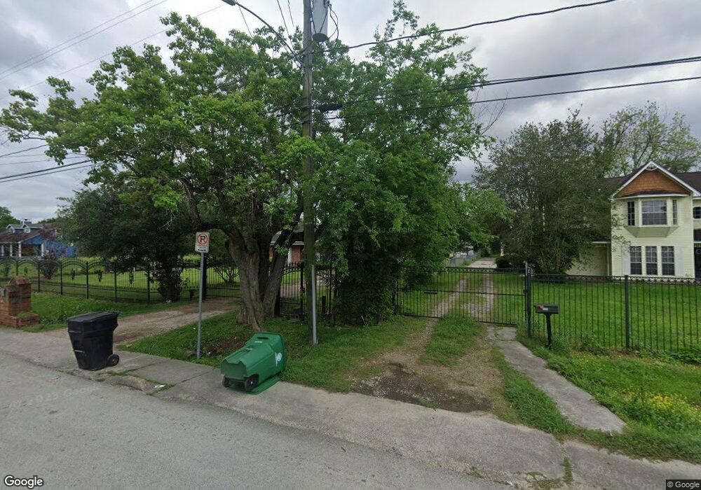
1534 Skinner Rd Houston, TX 77093
Eastex-Jensen NeighborhoodEstimated Value: $340,000 - $632,658
3
Beds
2
Baths
3,430
Sq Ft
$147/Sq Ft
Est. Value
About This Home
This home is located at 1534 Skinner Rd, Houston, TX 77093 and is currently estimated at $505,665, approximately $147 per square foot. 1534 Skinner Rd is a home located in Harris County with nearby schools including Coop Elementary School, Patrick Henry Middle School, and Sam Houston Math, Science & Technology Center.
Ownership History
Date
Name
Owned For
Owner Type
Purchase Details
Closed on
Jul 12, 2001
Sold by
Perry Johnie Mae
Bought by
Conejo Francisco and Conejo Sandra T
Current Estimated Value
Home Financials for this Owner
Home Financials are based on the most recent Mortgage that was taken out on this home.
Original Mortgage
$95,050
Outstanding Balance
$36,736
Interest Rate
7.18%
Estimated Equity
$468,929
Create a Home Valuation Report for This Property
The Home Valuation Report is an in-depth analysis detailing your home's value as well as a comparison with similar homes in the area
Home Values in the Area
Average Home Value in this Area
Purchase History
| Date | Buyer | Sale Price | Title Company |
|---|---|---|---|
| Conejo Francisco | -- | Texas American Title Company |
Source: Public Records
Mortgage History
| Date | Status | Borrower | Loan Amount |
|---|---|---|---|
| Open | Conejo Francisco | $95,050 |
Source: Public Records
Tax History Compared to Growth
Tax History
| Year | Tax Paid | Tax Assessment Tax Assessment Total Assessment is a certain percentage of the fair market value that is determined by local assessors to be the total taxable value of land and additions on the property. | Land | Improvement |
|---|---|---|---|---|
| 2025 | $5,923 | $546,967 | $274,700 | $272,267 |
| 2024 | $5,923 | $660,652 | $257,280 | $403,372 |
| 2023 | $5,923 | $548,879 | $201,000 | $347,879 |
| 2022 | $7,371 | $447,680 | $167,500 | $280,180 |
| 2021 | $7,092 | $365,058 | $120,600 | $244,458 |
| 2020 | $6,699 | $349,958 | $120,600 | $229,358 |
| 2019 | $6,364 | $349,958 | $120,600 | $229,358 |
| 2018 | $4,350 | $240,162 | $92,460 | $147,702 |
| 2017 | $5,256 | $240,162 | $92,460 | $147,702 |
| 2016 | $4,778 | $240,162 | $92,460 | $147,702 |
| 2015 | $3,049 | $242,768 | $66,138 | $176,630 |
| 2014 | $3,049 | $242,768 | $66,138 | $176,630 |
Source: Public Records
Map
Nearby Homes
- 1829 Skinner Rd
- 1002 Grenfell Ln
- 10514 Exeter St
- 10512 Exeter St
- 10022 E Hardy Rd
- 1908 Little York Rd
- 9910 E Hardy Rd
- 11514 Courtshire Rd
- 11314 Courtshire Rd
- 1802 Kowis St
- 11026 Catamore St
- 513 Mayford St
- 11018 Catamore St
- 606 Cresline St
- 2122 Kowis St
- 1930 Cromwell St
- 2315 Langley Rd
- 401 Cresline St
- 11334 Carla St
- 2332 Margaret St
- 1530 Skinner Rd
- 1602 Skinner Rd
- 1606 Skinner Rd
- 1533 Skinner Rd
- 1527 Skinner Rd
- 1523 Skinner Rd
- 1521 Skinner Rd
- 1518 Skinner Rd
- 1519 Skinner Rd
- 1610 Skinner Rd
- 1515 Skinner Rd
- 1420 Skinner Rd
- 1423 Skinner Rd
- 1612 Skinner Rd
- 10536 E Hardy Rd
- 1421 Skinner Rd
- 1416 Skinner Rd
- 10554 E Hardy Rd
- 1419 Skinner Rd
- 1616 Skinner Rd
