Estimated Value: $167,000
--
Bed
--
Bath
--
Sq Ft
0.5
Acres
About This Home
This home is located at 1534 Union Rd, Xenia, OH 45385 and is currently estimated at $167,000. 1534 Union Rd is a home located in Greene County with nearby schools including Xenia High School.
Ownership History
Date
Name
Owned For
Owner Type
Purchase Details
Closed on
Aug 4, 2025
Sold by
Baker Bernard C and Baker Hazel M
Bought by
Bernard And Hazel Baker Irrevocable Trust and Back
Current Estimated Value
Purchase Details
Closed on
Feb 28, 2002
Sold by
Burgess Martha E and Dean Martha E
Bought by
Baker Bernard C and Baker Hazel M
Home Financials for this Owner
Home Financials are based on the most recent Mortgage that was taken out on this home.
Original Mortgage
$97,400
Interest Rate
7.03%
Purchase Details
Closed on
May 28, 1999
Sold by
Deaton James W and Deaton Elaine V
Bought by
Dean Carl W and Dean Martha E
Home Financials for this Owner
Home Financials are based on the most recent Mortgage that was taken out on this home.
Original Mortgage
$207,000
Interest Rate
6.99%
Create a Home Valuation Report for This Property
The Home Valuation Report is an in-depth analysis detailing your home's value as well as a comparison with similar homes in the area
Home Values in the Area
Average Home Value in this Area
Purchase History
| Date | Buyer | Sale Price | Title Company |
|---|---|---|---|
| Bernard And Hazel Baker Irrevocable Trust | -- | None Listed On Document | |
| Baker Bernard C | $254,500 | Home Site Title Agency Inc | |
| Dean Carl W | $230,000 | -- |
Source: Public Records
Mortgage History
| Date | Status | Borrower | Loan Amount |
|---|---|---|---|
| Previous Owner | Baker Bernard C | $97,400 | |
| Previous Owner | Dean Carl W | $207,000 |
Source: Public Records
Tax History Compared to Growth
Tax History
| Year | Tax Paid | Tax Assessment Tax Assessment Total Assessment is a certain percentage of the fair market value that is determined by local assessors to be the total taxable value of land and additions on the property. | Land | Improvement |
|---|---|---|---|---|
| 2024 | $78 | $1,610 | $1,610 | $0 |
| 2023 | $78 | $1,610 | $1,610 | $0 |
| 2022 | $75 | $1,400 | $1,400 | $0 |
| 2021 | $76 | $1,400 | $1,400 | $0 |
| 2020 | $73 | $1,400 | $1,400 | $0 |
| 2019 | $67 | $1,210 | $1,210 | $0 |
| 2018 | $68 | $1,210 | $1,210 | $0 |
| 2017 | $68 | $1,210 | $1,210 | $0 |
| 2016 | $69 | $1,210 | $1,210 | $0 |
| 2015 | $69 | $1,210 | $1,210 | $0 |
| 2014 | $66 | $1,210 | $1,210 | $0 |
Source: Public Records
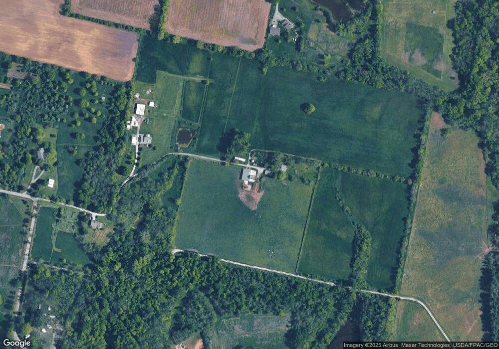
Map
Nearby Homes
- 1736 Winchester Rd
- 966 U S 68
- 0 U S 68
- 733 State Route 380
- 104 Ledbetter Rd
- 260 Pocahontas St
- 979 Mcdowell St
- 55 Lake St
- 46 Lake St
- 920 Wright Cycle Blvd
- 926 Wright Cycle Blvd
- 2102 High Wheel Dr
- 847 S Detroit St
- 523 Newport Rd
- 0 Gultice Rd Unit 940427
- 1444 Triple Crown Way
- 633 Xenia Ave
- 222 Washington St
- 293 S Miami Ave
- 400 S Detroit St
- 1520 Union Rd
- 643 Bell Rd
- 1528 Union Rd
- 1532 Union Rd
- 1530 Union Rd
- 1496 Union Rd
- 1594 Union Rd
- 1560 Union Rd
- 1640 Union Rd
- 1426 Union Rd
- 0 Stone Rd Unit 2736783
- 0 Stone Rd Unit 2623432
- 0 Stone Rd Unit 2623427
- 0 Stone Rd Unit 2623424
- 0 Stone Rd Unit 2607431
- 0 Stone Rd Unit 622067
- 0 Stone Rd Unit 838084
- 555 Bell Rd
- 1628 Union Rd
- 1565 Union Rd