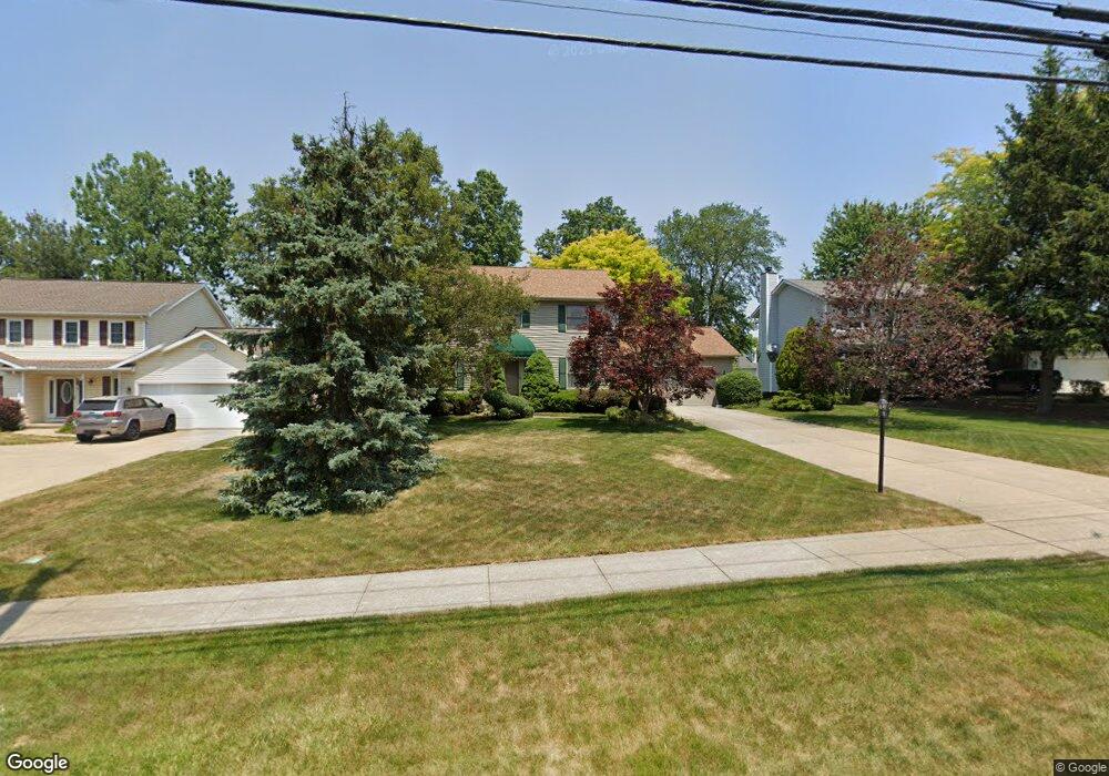
15342 Whitney Rd Strongsville, OH 44136
Estimated Value: $335,000 - $386,000
4
Beds
3
Baths
2,160
Sq Ft
$169/Sq Ft
Est. Value
About This Home
This home is located at 15342 Whitney Rd, Strongsville, OH 44136 and is currently estimated at $365,444, approximately $169 per square foot. 15342 Whitney Rd is a home located in Cuyahoga County with nearby schools including Strongsville High School, Bethel Christian Academy, and Sts Joseph & John Interparochial School.
Ownership History
Date
Name
Owned For
Owner Type
Purchase Details
Closed on
May 5, 2025
Sold by
Dobrovic Thomas G
Bought by
Dobrovic Irrevocable Heritage Trust and Smith
Current Estimated Value
Purchase Details
Closed on
Dec 5, 1989
Sold by
Lusardo David A
Bought by
Dobrovic Thomas
Purchase Details
Closed on
Sep 26, 1988
Bought by
Lusardo David A
Purchase Details
Closed on
Jan 1, 1988
Bought by
New Concord Homes
Create a Home Valuation Report for This Property
The Home Valuation Report is an in-depth analysis detailing your home's value as well as a comparison with similar homes in the area
Home Values in the Area
Average Home Value in this Area
Purchase History
| Date | Buyer | Sale Price | Title Company |
|---|---|---|---|
| Dobrovic Irrevocable Heritage Trust | -- | None Listed On Document | |
| Dobrovic Thomas | $133,500 | -- | |
| Lusardo David A | $27,500 | -- | |
| New Concord Homes | -- | -- |
Source: Public Records
Tax History Compared to Growth
Tax History
| Year | Tax Paid | Tax Assessment Tax Assessment Total Assessment is a certain percentage of the fair market value that is determined by local assessors to be the total taxable value of land and additions on the property. | Land | Improvement |
|---|---|---|---|---|
| 2024 | $5,415 | $115,325 | $17,185 | $98,140 |
| 2023 | $5,374 | $85,830 | $19,010 | $66,820 |
| 2022 | $5,335 | $85,820 | $19,010 | $66,820 |
| 2021 | $5,293 | $85,820 | $19,010 | $66,820 |
| 2020 | $5,158 | $73,990 | $16,380 | $57,610 |
| 2019 | $5,006 | $211,400 | $46,800 | $164,600 |
| 2018 | $4,378 | $73,990 | $16,380 | $57,610 |
| 2017 | $4,291 | $64,690 | $14,600 | $50,090 |
| 2016 | $4,257 | $64,690 | $14,600 | $50,090 |
| 2015 | $4,191 | $64,690 | $14,600 | $50,090 |
| 2014 | $4,191 | $62,800 | $14,180 | $48,620 |
Source: Public Records
Map
Nearby Homes
- 9129 Tahoe Cir
- 9890 Webster Rd
- 10010 Chevy Chase
- 9531 Nicole Cir
- 9945 Twelve Oaks Cir
- 10369 Council Bluff
- 0 Webster Rd
- Buchanan Plan at The Enclave at Pine Lakes Crossing
- Belleville Plan at The Enclave at Pine Lakes Crossing
- 14015 Byron Blvd
- 15485 Albion Rd
- 13976 W Sprague Rd
- 7685 Saratoga Rd
- 14069 Basswood Cir
- 16519 Albion Rd
- 8761 Windfall Ct
- 7664 Gerald Dr
- 18203 Broxton Dr
- 14584 Baywood Ln
- 14557 Baywood Ln
- 15376 Whitney Rd
- 15308 Whitney Rd
- 15410 Whitney Rd
- 15309 Dewitt Dr
- 15337 Dewitt Dr
- 15281 Dewitt Dr
- 15365 Dewitt Dr
- 15357 Whitney Rd
- 15444 Whitney Rd
- 15240 Whitney Rd
- 15401 Whitney Rd
- 15317 Whitney Rd
- 15261 Dewitt Dr
- 15478 Whitney Rd
- 15393 Dewitt Dr
- 15273 Whitney Rd
- 9058 Eldorado Trail
- 15206 Whitney Rd
- 9070 Eldorado Trail
- 9070 Eldorado Trail Unit 11