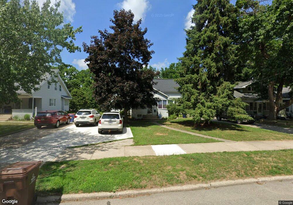
1535 4th St NW Grand Rapids, MI 49504
Westside Connection NeighborhoodEstimated Value: $296,000 - $319,000
3
Beds
1
Bath
1,300
Sq Ft
$234/Sq Ft
Est. Value
About This Home
This home is located at 1535 4th St NW, Grand Rapids, MI 49504 and is currently estimated at $304,728, approximately $234 per square foot. 1535 4th St NW is a home located in Kent County with nearby schools including Harrison Elementary School, Westwood Middle School, and Union High School.
Ownership History
Date
Name
Owned For
Owner Type
Purchase Details
Closed on
Jun 30, 2004
Sold by
Shustha Dwayne Adam and Shustha Pamela Kaye
Bought by
Barbo Darren and Barbo Kari
Current Estimated Value
Home Financials for this Owner
Home Financials are based on the most recent Mortgage that was taken out on this home.
Original Mortgage
$91,900
Outstanding Balance
$44,492
Interest Rate
5.75%
Mortgage Type
Purchase Money Mortgage
Estimated Equity
$260,236
Purchase Details
Closed on
Apr 30, 1985
Create a Home Valuation Report for This Property
The Home Valuation Report is an in-depth analysis detailing your home's value as well as a comparison with similar homes in the area
Home Values in the Area
Average Home Value in this Area
Purchase History
| Date | Buyer | Sale Price | Title Company |
|---|---|---|---|
| Barbo Darren | $114,900 | -- | |
| -- | $18,000 | -- |
Source: Public Records
Mortgage History
| Date | Status | Borrower | Loan Amount |
|---|---|---|---|
| Open | Barbo Darren | $91,900 |
Source: Public Records
Tax History Compared to Growth
Tax History
| Year | Tax Paid | Tax Assessment Tax Assessment Total Assessment is a certain percentage of the fair market value that is determined by local assessors to be the total taxable value of land and additions on the property. | Land | Improvement |
|---|---|---|---|---|
| 2025 | $1,675 | $128,000 | $0 | $0 |
| 2024 | $1,675 | $117,300 | $0 | $0 |
| 2023 | $1,699 | $94,100 | $0 | $0 |
| 2022 | $1,613 | $82,600 | $0 | $0 |
| 2021 | $1,577 | $77,500 | $0 | $0 |
| 2020 | $1,508 | $75,600 | $0 | $0 |
| 2019 | $1,579 | $69,300 | $0 | $0 |
| 2018 | $1,525 | $63,300 | $0 | $0 |
| 2017 | $1,485 | $55,600 | $0 | $0 |
| 2016 | $1,503 | $51,500 | $0 | $0 |
| 2015 | $1,398 | $51,500 | $0 | $0 |
| 2013 | -- | $41,100 | $0 | $0 |
Source: Public Records
Map
Nearby Homes
- 1602 4th St NW
- 1610 6th St NW
- 1409 8th St NW Unit 26
- 859 Bristol Ave NW
- 931 Frederick Ave NW
- 819 Van Buren Ave NW
- 952 Frederick Ave NW
- 1908 4th St NW
- 1462 Walker Ave NW
- 545 Garfield Ave NW
- 1169 3rd St NW
- 564 Garfield Ave NW
- 560 Garfield Ave NW
- 1071 Bristol Ave NW
- 609 Lincoln Ave NW
- 307 Scott Ave NW
- 736 Shawmut Blvd NW
- 1001 Lincoln Ave NW
- 964 Lincoln Ave NW
- 1153 Bridge St NW
- 1529 4th St NW
- 1541 4th St NW
- 1545 4th St NW
- 1525 4th St NW
- 1519 4th St NW
- 1551 4th St NW
- 1532 4th St NW
- 718 Bristol Ave NW
- 1516 4th St NW
- 1561 4th St NW
- 720 Bristol Ave NW
- 1505 4th St NW
- 1542 4th St NW
- 1536 4th St NW
- 715 Maridell Ave NW
- 730 Bristol Ave NW
- 723 Maridell Ave NW
- 1508 4th St NW
- 1544 4th St NW
- 45031 Antosh Cir