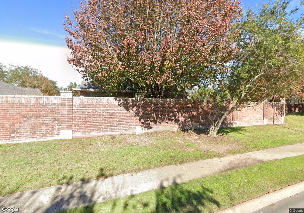
1535 Adams Walk Ct Houston, TX 77077
Energy Corridor NeighborhoodEstimated Value: $422,674 - $531,000
2
Beds
2
Baths
2,058
Sq Ft
$236/Sq Ft
Est. Value
About This Home
This home is located at 1535 Adams Walk Ct, Houston, TX 77077 and is currently estimated at $484,669, approximately $235 per square foot. 1535 Adams Walk Ct is a home located in Harris County with nearby schools including Bush Elementary School, West Briar Middle School, and Westside High School.
Ownership History
Date
Name
Owned For
Owner Type
Purchase Details
Closed on
Nov 1, 2012
Sold by
Wheisell Lind
Bought by
Brion Robert
Current Estimated Value
Purchase Details
Closed on
Nov 15, 2007
Sold by
Frederick Clifford S and Frederick Barbara L
Bought by
Whetsell Linda
Purchase Details
Closed on
Mar 19, 1998
Sold by
Sueba Investments #22 Ltd
Bought by
Houston Village Builders Inc
Create a Home Valuation Report for This Property
The Home Valuation Report is an in-depth analysis detailing your home's value as well as a comparison with similar homes in the area
Home Values in the Area
Average Home Value in this Area
Purchase History
| Date | Buyer | Sale Price | Title Company |
|---|---|---|---|
| Brion Robert | -- | None Available | |
| Whetsell Linda | -- | Startex Title Company | |
| Houston Village Builders Inc | -- | Regency Title |
Source: Public Records
Tax History Compared to Growth
Tax History
| Year | Tax Paid | Tax Assessment Tax Assessment Total Assessment is a certain percentage of the fair market value that is determined by local assessors to be the total taxable value of land and additions on the property. | Land | Improvement |
|---|---|---|---|---|
| 2025 | $1,734 | $481,964 | $236,883 | $245,081 |
| 2024 | $1,734 | $411,280 | $137,143 | $274,137 |
| 2023 | $1,734 | $463,235 | $137,143 | $326,092 |
| 2022 | $9,144 | $393,424 | $137,143 | $256,281 |
| 2021 | $8,798 | $377,509 | $137,143 | $240,366 |
| 2020 | $8,402 | $346,963 | $137,143 | $209,820 |
| 2019 | $8,662 | $342,330 | $137,143 | $205,187 |
| 2018 | $4,555 | $373,496 | $137,143 | $236,353 |
| 2017 | $9,701 | $383,654 | $137,143 | $246,511 |
| 2016 | $10,191 | $403,041 | $137,143 | $265,898 |
| 2015 | $5,148 | $434,000 | $137,143 | $296,857 |
| 2014 | $5,148 | $412,300 | $93,506 | $318,794 |
Source: Public Records
Map
Nearby Homes
- 1523 Orchard Park Dr
- 1622 Cottage Landing Ln
- 1523 Ashbury Park Ln
- 14107 Glasgow Place
- 13322 Olive Trail
- 1514 Olive Park
- 14215 Scarborough Fair St
- 1327 Mission Chase Dr
- 1502 Olive Place
- 13818 Senca Park Dr
- 13727 Aspen Cove Dr
- 14126 Highcroft Dr
- 14115 Withersdale Dr
- 13826 Aspen Cove Dr
- 1450 Forest Home Dr
- 13627 Ashley Run
- 13719 Neils Branch Dr
- 14206 Withersdale Dr
- 13907 Charlton Way Dr
- 14210 Flower Creek Ln
- 1531 Adams Walk Ct
- 1539 Adams Walk Ct
- 1538 Kennebeck Place
- 1527 Adams Walk Ct
- 1534 Kennebeck Place
- 1542 Kennebeck Place
- 1543 Adams Walk Ct
- 1530 Kennebeck Place
- 1523 Adams Walk Ct
- 1534 Adams Walk Ct
- 1530 Adams Walk Ct
- 1542 Adams Walk Ct
- 1546 Kennebeck Place
- 1538 Adams Walk Ct
- 1526 Kennebeck Place
- 1526 Adams Walk Ct
- 1519 Adams Walk Ct
- 1522 Adams Walk Ct
- 1522 Kennebeck Place
- 1547 Kennebeck Place
