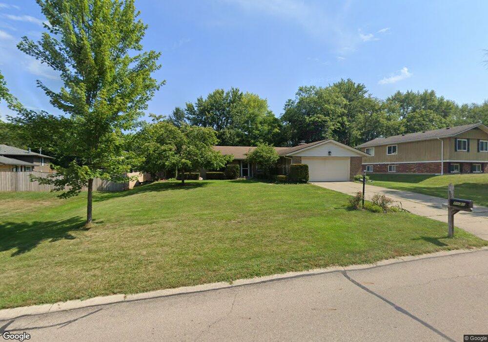
1535 Ambridge Rd Dayton, OH 45459
Estimated Value: $344,875 - $382,000
3
Beds
2
Baths
2,009
Sq Ft
$178/Sq Ft
Est. Value
About This Home
This home is located at 1535 Ambridge Rd, Dayton, OH 45459 and is currently estimated at $358,469, approximately $178 per square foot. 1535 Ambridge Rd is a home located in Montgomery County with nearby schools including Primary Village North, Stingley Elementary School, and Tower Heights Middle School.
Ownership History
Date
Name
Owned For
Owner Type
Purchase Details
Closed on
Jan 30, 2010
Sold by
James Michael J and James Suzanne
Bought by
James Michael J and James Suzanne
Current Estimated Value
Purchase Details
Closed on
Aug 1, 2000
Sold by
Hennig William R and Hennig Theresa L
Bought by
James Michael J and James Suzanne
Home Financials for this Owner
Home Financials are based on the most recent Mortgage that was taken out on this home.
Original Mortgage
$121,500
Interest Rate
7.96%
Purchase Details
Closed on
Mar 15, 1997
Sold by
Kerr John C and Kerr Cindy S
Bought by
Hennig Ii William R and Hennig Theresa L
Purchase Details
Closed on
May 21, 1994
Sold by
Crooke Thomas L and Sims Crooke Suzanne
Bought by
Kerr John C and Kerr Cindy S
Create a Home Valuation Report for This Property
The Home Valuation Report is an in-depth analysis detailing your home's value as well as a comparison with similar homes in the area
Home Values in the Area
Average Home Value in this Area
Purchase History
| Date | Buyer | Sale Price | Title Company |
|---|---|---|---|
| James Michael J | -- | Attorney | |
| James Michael J | $135,000 | Midland Title Security Inc | |
| Hennig Ii William R | $130,500 | Midland Title Security Inc | |
| Kerr John C | -- | Landmark Title |
Source: Public Records
Mortgage History
| Date | Status | Borrower | Loan Amount |
|---|---|---|---|
| Previous Owner | James Michael J | $121,500 |
Source: Public Records
Tax History Compared to Growth
Tax History
| Year | Tax Paid | Tax Assessment Tax Assessment Total Assessment is a certain percentage of the fair market value that is determined by local assessors to be the total taxable value of land and additions on the property. | Land | Improvement |
|---|---|---|---|---|
| 2024 | $5,732 | $98,730 | $21,740 | $76,990 |
| 2023 | $5,732 | $98,730 | $21,740 | $76,990 |
| 2022 | $5,235 | $71,500 | $15,750 | $55,750 |
| 2021 | $5,249 | $71,500 | $15,750 | $55,750 |
| 2020 | $5,242 | $71,500 | $15,750 | $55,750 |
| 2019 | $5,156 | $62,770 | $15,750 | $47,020 |
| 2018 | $4,570 | $62,770 | $15,750 | $47,020 |
| 2017 | $4,517 | $62,770 | $15,750 | $47,020 |
| 2016 | $4,396 | $57,640 | $15,750 | $41,890 |
| 2015 | $4,351 | $57,640 | $15,750 | $41,890 |
| 2014 | $4,351 | $57,640 | $15,750 | $41,890 |
| 2012 | -- | $54,290 | $17,500 | $36,790 |
Source: Public Records
Map
Nearby Homes
- 1563 Langdon Dr
- 1620 Ambridge Rd
- 7640 Cloverbrook Park Dr
- 7308 Tamarind Trail
- 7201 Brookmeadow Dr Unit 11A
- 2349 Donamere Cir Unit 5C
- 7395 Cades Cove Unit 174174
- 2540 Early Spring Ct
- 6765 Montpellier Blvd
- 2580 Hingham Ln
- 7124 Fallen Oak Trace Unit 420
- 7215 Whitetail Trail Unit 108108
- 1235 Chevington Ct Unit 1515
- 7129 Fallen Oak Trace Unit 839
- 1501 Lake Pointe Way Unit 8
- 1511 Lake Pointe Way
- 1511 Lake Pointe Way Unit 2
- 7128 Hartcrest Ln Unit 130130
- 7128 Hartcrest Ln Unit 130
- 7111 Fallen Oak Trace Unit 1050
- 1541 Ambridge Rd
- 7680 Rolling Oak Dr
- 1520 Langdon Dr
- 7670 Rolling Oak Dr
- 1547 Ambridge Rd
- 1526 Langdon Dr
- 1550 Ambridge Rd
- 1540 Ambridge Rd
- 1553 Ambridge Rd
- 1530 Ambridge Rd
- 1532 Langdon Dr
- 7695 Rolling Oak Dr
- 7685 Rolling Oak Dr
- 1520 Ambridge Rd
- 7675 Rolling Oak Dr
- 1559 Ambridge Rd
- 1515 Langdon Dr
- 7660 Rolling Oak Dr
- 1538 Langdon Dr
- 7665 Rolling Oak Dr