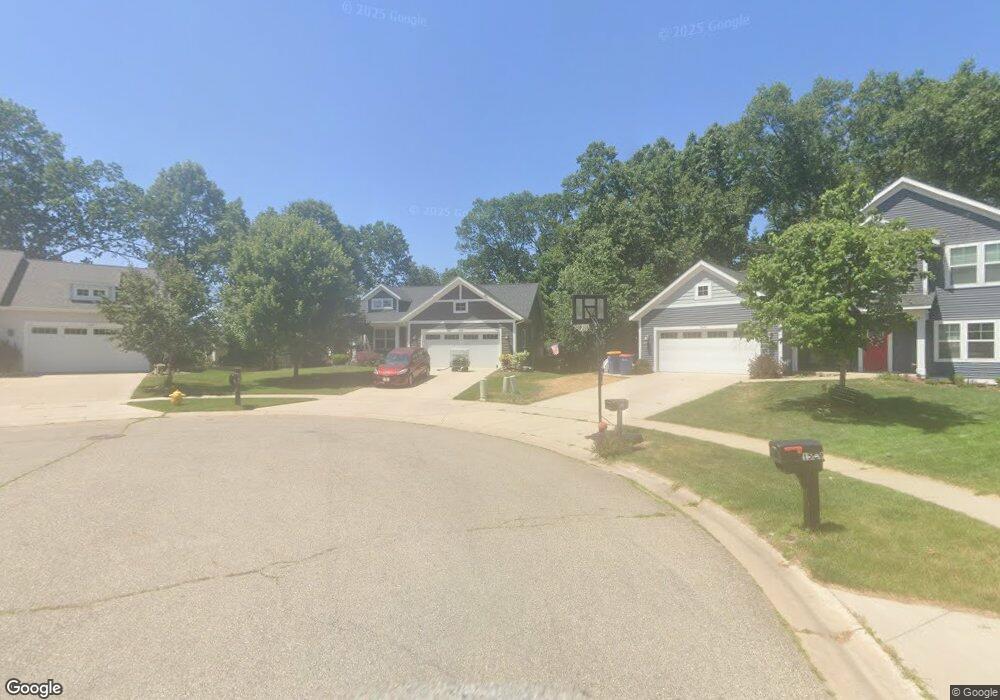
1535 Dryad Ct NE Grand Rapids, MI 49505
Creston NeighborhoodEstimated Value: $466,000 - $622,000
3
Beds
4
Baths
1,519
Sq Ft
$352/Sq Ft
Est. Value
About This Home
This home is located at 1535 Dryad Ct NE, Grand Rapids, MI 49505 and is currently estimated at $534,513, approximately $351 per square foot. 1535 Dryad Ct NE is a home with nearby schools including Riverside Middle School, Union High School, and Lighthouse Academy - Waalkes Campus.
Ownership History
Date
Name
Owned For
Owner Type
Purchase Details
Closed on
Sep 6, 2016
Sold by
Progressive Developers Inc
Bought by
Locasto Gerald and Locasto Leanne
Current Estimated Value
Home Financials for this Owner
Home Financials are based on the most recent Mortgage that was taken out on this home.
Original Mortgage
$255,613
Outstanding Balance
$204,501
Interest Rate
3.48%
Mortgage Type
New Conventional
Estimated Equity
$330,012
Create a Home Valuation Report for This Property
The Home Valuation Report is an in-depth analysis detailing your home's value as well as a comparison with similar homes in the area
Home Values in the Area
Average Home Value in this Area
Purchase History
| Date | Buyer | Sale Price | Title Company |
|---|---|---|---|
| Locasto Gerald | $319,517 | Lighthouse Title Inc |
Source: Public Records
Mortgage History
| Date | Status | Borrower | Loan Amount |
|---|---|---|---|
| Open | Locasto Gerald | $255,613 |
Source: Public Records
Tax History Compared to Growth
Tax History
| Year | Tax Paid | Tax Assessment Tax Assessment Total Assessment is a certain percentage of the fair market value that is determined by local assessors to be the total taxable value of land and additions on the property. | Land | Improvement |
|---|---|---|---|---|
| 2025 | $5,286 | $263,500 | $0 | $0 |
| 2024 | $5,286 | $231,800 | $0 | $0 |
| 2023 | $5,063 | $194,100 | $0 | $0 |
| 2022 | $5,092 | $185,400 | $0 | $0 |
| 2021 | $4,978 | $168,400 | $0 | $0 |
| 2020 | $4,759 | $155,000 | $0 | $0 |
| 2019 | $4,984 | $144,200 | $0 | $0 |
| 2018 | $4,813 | $141,100 | $0 | $0 |
| 2017 | $4,809 | $17,900 | $0 | $0 |
| 2016 | $544 | $17,900 | $0 | $0 |
| 2015 | $519 | $17,900 | $0 | $0 |
| 2013 | -- | $17,900 | $0 | $0 |
Source: Public Records
Map
Nearby Homes
- 1313 Ellsmere St NE
- 1139 Arlington St NE
- 1116 Kelsey St NE
- 1110 Aberdeen St NE
- 1955 3 Mile Rd NE
- 2833 Aldale Dr NE
- 2202 Fuller Ave NE
- 1115 Ecklund St NE
- 1223 Ridgeway St NE
- 2100 Dawson Ave NE
- 929 Ellsmere St NE
- 3030 Plainfield Ave NE
- 1335 Knapp St NE
- 3136 Fuller Ave NE
- 2031 Garret Dr NE
- 2753 Dean Lake Ave NE
- 2020 Dean Lake Ave NE
- 2014 Dean Lake Ave NE
- 2112 Jo Dean Ct NE
- 2165 Remington Way NE Unit 176
- 1547 Dryad Ct NE
- 1538 Dryad Ct NE
- 2566 Lawncrest Dr NE
- 2560 Lawncrest Dr NE
- 1559 Dryad Ct NE
- 1548 Dryad Ct NE
- 2578 Lawncrest Dr NE
- 2554 Lawncrest Dr NE
- 1564 Dryad Ct NE
- 2546 Lawncrest Dr NE
- 2598 Lawncrest Dr NE
- 1571 Dryad Ct NE
- 2625 Stockwood Dr NE
- 2621 Stockwood Dr NE
- 2618 Lawncrest Dr NE
- 2629 Stockwood Dr NE
- 2601 Stockwood Dr NE
- 2540 Lawncrest Dr NE
- 2631 Stockwood Dr NE
- 2591 Stockwood Dr NE