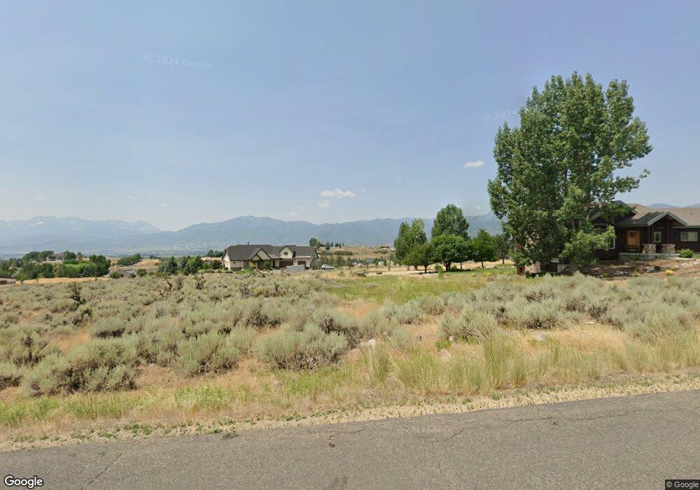
1535 E 1650 N Heber City, UT 84032
Estimated Value: $985,000 - $1,837,992
--
Bed
--
Bath
2,599
Sq Ft
$606/Sq Ft
Est. Value
About This Home
This home is located at 1535 E 1650 N, Heber City, UT 84032 and is currently estimated at $1,573,748, approximately $605 per square foot. 1535 E 1650 N is a home located in Wasatch County with nearby schools including J.R. Smith Elementary School, Rocky Mountain Middle School, and Wasatch High School.
Ownership History
Date
Name
Owned For
Owner Type
Purchase Details
Closed on
Nov 6, 2020
Sold by
Reinhart Harold A and Reinhart Linda D
Bought by
Reinhart Harold A and Reinhart Linda D
Current Estimated Value
Home Financials for this Owner
Home Financials are based on the most recent Mortgage that was taken out on this home.
Original Mortgage
$382,000
Interest Rate
2.8%
Mortgage Type
New Conventional
Purchase Details
Closed on
Apr 3, 2017
Sold by
Reinhart Harold A and Reinhart Linda D
Bought by
Reinhart Harold A and Reinhart Linda D
Purchase Details
Closed on
Jun 28, 2010
Sold by
Reinhart Harold A and Reinhart Linda D
Bought by
Reinhart Harold A and Reinhart Linda D
Home Financials for this Owner
Home Financials are based on the most recent Mortgage that was taken out on this home.
Original Mortgage
$451,500
Interest Rate
4.82%
Mortgage Type
New Conventional
Create a Home Valuation Report for This Property
The Home Valuation Report is an in-depth analysis detailing your home's value as well as a comparison with similar homes in the area
Home Values in the Area
Average Home Value in this Area
Purchase History
| Date | Buyer | Sale Price | Title Company |
|---|---|---|---|
| Reinhart Harold A | -- | Atlas Title Heber City | |
| Reinhart Harold A | -- | Atlas Title Heber City | |
| Reinhart Harold A | -- | None Available | |
| Reinhart Harold A | -- | Select Title Ins Agency |
Source: Public Records
Mortgage History
| Date | Status | Borrower | Loan Amount |
|---|---|---|---|
| Closed | Reinhart Harold A | $382,000 | |
| Closed | Reinhart Harold A | $451,500 |
Source: Public Records
Tax History Compared to Growth
Tax History
| Year | Tax Paid | Tax Assessment Tax Assessment Total Assessment is a certain percentage of the fair market value that is determined by local assessors to be the total taxable value of land and additions on the property. | Land | Improvement |
|---|---|---|---|---|
| 2025 | $7,680 | $1,450,100 | $690,000 | $760,100 |
| 2024 | $7,680 | $1,450,100 | $690,000 | $760,100 |
| 2023 | $7,680 | $1,523,799 | $490,000 | $1,033,799 |
| 2022 | $8,871 | $1,523,799 | $490,000 | $1,033,799 |
| 2021 | $4,956 | $704,713 | $205,000 | $499,713 |
| 2020 | $5,111 | $704,713 | $205,000 | $499,713 |
| 2019 | $4,765 | $423,592 | $0 | $0 |
| 2018 | $4,765 | $423,592 | $0 | $0 |
| 2017 | $4,537 | $403,836 | $0 | $0 |
| 2016 | $4,462 | $389,381 | $0 | $0 |
| 2015 | $4,203 | $389,381 | $0 | $0 |
| 2014 | $4,347 | $389,381 | $0 | $0 |
Source: Public Records
Map
Nearby Homes
- 1385 E 1650 N
- 1964 E Upper Lookout Knoll Ct Unit 371
- 1964 E Upper Lookout Knoll Ct
- 1285 N Oquirrh Mountain Dr
- 1418 N Lower Lookout Knoll Ct
- 1964 N Lookout Peak Cir
- 1964 N Lookout Peak Cir Unit 540
- 1225 N Oquirrh Mountain Dr
- 2083 E Upper Lookout Knoll Ct
- 1097 E Explorer Peak Ct Unit 425
- 1344 N Lower Lookout Knoll Ct
- 2005 N Lookout Peak Cir
- 1908 N Callaway Dr
- 1779 N Callaway Dr Unit 18
- 1467 N Chimney Rock Rd
- 1467 Chimney Rock Rd
- 1771 N Chimney Rock Rd
- 1771 N Chimney Rock Rd Unit 521
- 1760 N Chimney Rock Rd
- 1995 N Callaway Dr
- 1456 E 1800 N
- 1615 E 1950 N
- 1615 E 1950 N Unit 6
- 554 E 1950 N
- 1465 E 1650 N
- 0 E 1650 N
- 1615 E 1650 N
- 0 1550 North 1800 E
- 1543 E 1800 N
- 1610 E 1950 N
- 1606 E 1650 N
- 1460 E 1950 N
- 1540 E 1650 N
- 1540 E 1650 N
- 1685 E 1650 N
- 1685 E 1650 N Unit 23
- 1350 E 1650 N
- 1390 E 1950 N
- 1685 E 1950 N
- 1685 E 1950 N Unit 7