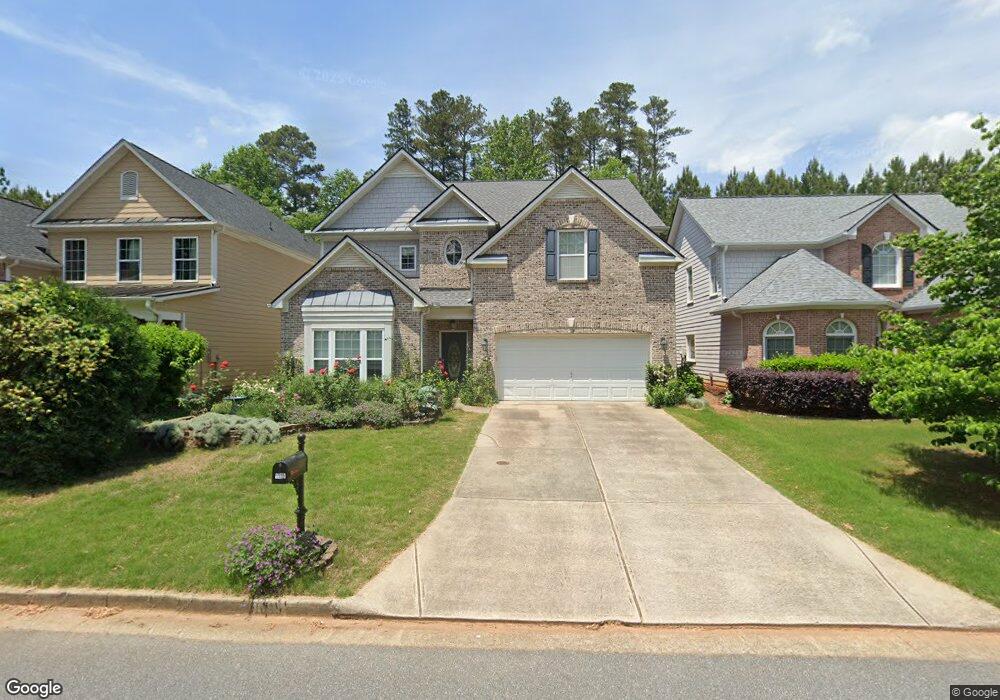
1535 Independence Trail Cumming, GA 30040
Estimated Value: $561,000 - $708,000
4
Beds
3
Baths
3,638
Sq Ft
$173/Sq Ft
Est. Value
About This Home
This home is located at 1535 Independence Trail, Cumming, GA 30040 and is currently estimated at $630,043, approximately $173 per square foot. 1535 Independence Trail is a home located in Forsyth County with nearby schools including George W. Whitlow Elementary School, Otwell Middle School, and Forsyth Central High School.
Ownership History
Date
Name
Owned For
Owner Type
Purchase Details
Closed on
Dec 30, 2004
Sold by
Ryland Group Inc
Bought by
Ash Mark J and Ash Ann
Current Estimated Value
Home Financials for this Owner
Home Financials are based on the most recent Mortgage that was taken out on this home.
Original Mortgage
$297,265
Outstanding Balance
$162,202
Interest Rate
6.99%
Mortgage Type
New Conventional
Estimated Equity
$467,841
Purchase Details
Closed on
Jan 13, 2004
Sold by
Anthem Devel Llc
Bought by
Ryland Group Inc
Create a Home Valuation Report for This Property
The Home Valuation Report is an in-depth analysis detailing your home's value as well as a comparison with similar homes in the area
Home Values in the Area
Average Home Value in this Area
Purchase History
| Date | Buyer | Sale Price | Title Company |
|---|---|---|---|
| Ash Mark J | $297,300 | -- | |
| Ryland Group Inc | $642,700 | -- |
Source: Public Records
Mortgage History
| Date | Status | Borrower | Loan Amount |
|---|---|---|---|
| Open | Ash Mark J | $297,265 |
Source: Public Records
Tax History Compared to Growth
Tax History
| Year | Tax Paid | Tax Assessment Tax Assessment Total Assessment is a certain percentage of the fair market value that is determined by local assessors to be the total taxable value of land and additions on the property. | Land | Improvement |
|---|---|---|---|---|
| 2025 | $5,410 | $210,056 | $66,000 | $144,056 |
| 2024 | $5,410 | $220,624 | $66,000 | $154,624 |
| 2023 | $5,198 | $211,184 | $62,000 | $149,184 |
| 2022 | $4,813 | $140,380 | $34,000 | $106,380 |
| 2021 | $3,876 | $140,380 | $34,000 | $106,380 |
| 2020 | $3,748 | $135,712 | $34,000 | $101,712 |
| 2019 | $3,533 | $127,768 | $28,000 | $99,768 |
| 2018 | $3,389 | $122,544 | $28,000 | $94,544 |
| 2017 | $3,325 | $119,812 | $28,000 | $91,812 |
| 2016 | $3,353 | $120,812 | $29,000 | $91,812 |
| 2015 | $3,587 | $129,012 | $29,000 | $100,012 |
| 2014 | $2,661 | $100,508 | $29,000 | $71,508 |
Source: Public Records
Map
Nearby Homes
- 580 Washington Way
- 700 Washington Way
- 980 Patriot Trail
- 950 Firethorne Pass
- 1030 Firethorne Pass
- 3905 Delfaire Trace Unit I
- 5314 Sherwood Way
- 4914 Sherwood Way
- 3707 Delfaire Trace
- 4706 Piney Grove Rd
- 3625 Maple Valley Dr Unit 4
- 3815 Glen Laurel Ct
- 3723 Verde Glen Ln
- 3806 Verde Glen Ln
- 3450 Maple Valley Dr Unit 4
- 3554 Castleberry Rd
- 3680 Castleberry Rd
- 1545 Independence Trail
- 1525 Independence Trail
- 1555 Independence Trail
- 1515 Independence Trail
- 0 Independence Trail Unit 7481308
- 0 Independence Trail Unit 7314829
- 0 Independence Trail Unit 7208862
- 0 Independence Trail Unit 7188048
- 0 Independence Trail Unit 7064052
- 0 Independence Trail Unit 7035126
- 0 Independence Trail Unit 7021745
- 0 Independence Trail Unit 3237143
- 0 Independence Trail Unit 3133590
- 0 Independence Trail Unit 8608085
- 0 Independence Trail Unit 8454121
- 0 Independence Trail Unit 8309114
- 0 Independence Trail Unit 8264314
- 0 Independence Trail Unit 8207541
- 0 Independence Trail Unit 8182092
- 0 Independence Trail Unit 8137348