1535 N 1350 E Unit 206 Payson, UT 84651
Estimated Value: $578,000 - $689,000
4
Beds
3
Baths
3,463
Sq Ft
$179/Sq Ft
Est. Value
About This Home
This home is located at 1535 N 1350 E Unit 206, Payson, UT 84651 and is currently estimated at $620,396, approximately $179 per square foot. 1535 N 1350 E Unit 206 is a home located in Utah County with nearby schools including Barnett Elementary School, Salem Junior High School, and Valley View Middle School.
Ownership History
Date
Name
Owned For
Owner Type
Purchase Details
Closed on
Feb 6, 2020
Sold by
Kennedy Thane W
Bought by
Kennedy Thane W and Kennedy Chelsea
Current Estimated Value
Home Financials for this Owner
Home Financials are based on the most recent Mortgage that was taken out on this home.
Original Mortgage
$307,920
Outstanding Balance
$271,641
Interest Rate
3.74%
Mortgage Type
New Conventional
Estimated Equity
$348,755
Purchase Details
Closed on
Apr 18, 2019
Sold by
Camberlango Development Group Llc
Bought by
Quail Valley Springville Llc
Home Financials for this Owner
Home Financials are based on the most recent Mortgage that was taken out on this home.
Original Mortgage
$809,920
Interest Rate
4.4%
Mortgage Type
Commercial
Create a Home Valuation Report for This Property
The Home Valuation Report is an in-depth analysis detailing your home's value as well as a comparison with similar homes in the area
Home Values in the Area
Average Home Value in this Area
Purchase History
| Date | Buyer | Sale Price | Title Company |
|---|---|---|---|
| Kennedy Thane W | -- | Provo Land Title Company | |
| Kennedy Thane W | -- | Provo Land Title Co | |
| Quail Valley Springville Llc | -- | Provo Land Title Co | |
| Camberlango Development Group Llc | -- | Utah First Title Ins Agency |
Source: Public Records
Mortgage History
| Date | Status | Borrower | Loan Amount |
|---|---|---|---|
| Open | Kennedy Thane W | $307,920 | |
| Previous Owner | Quail Valley Springville Llc | $809,920 |
Source: Public Records
Tax History
| Year | Tax Paid | Tax Assessment Tax Assessment Total Assessment is a certain percentage of the fair market value that is determined by local assessors to be the total taxable value of land and additions on the property. | Land | Improvement |
|---|---|---|---|---|
| 2025 | $2,984 | $326,480 | -- | -- |
| 2024 | $2,984 | $303,710 | $0 | $0 |
| 2023 | $3,037 | $309,925 | $0 | $0 |
| 2022 | $2,992 | $300,300 | $0 | $0 |
| 2021 | $2,524 | $406,300 | $121,200 | $285,100 |
| 2020 | $2,128 | $335,100 | $110,200 | $224,900 |
Source: Public Records
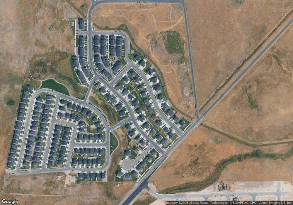
Map
Nearby Homes
- 1350 Arrowhead Trail
- 1607 N 1300 E
- 1641 N 1320 E
- 1649 N 1320 E
- 1333 E 1670 N Unit 816
- 1337 E 1670 N Unit 817
- 1303 E 1670 N
- 1332 1670 N
- 1334 1670 N
- 1334 1670 N Unit 822
- 1302 E 1670 N Unit 908
- 1302 E 1670 N
- 1538 N 1130 E
- 1304 E 1670 N
- 1296 E 1670 N
- 1286 E 1700 N
- 1282 1700 N
- 1338 E 1670 N
- 1338 E 1670 N Unit 820
- 1339 E 1670 N Unit 818
- 1543 N 1350 E
- 1543 N 1350 E Unit 207
- 1538 N 1300 E
- 1523 N Trail Creek Dr E Unit 205
- 1514 N Arrow Park Dr Unit 116
- 1546 N 1300 E Unit 114
- 1555 N 1350 E Unit 208
- 1536 N 1350 E Unit 217
- 1536 N 1350 E Unit 221
- 1502 N Arrow Park Dr Unit 1
- 1502 N 1300 E
- 1548 N 1350 E Unit 216
- 1511 N 1350 E
- 1524 N 1350 E
- 1562 N 1300 E Unit 113
- 1562 N Arrow Park Dr
- 1567 N Trail Creek Dr Unit 209
- 1562 N 1350 E Unit 215
- 1486 N Arrow Park Dr
- 1503 N 1350 E Unit 203
Your Personal Tour Guide
Ask me questions while you tour the home.