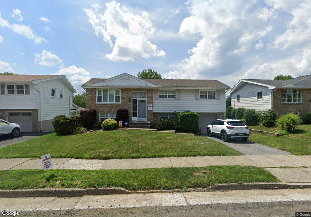
1535 Ralston Rd Bethlehem, PA 18018
West Bethlehem NeighborhoodEstimated Value: $359,827 - $411,000
4
Beds
2
Baths
1,896
Sq Ft
$201/Sq Ft
Est. Value
About This Home
This home is located at 1535 Ralston Rd, Bethlehem, PA 18018 and is currently estimated at $381,707, approximately $201 per square foot. 1535 Ralston Rd is a home located in Lehigh County with nearby schools including James Buchanan Elementary School, Nitschmann Middle School, and Liberty High School.
Ownership History
Date
Name
Owned For
Owner Type
Purchase Details
Closed on
Nov 3, 2010
Sold by
Sanchez Stalin R
Bought by
Montes Arturo
Current Estimated Value
Home Financials for this Owner
Home Financials are based on the most recent Mortgage that was taken out on this home.
Original Mortgage
$161,820
Outstanding Balance
$107,526
Interest Rate
4.41%
Mortgage Type
FHA
Estimated Equity
$274,181
Purchase Details
Closed on
Sep 3, 2002
Sold by
Sniscak Joan A
Bought by
Moss Stephen L and Moss Jean
Home Financials for this Owner
Home Financials are based on the most recent Mortgage that was taken out on this home.
Original Mortgage
$135,000
Interest Rate
6.2%
Mortgage Type
Purchase Money Mortgage
Create a Home Valuation Report for This Property
The Home Valuation Report is an in-depth analysis detailing your home's value as well as a comparison with similar homes in the area
Home Values in the Area
Average Home Value in this Area
Purchase History
| Date | Buyer | Sale Price | Title Company |
|---|---|---|---|
| Montes Arturo | $164,000 | -- | |
| Moss Stephen L | $155,000 | -- |
Source: Public Records
Mortgage History
| Date | Status | Borrower | Loan Amount |
|---|---|---|---|
| Open | Montes Arturo | $161,820 | |
| Previous Owner | Moss Stephen L | $135,000 |
Source: Public Records
Tax History Compared to Growth
Tax History
| Year | Tax Paid | Tax Assessment Tax Assessment Total Assessment is a certain percentage of the fair market value that is determined by local assessors to be the total taxable value of land and additions on the property. | Land | Improvement |
|---|---|---|---|---|
| 2025 | $5,263 | $183,200 | $25,400 | $157,800 |
| 2024 | $5,203 | $183,200 | $25,400 | $157,800 |
| 2023 | $5,157 | $183,200 | $25,400 | $157,800 |
| 2022 | $5,241 | $183,200 | $157,800 | $25,400 |
| 2021 | $5,218 | $183,200 | $25,400 | $157,800 |
| 2020 | $5,051 | $183,200 | $25,400 | $157,800 |
| 2019 | $5,087 | $183,200 | $25,400 | $157,800 |
| 2018 | $4,989 | $183,200 | $25,400 | $157,800 |
| 2017 | $4,767 | $183,200 | $25,400 | $157,800 |
| 2016 | -- | $183,200 | $25,400 | $157,800 |
| 2015 | -- | $183,200 | $25,400 | $157,800 |
| 2014 | -- | $183,200 | $25,400 | $157,800 |
Source: Public Records
Map
Nearby Homes
- 1309 Greenview Dr
- 1336 Greenview Dr
- 1344 Greenview Dr
- 1440 Greenview Dr
- 1428 Shelbourne Dr
- 1970 Rosewood Dr Unit Lot 6
- 2392 Jacksonville Rd
- 0 Rosewood Dr Unit 766427
- 1305 Statten Ave
- 2520 Winston Rd
- 1445 Westgate Dr
- 714 W Goepp St
- 1104 Raymond Ave
- 1918 Pinehurst Rd
- 1556 Bayberry Ln
- 273 W Fairview St
- 922 Beverly Ave
- 650 Highland Ave
- 1512 W Broad St
- 901 W Broad St
- 1531 Ralston Rd
- 1537 Ralston Rd
- 1534 Kadel Dr
- 1540 Kadel Dr
- 1545 Ralston Rd
- 1519 Ralston Rd
- 1526 Kadel Dr
- 1548 Kadel Dr
- 1532 Ralston Rd
- 1520 Kadel Dr
- 1540 Ralston Rd
- 1555 Ralston Rd Unit 1557
- 1511 Ralston Rd
- 1554 Kadel Dr
- 1518 Ralston Rd
- 1512 Kadel Dr
- 1548 Ralston Rd
- 1537 Kadel Dr
- 1531 Kadel Dr
- 1560 Kadel Dr