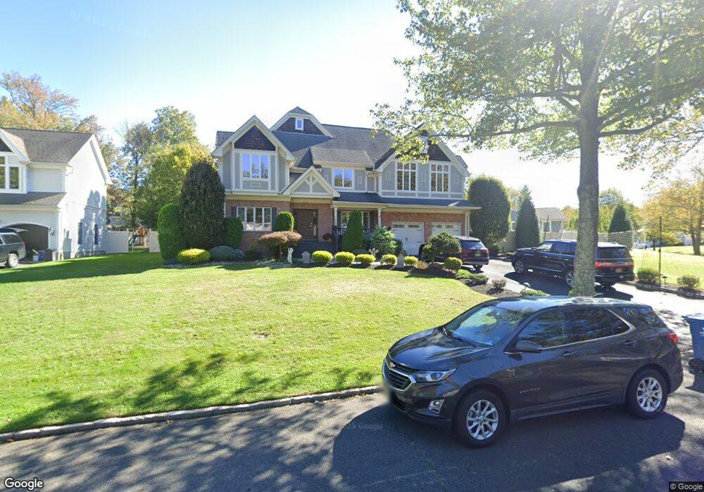
1535 Ramapo Way Scotch Plains, NJ 07076
Estimated Value: $989,203 - $1,753,000
--
Bed
--
Bath
3,570
Sq Ft
$389/Sq Ft
Est. Value
About This Home
This home is located at 1535 Ramapo Way, Scotch Plains, NJ 07076 and is currently estimated at $1,388,801, approximately $389 per square foot. 1535 Ramapo Way is a home located in Union County with nearby schools including William J. McGinn Elementary School, Terrill Middle School, and Scotch Plains-Fanwood High School.
Ownership History
Date
Name
Owned For
Owner Type
Purchase Details
Closed on
Jan 19, 2007
Sold by
223 Katherine Street Llc
Bought by
Columb Michael and Columb Ruth
Current Estimated Value
Home Financials for this Owner
Home Financials are based on the most recent Mortgage that was taken out on this home.
Original Mortgage
$350,000
Interest Rate
6.39%
Mortgage Type
Purchase Money Mortgage
Purchase Details
Closed on
Apr 4, 2005
Sold by
Jaydan Llc
Bought by
223 Katherine Street Llc
Purchase Details
Closed on
Feb 17, 2005
Sold by
Jaydan Llc
Bought by
Jaydan Llc
Create a Home Valuation Report for This Property
The Home Valuation Report is an in-depth analysis detailing your home's value as well as a comparison with similar homes in the area
Home Values in the Area
Average Home Value in this Area
Purchase History
| Date | Buyer | Sale Price | Title Company |
|---|---|---|---|
| Columb Michael | $990,000 | None Available | |
| 223 Katherine Street Llc | $425,000 | -- | |
| Jaydan Llc | -- | -- |
Source: Public Records
Mortgage History
| Date | Status | Borrower | Loan Amount |
|---|---|---|---|
| Previous Owner | Columb Michael | $350,000 |
Source: Public Records
Tax History Compared to Growth
Tax History
| Year | Tax Paid | Tax Assessment Tax Assessment Total Assessment is a certain percentage of the fair market value that is determined by local assessors to be the total taxable value of land and additions on the property. | Land | Improvement |
|---|---|---|---|---|
| 2025 | $29,667 | $252,100 | $34,600 | $217,500 |
| 2024 | $28,792 | $252,100 | $34,600 | $217,500 |
| 2023 | $28,792 | $252,100 | $34,600 | $217,500 |
| 2022 | $28,449 | $252,100 | $34,600 | $217,500 |
| 2021 | $28,402 | $252,100 | $34,600 | $217,500 |
| 2020 | $28,265 | $252,100 | $34,600 | $217,500 |
| 2019 | $28,056 | $252,100 | $34,600 | $217,500 |
| 2018 | $27,585 | $252,100 | $34,600 | $217,500 |
| 2017 | $26,972 | $252,100 | $34,600 | $217,500 |
| 2016 | $26,453 | $252,100 | $34,600 | $217,500 |
| 2015 | $26,019 | $252,100 | $34,600 | $217,500 |
| 2014 | $25,162 | $252,100 | $34,600 | $217,500 |
Source: Public Records
Map
Nearby Homes
- 1557 Ramapo Way
- 1521 Ramapo Way
- 1571 Ramapo Way
- 1180 Tanglewood Ln
- 1507 Ramapo Way
- 1542 Ramapo Way
- 1154 Tanglewood Ln
- 1550 Ramapo Way
- 1577 Ramapo Way
- 1526 Ramapo Way
- 1518 Ramapo Way
- 1534 Ramapo Way
- 1501 Ramapo Way
- 1185 Tanglewood Ln
- 1160 Tanglewood Ln
- 1558 Ramapo Way
- 1566 Ramapo Way
- 1510 Ramapo Way
- 1587 Ramapo Way
- 1574 Ramapo Way