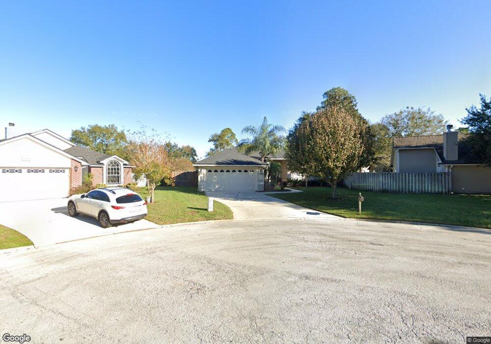
1535 Sea Spray Way Unit 2 Fleming Island, FL 32003
Estimated Value: $369,000 - $418,000
3
Beds
2
Baths
2,091
Sq Ft
$185/Sq Ft
Est. Value
About This Home
This home is located at 1535 Sea Spray Way Unit 2, Fleming Island, FL 32003 and is currently estimated at $386,541, approximately $184 per square foot. 1535 Sea Spray Way Unit 2 is a home located in Clay County with nearby schools including Robert M. Paterson Elementary School, Fleming Island High School, and Green Cove Springs Junior High School.
Ownership History
Date
Name
Owned For
Owner Type
Purchase Details
Closed on
Mar 28, 2002
Sold by
D R Horton Inc Jacksonville
Bought by
Andino Alberto and Andino Brandi
Current Estimated Value
Home Financials for this Owner
Home Financials are based on the most recent Mortgage that was taken out on this home.
Original Mortgage
$140,716
Outstanding Balance
$58,500
Interest Rate
6.85%
Mortgage Type
Purchase Money Mortgage
Estimated Equity
$328,041
Create a Home Valuation Report for This Property
The Home Valuation Report is an in-depth analysis detailing your home's value as well as a comparison with similar homes in the area
Home Values in the Area
Average Home Value in this Area
Purchase History
| Date | Buyer | Sale Price | Title Company |
|---|---|---|---|
| Andino Alberto | $150,100 | -- |
Source: Public Records
Mortgage History
| Date | Status | Borrower | Loan Amount |
|---|---|---|---|
| Open | Andino Alberto | $140,716 |
Source: Public Records
Tax History Compared to Growth
Tax History
| Year | Tax Paid | Tax Assessment Tax Assessment Total Assessment is a certain percentage of the fair market value that is determined by local assessors to be the total taxable value of land and additions on the property. | Land | Improvement |
|---|---|---|---|---|
| 2024 | $2,396 | $181,221 | -- | -- |
| 2023 | $2,396 | $175,943 | $0 | $0 |
| 2022 | $2,209 | $170,819 | $0 | $0 |
| 2021 | $2,199 | $165,844 | $0 | $0 |
| 2020 | $2,127 | $163,555 | $0 | $0 |
| 2019 | $2,094 | $159,878 | $0 | $0 |
| 2018 | $1,920 | $156,897 | $0 | $0 |
| 2017 | $1,908 | $153,670 | $0 | $0 |
| 2016 | $1,903 | $150,509 | $0 | $0 |
| 2015 | $1,955 | $149,463 | $0 | $0 |
| 2014 | $1,905 | $148,277 | $0 | $0 |
Source: Public Records
Map
Nearby Homes
- 1207 Stern Way
- 1203 Stern Way
- 1279 Pirates Cove Ln
- 1301 Portside Dr
- 1608 Dockside Dr
- 1052 Creighton Rd
- 1040 Creighton Rd
- JAMESON Plan at Creighton Pointe
- SEASIDE Plan at Creighton Pointe
- ST. GEORGE Plan at Creighton Pointe
- MARSHALL Plan at Creighton Pointe
- GRAYTON II Plan at Creighton Pointe
- ROSEMARY Plan at Creighton Pointe
- JENSEN Plan at Creighton Pointe
- 1024 Creighton Rd
- 1028 Creighton Rd
- 1044 Creighton Rd
- 3305 Us Highway 17
- 2216 Salt Myrtle Ln
- 2025 Castle Point Ct
- 1531 Sea Spray Way
- 1721 Dockside Dr
- 1490 Starboard Ct
- 1725 Dockside Dr Unit 2
- 1530 Sea Spray Way
- 1486 Starboard Ct
- 1731 Dockside Dr Unit 2
- 1735 Dockside Dr
- 1498 Starboard Ct
- 1534 Sea Spray Way
- 1502 Starboard Ct
- 1739 Dockside Dr
- 1482 Starboard Ct
- 1713 Dockside Dr
- 1494 Starboard Ct
- 167 Dockside Dr
- 1718 Dockside Dr
- 1722 Dockside Dr
- 1743 Dockside Dr
- 1478 Starboard Ct