1535 Simms Rd Stanardsville, VA 22973
Estimated Value: $273,000 - $332,000
3
Beds
1
Bath
1,404
Sq Ft
$210/Sq Ft
Est. Value
About This Home
This home is located at 1535 Simms Rd, Stanardsville, VA 22973 and is currently estimated at $295,169, approximately $210 per square foot. 1535 Simms Rd is a home located in Greene County with nearby schools including William Monroe High School.
Ownership History
Date
Name
Owned For
Owner Type
Purchase Details
Closed on
Jul 30, 2013
Sold by
Federal Home Loan Mortgage Corporation
Bought by
Zirk Benjamin S
Current Estimated Value
Home Financials for this Owner
Home Financials are based on the most recent Mortgage that was taken out on this home.
Original Mortgage
$109,701
Interest Rate
4.62%
Mortgage Type
FHA
Purchase Details
Closed on
May 6, 2013
Sold by
Newsome J David and Conty Of Greene
Bought by
Federal Home Loan Mortgage Corporation
Create a Home Valuation Report for This Property
The Home Valuation Report is an in-depth analysis detailing your home's value as well as a comparison with similar homes in the area
Purchase History
| Date | Buyer | Sale Price | Title Company |
|---|---|---|---|
| Zirk Benjamin S | $133,900 | None Available | |
| Federal Home Loan Mortgage Corporation | $142,500 | None Available |
Source: Public Records
Mortgage History
| Date | Status | Borrower | Loan Amount |
|---|---|---|---|
| Open | Zirk Benjamin S | $13,390 | |
| Previous Owner | Zirk Benjamin S | $109,701 |
Source: Public Records
Tax History
| Year | Tax Paid | Tax Assessment Tax Assessment Total Assessment is a certain percentage of the fair market value that is determined by local assessors to be the total taxable value of land and additions on the property. | Land | Improvement |
|---|---|---|---|---|
| 2025 | $1,541 | $223,400 | $40,000 | $183,400 |
| 2024 | $1,500 | $211,300 | $40,000 | $171,300 |
| 2023 | $1,543 | $211,300 | $40,000 | $171,300 |
| 2022 | $1,396 | $170,300 | $40,000 | $130,300 |
| 2021 | $1,396 | $170,300 | $40,000 | $130,300 |
| 2020 | $1,286 | $156,800 | $40,000 | $116,800 |
| 2019 | $1,286 | $156,800 | $40,000 | $116,800 |
| 2018 | $1,186 | $153,000 | $40,000 | $113,000 |
| 2017 | $1,186 | $153,000 | $40,000 | $113,000 |
| 2016 | $1,074 | $138,600 | $40,000 | $98,600 |
| 2015 | $1,040 | $138,600 | $40,000 | $98,600 |
| 2014 | $998 | $138,600 | $40,000 | $98,600 |
| 2013 | -- | $138,600 | $40,000 | $98,600 |
Source: Public Records
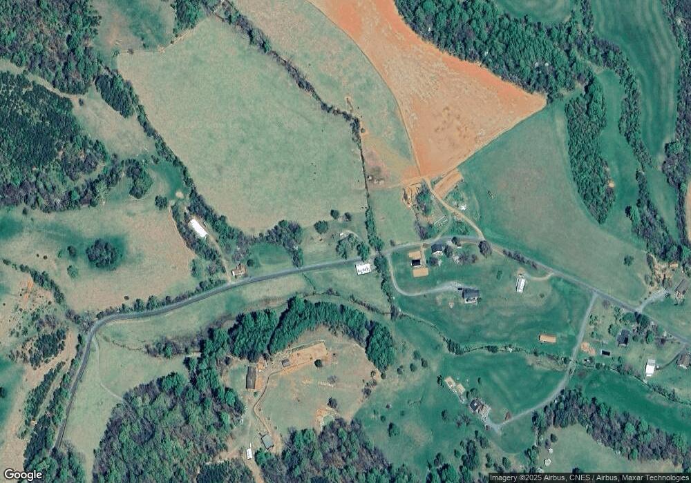
Map
Nearby Homes
- 33 E Circle Rd
- 431 Bear Run Rd
- TM 7-A-6 Entry Run Rd
- TM 7-A-6 Entry Run Rd Unit 6
- TBD Lot 56G Turkey Ridge Rd Unit 56G
- TBD Lot 56G Turkey Ridge Rd
- 123 Country Club Dr
- 114 Sunrise View
- Lot 14 Bartholomew Place
- 13 Bartholomew Place
- Lot 12 Bartholomew Place
- Lot 21 Yates Cir
- 0 Octonia Rd Unit 670773
- 1502 Top Ridge Rd
- 1402 Top Ridge Rd
- 1552 Top Ridge Rd
- 4345 Spotswood Trail
- 453 Lost Valley Rd
- RA Spotswood Trail
- TBD Stone Brook Dr
- 1606 Simms Rd
- 1441 Simms Rd
- 1590 Simms Rd
- 1294 Simms Rd
- 1706 Simms Rd
- 1754 Simms Rd
- 1784 Simms Rd
- 1842 Simms Rd
- 1815 Simms Rd
- 1878 Simms Rd
- 1150 Simms Rd
- 3959 Middle River Rd
- 3589 Middle River Rd
- 3497 Middle River Rd
- 3633 Middle River Rd
- 3343 Middle River Rd
- 3757 Middle River Rd
- 915 Simms Rd
- 0 Middle River SW Unit GR8106101
- 3675 Middle River Rd
Your Personal Tour Guide
Ask me questions while you tour the home.