1535 W Side Rd Block Island, RI 02807
Estimated Value: $1,582,000 - $2,522,000
3
Beds
3
Baths
1,766
Sq Ft
$1,153/Sq Ft
Est. Value
About This Home
This home is located at 1535 W Side Rd, Block Island, RI 02807 and is currently estimated at $2,035,944, approximately $1,152 per square foot. 1535 W Side Rd is a home with nearby schools including Block Island School.
Ownership History
Date
Name
Owned For
Owner Type
Purchase Details
Closed on
Feb 7, 2012
Sold by
Crocker-Valade Ft
Bought by
Valade Dennis R and Crocker Kathleen S
Current Estimated Value
Purchase Details
Closed on
Jan 31, 2011
Sold by
Valade Dennis R and Crocker Kathleen S
Bought by
Valade Tr Dennis R and Crocker Kathleen S
Home Financials for this Owner
Home Financials are based on the most recent Mortgage that was taken out on this home.
Original Mortgage
$313,000
Interest Rate
4.83%
Create a Home Valuation Report for This Property
The Home Valuation Report is an in-depth analysis detailing your home's value as well as a comparison with similar homes in the area
Home Values in the Area
Average Home Value in this Area
Purchase History
| Date | Buyer | Sale Price | Title Company |
|---|---|---|---|
| Valade Dennis R | -- | -- | |
| Crocker V T | -- | -- | |
| Valade Tr Dennis R | -- | -- |
Source: Public Records
Mortgage History
| Date | Status | Borrower | Loan Amount |
|---|---|---|---|
| Previous Owner | Valade Tr Dennis R | $313,000 | |
| Previous Owner | Valade Tr Dennis R | $640,000 | |
| Previous Owner | Valade Tr Dennis R | $670,000 |
Source: Public Records
Tax History
| Year | Tax Paid | Tax Assessment Tax Assessment Total Assessment is a certain percentage of the fair market value that is determined by local assessors to be the total taxable value of land and additions on the property. | Land | Improvement |
|---|---|---|---|---|
| 2025 | $9,984 | $1,733,300 | $1,167,600 | $565,700 |
| 2024 | $9,606 | $1,740,200 | $1,167,600 | $572,600 |
| 2023 | $10,476 | $1,740,200 | $1,167,600 | $572,600 |
| 2022 | $9,103 | $1,285,680 | $1,035,920 | $249,760 |
| 2021 | $8,614 | $1,285,680 | $1,035,920 | $249,760 |
| 2020 | $8,177 | $1,285,680 | $1,035,920 | $249,760 |
| 2019 | $7,920 | $1,285,680 | $1,035,920 | $249,760 |
| 2018 | $6,634 | $1,114,880 | $847,600 | $267,280 |
| 2017 | $6,533 | $1,114,880 | $847,600 | $267,280 |
| 2016 | $6,377 | $1,114,880 | $847,600 | $267,280 |
| 2015 | $7,744 | $1,405,400 | $1,059,500 | $345,900 |
| 2014 | $7,505 | $1,405,400 | $1,059,500 | $345,900 |
| 2013 | $7,322 | $1,405,400 | $1,059,500 | $345,900 |
Source: Public Records
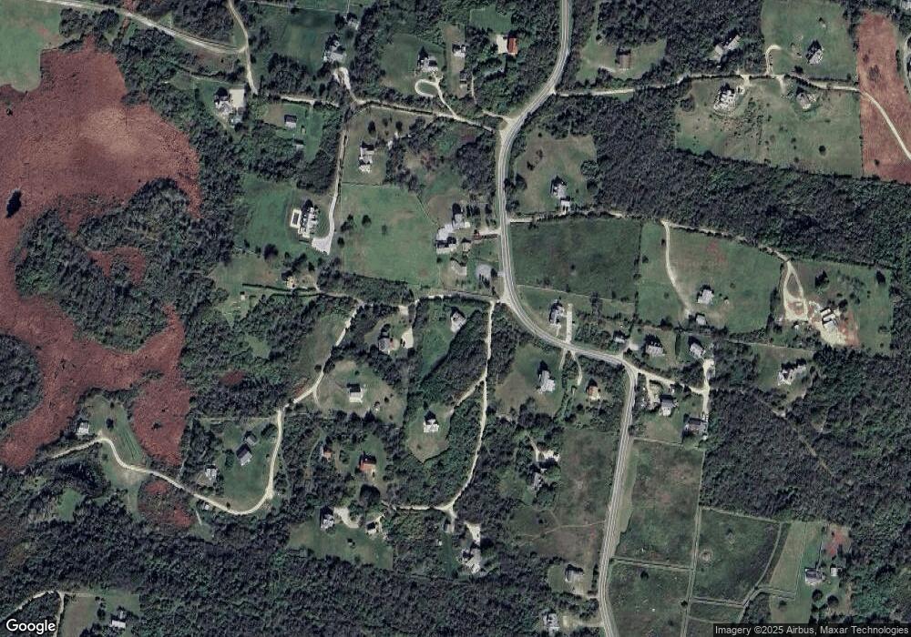
Map
Nearby Homes
- 1557 W Side Rd
- 1627 Old Mill Rd
- 1501 Beacon Hill Rd
- 1328 Cooneymus Rd
- 1210 Graces Cove Rd
- 557 Center Rd
- 1087 Lakeside Dr
- 1202 W Side Rd
- 0 Snake Hole Rd
- 454 Ocean Ave
- 1661 Sand Pond Rd
- 1448 Mohegan Trail
- 1035 Mohegan Trail
- 0 Mohegan Trail
- 1800 High St
- 804 Mohegan Trail
- 194 Pilot Hill Rd
- 1289 High St
- 256 High St
- 0 Pilot Hill Rd
Your Personal Tour Guide
Ask me questions while you tour the home.