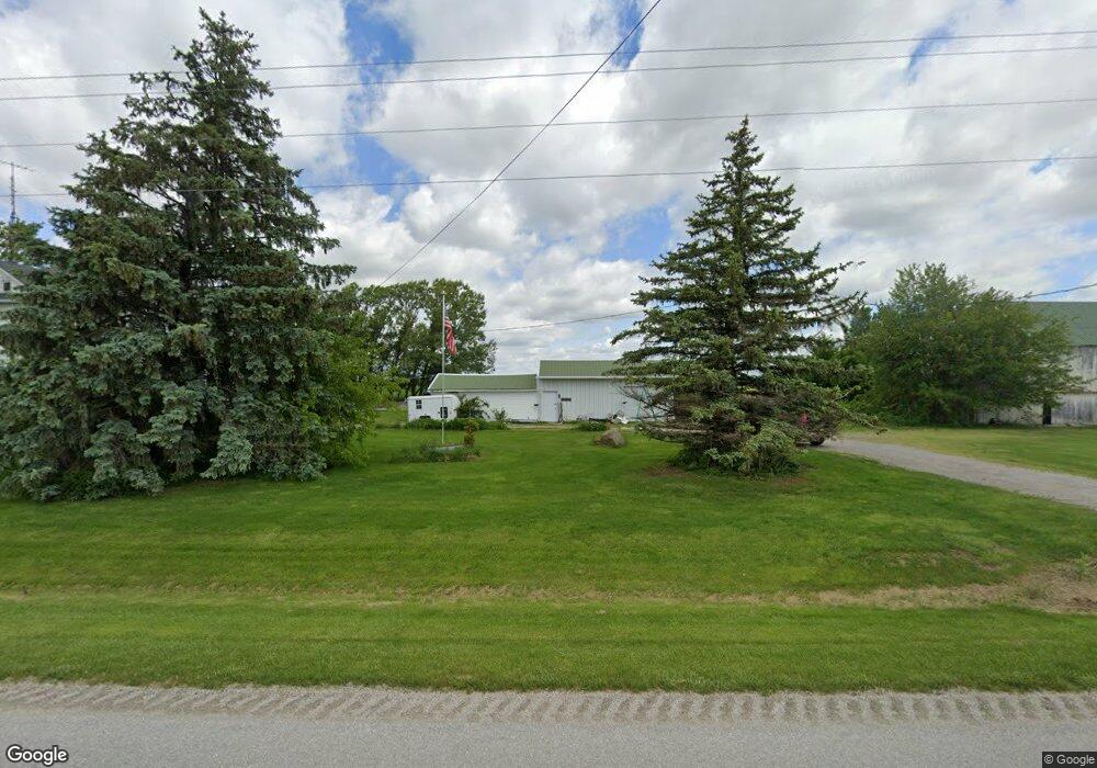
15351 Road 126 Paulding, OH 45879
Estimated Value: $197,000 - $226,000
5
Beds
2
Baths
1,856
Sq Ft
$114/Sq Ft
Est. Value
About This Home
This home is located at 15351 Road 126, Paulding, OH 45879 and is currently estimated at $211,746, approximately $114 per square foot. 15351 Road 126 is a home located in Paulding County with nearby schools including Paulding High School.
Ownership History
Date
Name
Owned For
Owner Type
Purchase Details
Closed on
Dec 29, 2016
Sold by
Mengerink Rebecca F Trustee & Grennay Heather
Bought by
John C Le Mcgrath and Sharon A Mcgrath
Current Estimated Value
Purchase Details
Closed on
Nov 30, 2016
Sold by
Mcgrath John C Co-Trust
Bought by
Mcgrath John C Co-Trust and Mcgrath Sharon A
Purchase Details
Closed on
Oct 17, 2006
Sold by
Mcgrath John C and Mcgrath Sharon A
Bought by
Mcgrath John C and Mcgrath Sharon A
Purchase Details
Closed on
Jan 8, 1997
Bought by
Mcgrath John C Co-Trust Mcgrath Sha
Create a Home Valuation Report for This Property
The Home Valuation Report is an in-depth analysis detailing your home's value as well as a comparison with similar homes in the area
Home Values in the Area
Average Home Value in this Area
Purchase History
| Date | Buyer | Sale Price | Title Company |
|---|---|---|---|
| John C Le Mcgrath | -- | -- | |
| Mcgrath John C Co-Trust | -- | -- | |
| Mcgrath John C | -- | None Available | |
| Mcgrath John C Co-Trust Mcgrath Sha | $30,000 | -- |
Source: Public Records
Tax History Compared to Growth
Tax History
| Year | Tax Paid | Tax Assessment Tax Assessment Total Assessment is a certain percentage of the fair market value that is determined by local assessors to be the total taxable value of land and additions on the property. | Land | Improvement |
|---|---|---|---|---|
| 2024 | $1,141 | $40,540 | $10,400 | $30,140 |
| 2023 | $1,141 | $40,540 | $10,400 | $30,140 |
| 2022 | $1,125 | $40,540 | $10,400 | $30,140 |
| 2021 | $945 | $33,400 | $10,400 | $23,000 |
| 2020 | $976 | $33,400 | $10,400 | $23,000 |
| 2019 | $985 | $32,310 | $10,400 | $21,910 |
| 2018 | $949 | $32,310 | $10,400 | $21,910 |
| 2017 | $950 | $32,310 | $10,400 | $21,910 |
| 2016 | $926 | $32,310 | $10,400 | $21,910 |
| 2015 | $885 | $31,720 | $9,700 | $22,020 |
| 2014 | $880 | $31,720 | $9,700 | $22,020 |
| 2013 | $1,313 | $31,720 | $9,700 | $22,020 |
Source: Public Records
Map
Nearby Homes
- 14255 Road 126
- 741 Tom Tim Dr
- 300 S Williams St
- 301 N Main St
- 516 N Williams St
- 726 N Main St
- 13688 Kay St
- 1045 Emerald Rd
- 1065 Emerald Rd
- Tract 2 - 0000 Ohio 111
- 0000 Ohio 111
- 825 Johnson Rd
- 714 W Wayne St
- 717 W Harrison St
- 720 W Wayne St
- 215 N Dewitt St
- 720 W Perry St
- 829 Greenbriar Ave
- 120 S Grant St
- 225 2nd St