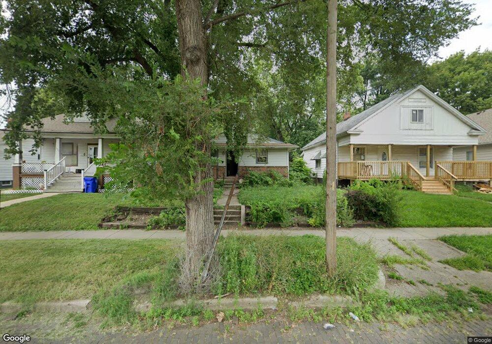
1536 E Locust St Decatur, IL 62521
Fans Field NeighborhoodEstimated Value: $38,034 - $55,000
Studio
--
Bath
--
Sq Ft
6,098
Sq Ft Lot
About This Home
This home is located at 1536 E Locust St, Decatur, IL 62521 and is currently estimated at $44,509. 1536 E Locust St is a home located in Macon County with nearby schools including Hope Academy and Robertson Charter School.
Ownership History
Date
Name
Owned For
Owner Type
Purchase Details
Closed on
Jul 5, 2000
Sold by
Jackson James A and Jackson Barbara L
Bought by
Hall Xavier R and Hall Tamika L
Current Estimated Value
Home Financials for this Owner
Home Financials are based on the most recent Mortgage that was taken out on this home.
Original Mortgage
$24,000
Interest Rate
6.37%
Mortgage Type
New Conventional
Purchase Details
Closed on
Jul 1, 2000
Home Financials for this Owner
Home Financials are based on the most recent Mortgage that was taken out on this home.
Original Mortgage
$24,000
Interest Rate
6.37%
Mortgage Type
New Conventional
Purchase Details
Closed on
Aug 1, 1998
Create a Home Valuation Report for This Property
The Home Valuation Report is an in-depth analysis detailing your home's value as well as a comparison with similar homes in the area
Home Values in the Area
Average Home Value in this Area
Purchase History
| Date | Buyer | Sale Price | Title Company |
|---|---|---|---|
| Hall Xavier R | $29,000 | None Available | |
| -- | $28,700 | -- | |
| -- | $22,500 | -- |
Source: Public Records
Mortgage History
| Date | Status | Borrower | Loan Amount |
|---|---|---|---|
| Previous Owner | Hall Xavier R | $24,000 |
Source: Public Records
Tax History
| Year | Tax Paid | Tax Assessment Tax Assessment Total Assessment is a certain percentage of the fair market value that is determined by local assessors to be the total taxable value of land and additions on the property. | Land | Improvement |
|---|---|---|---|---|
| 2024 | $993 | $10,258 | $1,159 | $9,099 |
| 2023 | $985 | $9,895 | $1,118 | $8,777 |
| 2022 | $962 | $9,408 | $1,035 | $8,373 |
| 2021 | $904 | $8,785 | $966 | $7,819 |
| 2020 | $891 | $8,377 | $921 | $7,456 |
| 2019 | $891 | $8,377 | $921 | $7,456 |
| 2018 | $970 | $9,236 | $924 | $8,312 |
| 2017 | $993 | $9,483 | $949 | $8,534 |
| 2016 | $1,012 | $9,580 | $959 | $8,621 |
| 2015 | $962 | $9,411 | $942 | $8,469 |
| 2014 | $893 | $9,318 | $933 | $8,385 |
| 2013 | $923 | $9,668 | $968 | $8,700 |
Source: Public Records
Map
Nearby Homes
- 1211 N 18th St
- 1135 E Locust St
- 1237 N Calhoun St
- 2280 E Hickory St
- 2430 Kirby Ct Unit KI2430
- 2522 Hedrick Ct Unit HE2522
- 2463 Steele Ct
- 2528 Hedrick Ct Unit HE2528
- 2428 N Dunn Dr Unit DU2428
- 1149 Maze Ct
- 415 E Division St
- 2451 N Dunn Dr Unit DU2451
- 2550 N Easy St Unit EA2550
- 1039 E William St
- 5 East Dr
- 240 E Olive St
- 1590 N Water St
- 1221 E Main St
- 1568 N Main St
- 230 S 16th St
- 1544 E Locust St
- 1528 E Locust St
- 1552 E Locust St
- 1520 E Locust St
- 1560 E Locust St
- 1512 E Locust St
- 1500 E Locust St
- 1537 E Hickory St
- 1529 E Hickory St
- 1545 E Hickory St
- 1604 E Locust St
- 1521 E Hickory St
- 1612 E Locust St
- 1519 E Locust St
- 1436 N Woodford St
- 1511 E Locust St
- 1561 E Hickory St
- 1527 E Locust St
- 1549 E Locust St
- 1605 E Hickory St
Your Personal Tour Guide
Ask me questions while you tour the home.