1536 Redding Rd Fairfield, CT 06824
Greenfield Hill NeighborhoodEstimated Value: $1,302,000 - $1,744,000
3
Beds
4
Baths
3,793
Sq Ft
$389/Sq Ft
Est. Value
About This Home
This home is located at 1536 Redding Rd, Fairfield, CT 06824 and is currently estimated at $1,476,945, approximately $389 per square foot. 1536 Redding Rd is a home located in Fairfield County with nearby schools including Dwight Elementary School, Roger Ludlowe Middle School, and Fairfield Ludlowe High School.
Ownership History
Date
Name
Owned For
Owner Type
Purchase Details
Closed on
Jan 13, 2005
Sold by
Patterson Tr Vgibney and Fells Austin S
Bought by
Mcnab Alexander and Melish Diane C
Current Estimated Value
Create a Home Valuation Report for This Property
The Home Valuation Report is an in-depth analysis detailing your home's value as well as a comparison with similar homes in the area
Home Values in the Area
Average Home Value in this Area
Purchase History
| Date | Buyer | Sale Price | Title Company |
|---|---|---|---|
| Mcnab Alexander | $775,000 | -- | |
| Mcnab Alexander | $775,000 | -- |
Source: Public Records
Mortgage History
| Date | Status | Borrower | Loan Amount |
|---|---|---|---|
| Previous Owner | Mcnab Alexander | $200,000 |
Source: Public Records
Tax History Compared to Growth
Tax History
| Year | Tax Paid | Tax Assessment Tax Assessment Total Assessment is a certain percentage of the fair market value that is determined by local assessors to be the total taxable value of land and additions on the property. | Land | Improvement |
|---|---|---|---|---|
| 2025 | $14,801 | $521,360 | $302,330 | $219,030 |
| 2024 | $14,546 | $521,360 | $302,330 | $219,030 |
| 2023 | $14,343 | $521,360 | $302,330 | $219,030 |
| 2022 | $14,202 | $521,360 | $302,330 | $219,030 |
| 2021 | $14,066 | $521,360 | $302,330 | $219,030 |
| 2020 | $15,147 | $565,390 | $341,810 | $223,580 |
| 2019 | $15,147 | $565,390 | $341,810 | $223,580 |
| 2018 | $14,904 | $565,390 | $341,810 | $223,580 |
| 2017 | $14,598 | $565,390 | $341,810 | $223,580 |
| 2016 | $14,389 | $565,390 | $341,810 | $223,580 |
| 2015 | $16,878 | $680,820 | $491,960 | $188,860 |
| 2014 | $16,612 | $680,820 | $491,960 | $188,860 |
Source: Public Records
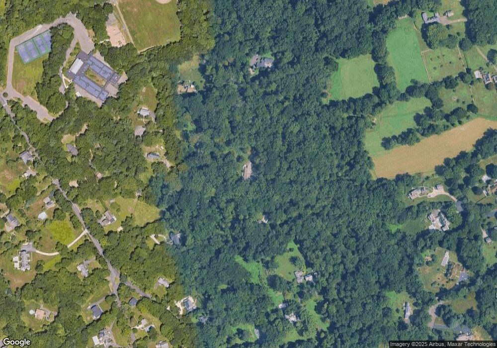
Map
Nearby Homes
- 480 Riders Ln
- 3853 Congress St
- 2015 Redding Rd
- 2281 Redding Rd
- 2683 Bronson Rd
- 2959 Congress St
- 99 Old Academy Rd
- 21 Queens Grant Dr
- 22 Brett Rd
- 4800 Congress St
- 750 Burr St
- 2190 Sturges Hwy
- 88 Merry Meet Cir
- 158 Coventry Ln
- 101 Brambley Hedge Cir
- 1084 Sturges Hwy
- 109 Buckboard Ln
- 212 Fence Row Dr
- 2492 Congress St
- 2425 Merwins Ln
- 1534 Redding Rd
- 1542 Redding Rd
- 1532 Redding Rd
- 116 Melin Dr
- 120 Melin Dr
- 1446 Redding Rd
- 110 Melin Dr
- 216 Dunham Rd
- 1546 Redding Rd
- 1500 Redding Rd
- 450 Dunham Rd
- 430 Dunham Rd
- 1580 Redding Rd
- 1445 Redding Rd
- 160 Cherry Ln
- 457 Dunham Rd
- 457 Dunham Rd Unit Cottage
- 1547 Redding Rd
- 1597 Redding Rd
- 151 Cherry Ln