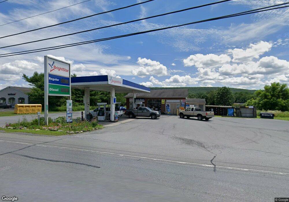
1536 Route 209 Brodheadsville, PA 18322
Brodheadsville NeighborhoodEstimated Value: $650,466
--
Bed
1
Bath
1,344
Sq Ft
$484/Sq Ft
Est. Value
About This Home
This home is located at 1536 Route 209, Brodheadsville, PA 18322 and is currently estimated at $650,466, approximately $483 per square foot. 1536 Route 209 is a home located in Monroe County with nearby schools including Pleasant Valley Elementary School, Pleasant Valley Intermediate School, and Pleasant Valley Middle School.
Ownership History
Date
Name
Owned For
Owner Type
Purchase Details
Closed on
May 15, 2020
Sold by
Dhesi Real Estate Holdings Llc
Bought by
Bright Star Fuel Llc
Current Estimated Value
Home Financials for this Owner
Home Financials are based on the most recent Mortgage that was taken out on this home.
Original Mortgage
$252,000
Outstanding Balance
$223,307
Interest Rate
3.3%
Mortgage Type
Future Advance Clause Open End Mortgage
Estimated Equity
$427,159
Purchase Details
Closed on
Mar 26, 2014
Sold by
Freeman Charles W and Freeman Phyllis A
Bought by
Dhesi Real Estate Holding Llc
Home Financials for this Owner
Home Financials are based on the most recent Mortgage that was taken out on this home.
Original Mortgage
$220,000
Interest Rate
4.27%
Mortgage Type
Commercial
Create a Home Valuation Report for This Property
The Home Valuation Report is an in-depth analysis detailing your home's value as well as a comparison with similar homes in the area
Home Values in the Area
Average Home Value in this Area
Purchase History
| Date | Buyer | Sale Price | Title Company |
|---|---|---|---|
| Bright Star Fuel Llc | $350,000 | None Available | |
| Dhesi Real Estate Holding Llc | $335,000 | None Available |
Source: Public Records
Mortgage History
| Date | Status | Borrower | Loan Amount |
|---|---|---|---|
| Open | Bright Star Fuel Llc | $252,000 | |
| Previous Owner | Dhesi Real Estate Holding Llc | $220,000 |
Source: Public Records
Tax History Compared to Growth
Tax History
| Year | Tax Paid | Tax Assessment Tax Assessment Total Assessment is a certain percentage of the fair market value that is determined by local assessors to be the total taxable value of land and additions on the property. | Land | Improvement |
|---|---|---|---|---|
| 2025 | $2,561 | $314,710 | $212,400 | $102,310 |
| 2024 | $2,089 | $314,710 | $212,400 | $102,310 |
| 2023 | $9,530 | $314,710 | $212,400 | $102,310 |
| 2022 | $9,271 | $314,710 | $212,400 | $102,310 |
| 2021 | $17,779 | $314,710 | $212,400 | $102,310 |
| 2020 | $18,330 | $633,190 | $531,000 | $102,190 |
| 2019 | $3,843 | $21,560 | $10,620 | $10,940 |
| 2018 | $3,800 | $21,560 | $10,620 | $10,940 |
| 2017 | $3,756 | $21,560 | $10,620 | $10,940 |
| 2016 | $597 | $21,560 | $10,620 | $10,940 |
| 2015 | -- | $21,560 | $10,620 | $10,940 |
| 2014 | -- | $21,560 | $10,620 | $10,940 |
Source: Public Records
Map
Nearby Homes
- 219 W Scott Ct
- 1547 Weir Creek Dr
- 1762 United States Route 209
- 232 Rodenbach Ln
- 2382 Pennsylvania 115
- 648 Marion Ln
- 44 Regency Ln
- 0 Lr 45003 Unit PM-132004
- 304 Shady Oaks Dr W
- 311 Switzgable Dr
- Lr 45003 Gilbert Rd
- 219 Robins Ct
- 103 Silver Valley Rd
- 423 Cottontail Ln
- 2116 James Way
- 122 Leisure Ln
- 558 Effort Neola Rd
- 300 Silver Valley Rd
- 2311 Long Acre Dr
- 2299 Long Acre Dr
- 1546 Route 209
- 1546 Route 209 Unit 103
- 1546 Route 209 Unit 1 bldg 3
- 1546 Route 209 Unit 102
- 1546 U S 209
- 1546 U S 209 Unit 3
- 1105 Scott St
- 1106 Scott St
- 2 Scott St
- 109 Leslie Dr
- 12 Scott St
- 1112 Scott St
- 1 Leslie Dr
- 208 Kevin (Front) Ln
- 208 Kevin Ln
- 208 - Fron Kevin Ln
- 208 Kevin Ln Unit Front back
- 208 Kevin Ln Unit Front middle
- 208 Kevin Ln Unit Front right
- 208 Kevin Ln Unit Front