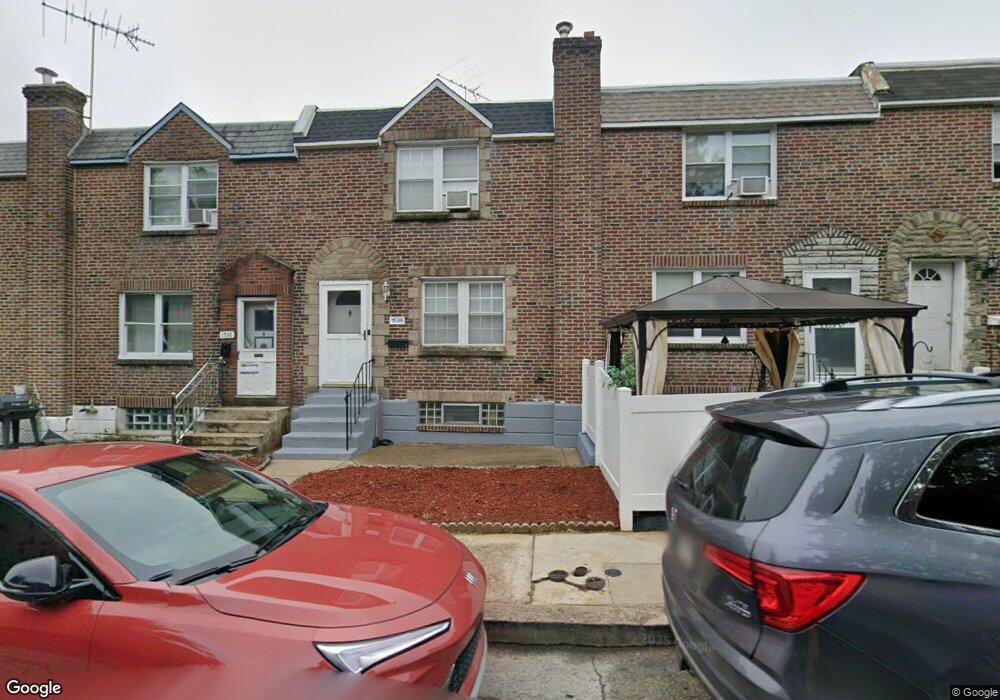
1536 Stevens St Philadelphia, PA 19149
Oxford Circle NeighborhoodEstimated Value: $199,000 - $227,000
3
Beds
1
Bath
1,126
Sq Ft
$188/Sq Ft
Est. Value
About This Home
This home is located at 1536 Stevens St, Philadelphia, PA 19149 and is currently estimated at $211,833, approximately $188 per square foot. 1536 Stevens St is a home located in Philadelphia County with nearby schools including Gilbert Spruance School, Northeast High School, and The Philadelphia Charter School for the Arts & Sciences.
Ownership History
Date
Name
Owned For
Owner Type
Purchase Details
Closed on
Nov 23, 2021
Sold by
Frazier Michael C
Bought by
Frazier Michael C and Thurston Deirdre V
Current Estimated Value
Home Financials for this Owner
Home Financials are based on the most recent Mortgage that was taken out on this home.
Original Mortgage
$162,800
Interest Rate
3.14%
Mortgage Type
FHA
Purchase Details
Closed on
Sep 29, 2000
Sold by
Zalkin Myer and Zalkin Marian S
Bought by
Frazier Michael C
Create a Home Valuation Report for This Property
The Home Valuation Report is an in-depth analysis detailing your home's value as well as a comparison with similar homes in the area
Home Values in the Area
Average Home Value in this Area
Purchase History
| Date | Buyer | Sale Price | Title Company |
|---|---|---|---|
| Frazier Michael C | -- | Richardson Ira A | |
| Frazier Michael C | $50,700 | -- |
Source: Public Records
Mortgage History
| Date | Status | Borrower | Loan Amount |
|---|---|---|---|
| Previous Owner | Frazier Michael C | $162,800 |
Source: Public Records
Tax History Compared to Growth
Tax History
| Year | Tax Paid | Tax Assessment Tax Assessment Total Assessment is a certain percentage of the fair market value that is determined by local assessors to be the total taxable value of land and additions on the property. | Land | Improvement |
|---|---|---|---|---|
| 2025 | $2,063 | $184,200 | $36,840 | $147,360 |
| 2024 | $2,063 | $184,200 | $36,840 | $147,360 |
| 2023 | $2,063 | $147,400 | $29,480 | $117,920 |
| 2022 | $844 | $102,400 | $29,480 | $72,920 |
| 2021 | $1,474 | $0 | $0 | $0 |
| 2020 | $1,474 | $0 | $0 | $0 |
| 2019 | $1,415 | $0 | $0 | $0 |
| 2018 | $1,491 | $0 | $0 | $0 |
| 2017 | $1,491 | $0 | $0 | $0 |
| 2016 | $1,071 | $0 | $0 | $0 |
| 2015 | $1,025 | $0 | $0 | $0 |
| 2014 | -- | $106,500 | $14,274 | $92,226 |
| 2012 | -- | $14,208 | $1,362 | $12,846 |
Source: Public Records
Map
Nearby Homes
- 1531 Stevens St
- 1551 Lardner St
- 1548 Lardner St
- 1507 Benner St
- 2001R Mckinley St
- 1453 Mckinley St
- 1439 Higbee St
- 1440 Robbins Ave
- 1438 Higbee St
- 1414 Mckinley St
- 6005 Horrocks St
- 6135 Castor Ave
- 6111 Castor Ave
- 1428 Higbee St
- 1427 Robbins Ave
- 7040 E Roosevelt Blvd
- 7536 E Roosevelt Blvd
- 6840 E Roosevelt Blvd
- 7600 E Roosevelt Blvd Unit 206
- 7600 E Roosevelt Blvd Unit 212
- 1538 Stevens St
- 1534 Stevens St
- 1532 Stevens St
- 1530 Stevens St
- 1539 Lardner St
- 1541 Lardner St
- 1537 Lardner St
- 1543 Lardner St
- 1535 Lardner St
- 1542 Stevens St
- 1528 Stevens St
- 1545 Lardner St
- 1533 Lardner St
- 1544 Stevens St
- 1526 Stevens St
- 1547 Lardner St
- 1531 Lardner St
- 1537 Stevens St
- 1539 Stevens St
- 1535 Stevens St