15363 Highway 102 Jennings, LA 70546
Estimated Value: $212,000 - $442,363
--
Bed
--
Bath
--
Sq Ft
9
Acres
About This Home
This home is located at 15363 Highway 102, Jennings, LA 70546 and is currently estimated at $343,341. 15363 Highway 102 is a home located in Jefferson Davis Parish with nearby schools including Ward Elementary School, Jennings Elementary School, and Jennings High School.
Ownership History
Date
Name
Owned For
Owner Type
Purchase Details
Closed on
Jul 31, 2009
Sold by
Sarver Robert Presley and Sarver Bonnie Faulk
Bought by
Stutes Myra Lynn
Current Estimated Value
Home Financials for this Owner
Home Financials are based on the most recent Mortgage that was taken out on this home.
Original Mortgage
$200,000
Outstanding Balance
$106,203
Interest Rate
1.8%
Mortgage Type
Purchase Money Mortgage
Estimated Equity
$237,138
Create a Home Valuation Report for This Property
The Home Valuation Report is an in-depth analysis detailing your home's value as well as a comparison with similar homes in the area
Home Values in the Area
Average Home Value in this Area
Purchase History
| Date | Buyer | Sale Price | Title Company |
|---|---|---|---|
| Stutes Myra Lynn | $30,000 | None Available |
Source: Public Records
Mortgage History
| Date | Status | Borrower | Loan Amount |
|---|---|---|---|
| Open | Stutes Myra Lynn | $200,000 |
Source: Public Records
Tax History Compared to Growth
Tax History
| Year | Tax Paid | Tax Assessment Tax Assessment Total Assessment is a certain percentage of the fair market value that is determined by local assessors to be the total taxable value of land and additions on the property. | Land | Improvement |
|---|---|---|---|---|
| 2024 | $4,468 | $41,150 | $3,200 | $37,950 |
| 2023 | $3,965 | $36,200 | $3,200 | $33,000 |
| 2022 | $3,144 | $36,200 | $3,200 | $33,000 |
| 2021 | $3,965 | $36,200 | $3,200 | $33,000 |
| 2020 | $4,397 | $36,200 | $3,200 | $33,000 |
| 2019 | $3,952 | $35,900 | $3,200 | $32,700 |
| 2018 | $3,930 | $35,900 | $3,200 | $32,700 |
| 2017 | $3,930 | $35,900 | $3,200 | $32,700 |
| 2015 | $3,839 | $35,200 | $3,200 | $32,000 |
| 2014 | $3,839 | $35,200 | $3,200 | $32,000 |
| 2013 | $3,899 | $35,200 | $3,200 | $32,000 |
Source: Public Records
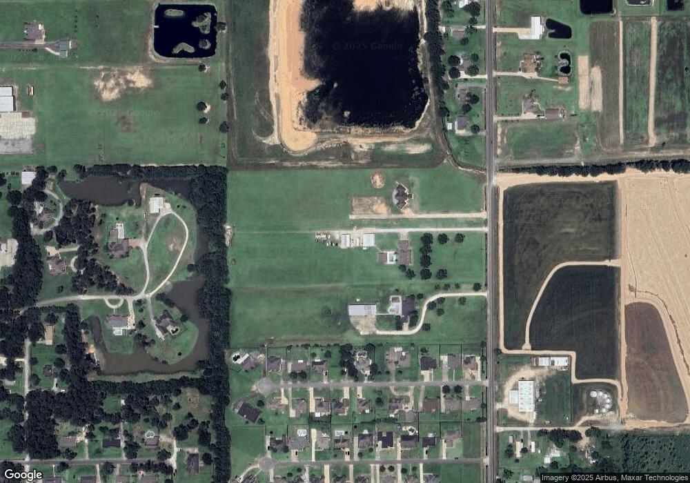
Map
Nearby Homes
- 0 Englewood Dr Unit SWL24002724
- 0 Englewood Dr Unit 24004583
- 3013 Woodland Dr
- 0 Woodland Dr Unit SWL22004342
- 0 Woodland Dr Unit SWL25000953
- 3005 Woodland Dr
- 0 Woodland Dr Unit 22005132
- 0 Woodland Dr Unit 25001507
- 16052 Highway 26
- 0 Highway 26 Hwy
- 1831 N Cutting Ave
- 3020 Ashley Dr
- 0 Virginia Ave Unit Avenue 32-537
- 0 Virginia Ave Unit SWL25000762
- 1611 N Sherman St
- 1425 Elton Rd
- 814 Comfort Ln
- TBD Acadian Dr
- 815 Comfort Ln
- 0 N Cutting Ave
- 15375 Highway 102
- 3022 Englewood Dr
- 15299 Highway 102
- 3030 Englewood Dr
- 3014 Englewood Dr
- 3034 Englewood Dr
- 3038 Englewood Dr
- 3025 Englewood Dr
- 3010 Englewood Dr
- 3021 Englewood Dr
- 3013 Englewood Dr
- 0 Englewood Dr Unit 85854
- 0 Englewood Dr Unit 86889
- 0 Englewood Dr Unit 113428
- 0 Englewood Dr
- 3033 Englewood Dr
- 3006 Englewood Dr
- 3026 Woodland Dr
- 3022 Woodland Dr
- 3042 Englewood Dr