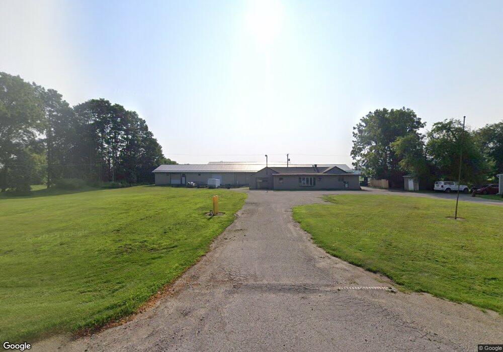
15365 Francis Rd Lansing, MI 48906
Estimated Value: $387,145
--
Bed
--
Bath
6,168
Sq Ft
$63/Sq Ft
Est. Value
About This Home
This home is located at 15365 Francis Rd, Lansing, MI 48906 and is currently priced at $387,145, approximately $62 per square foot. 15365 Francis Rd is a home located in Clinton County with nearby schools including Wacousta Elementary School, Leon W. Hayes Middle School, and Grand Ledge High School.
Ownership History
Date
Name
Owned For
Owner Type
Purchase Details
Closed on
Oct 1, 2014
Sold by
Whipple Victor and Whipple Carolin
Bought by
Abd Llc
Current Estimated Value
Home Financials for this Owner
Home Financials are based on the most recent Mortgage that was taken out on this home.
Original Mortgage
$132,000
Outstanding Balance
$101,085
Interest Rate
4.07%
Mortgage Type
Future Advance Clause Open End Mortgage
Purchase Details
Closed on
Jul 19, 2004
Sold by
First National Acceptance Co
Bought by
Whipple Victor and Whipple Carolin
Create a Home Valuation Report for This Property
The Home Valuation Report is an in-depth analysis detailing your home's value as well as a comparison with similar homes in the area
Home Values in the Area
Average Home Value in this Area
Purchase History
| Date | Buyer | Sale Price | Title Company |
|---|---|---|---|
| Abd Llc | $165,000 | None Available | |
| Whipple Victor | $210,000 | -- |
Source: Public Records
Mortgage History
| Date | Status | Borrower | Loan Amount |
|---|---|---|---|
| Open | Abd Llc | $132,000 |
Source: Public Records
Tax History Compared to Growth
Tax History
| Year | Tax Paid | Tax Assessment Tax Assessment Total Assessment is a certain percentage of the fair market value that is determined by local assessors to be the total taxable value of land and additions on the property. | Land | Improvement |
|---|---|---|---|---|
| 2025 | $7,112 | $175,550 | $28,200 | $147,350 |
| 2024 | $1,576 | $160,500 | $25,350 | $135,150 |
| 2023 | $1,493 | $173,800 | $0 | $0 |
| 2022 | $6,442 | $147,900 | $19,400 | $128,500 |
| 2021 | $6,251 | $134,600 | $18,550 | $116,050 |
| 2020 | $5,940 | $129,550 | $17,950 | $111,600 |
| 2019 | $5,766 | $126,100 | $16,250 | $109,850 |
| 2018 | $5,409 | $114,300 | $16,250 | $98,050 |
| 2017 | $5,331 | $114,000 | $16,300 | $97,700 |
| 2016 | $5,331 | $109,050 | $15,850 | $93,200 |
| 2015 | $5,373 | $106,350 | $0 | $0 |
| 2011 | -- | $104,600 | $0 | $0 |
Source: Public Records
Map
Nearby Homes
- 6157 W Stoll Rd
- 7837 W Grand
- V/L N Grove
- 15250 Nottingham Fields Pkwy
- 15260 Nottingham Fields Pkwy
- 15332 Sherwood Ln
- 15240 Nottingham Fields Pkwy
- 15312 Sherwood Ln
- 15292 Sherwood Ln
- 15317 Sherwood Ln
- 15347 Sherwood Ln
- 15277 Sherwood Ln
- 15080 Loxley Ln Unit 21
- 7895 W Herbison Rd
- 9135 Klein Farm
- 0 Lot C Willow
- 0 Lot B Willow
- Lot 3a Rachael Fairfax Dr
- 1909 Redbud Ln Unit 3
- Lot 1a Rachael Fairfax Dr
- 15383 Francis Rd
- 15275 Francis Rd
- 15300 Francis Rd
- 15248 Francis Rd
- 15545 Francis Rd
- 15185 Francis Rd
- 15180 Francis Rd
- 15175 Francis Rd
- 15096 Francis Rd
- 0 Francis Rd
- 15001 Francis Rd
- 6901 W Stoll Rd
- 15000 Francis Rd
- 7745 W Stoll Rd
- 7716 W Stoll Rd
- 14961 Francis Rd
- 14960 Francis Rd
- 6908 W Stoll Rd
- 6601 W Stoll Rd
- 7603 W Stoll Rd