Estimated Value: $243,000 - $395,000
2
Beds
2
Baths
864
Sq Ft
$369/Sq Ft
Est. Value
About This Home
This home is located at 15365 Rhoads Rd, Logan, OH 43138 and is currently estimated at $319,000, approximately $369 per square foot. 15365 Rhoads Rd is a home with nearby schools including Hocking Hills Elementary School.
Ownership History
Date
Name
Owned For
Owner Type
Purchase Details
Closed on
Dec 21, 2020
Sold by
Tgdrv Llc
Bought by
Rve Cabins Llc
Current Estimated Value
Home Financials for this Owner
Home Financials are based on the most recent Mortgage that was taken out on this home.
Original Mortgage
$300,000
Outstanding Balance
$267,089
Interest Rate
2.7%
Mortgage Type
Future Advance Clause Open End Mortgage
Estimated Equity
$51,911
Purchase Details
Closed on
Mar 8, 2019
Sold by
Mirick Chester W and Mirick Sharon Lee
Bought by
Tgdrv Llc
Home Financials for this Owner
Home Financials are based on the most recent Mortgage that was taken out on this home.
Original Mortgage
$508,875
Interest Rate
4.4%
Mortgage Type
Future Advance Clause Open End Mortgage
Create a Home Valuation Report for This Property
The Home Valuation Report is an in-depth analysis detailing your home's value as well as a comparison with similar homes in the area
Purchase History
| Date | Buyer | Sale Price | Title Company |
|---|---|---|---|
| Rve Cabins Llc | $110,000 | Hocking Valley Ttl Agcy Inc | |
| Freda Robert M | $60,000 | Hocking Valley Ttl Agcy Inc | |
| Tgdrv Llc | $673,000 | Hocking Valley Ttl Agcy Inc |
Source: Public Records
Mortgage History
| Date | Status | Borrower | Loan Amount |
|---|---|---|---|
| Open | Freda Robert M | $300,000 | |
| Previous Owner | Tgdrv Llc | $508,875 |
Source: Public Records
Tax History Compared to Growth
Tax History
| Year | Tax Paid | Tax Assessment Tax Assessment Total Assessment is a certain percentage of the fair market value that is determined by local assessors to be the total taxable value of land and additions on the property. | Land | Improvement |
|---|---|---|---|---|
| 2024 | $8,728 | $0 | $0 | $0 |
| 2023 | $8,728 | $226,460 | $97,950 | $128,510 |
| 2022 | $8,742 | $226,460 | $97,950 | $128,510 |
| 2021 | $5,215 | $126,850 | $76,830 | $50,020 |
| 2020 | $5,193 | $126,850 | $76,830 | $50,020 |
| 2019 | $5,469 | $133,550 | $83,530 | $50,020 |
| 2018 | $4,317 | $107,740 | $57,720 | $50,020 |
| 2017 | $4,239 | $107,740 | $57,720 | $50,020 |
| 2016 | $4,209 | $107,740 | $57,720 | $50,020 |
| 2015 | $4,565 | $112,700 | $66,270 | $46,430 |
| 2014 | $4,565 | $112,700 | $66,270 | $46,430 |
| 2013 | $4,585 | $112,700 | $66,270 | $46,430 |
Source: Public Records
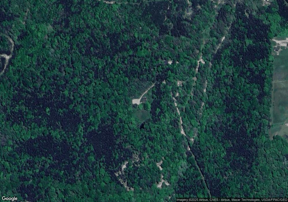
Map
Nearby Homes
- 29593 Big Pine Rd
- 0 Hawthorne Way Unit 225040022
- 16160 Collison Rd
- 0 Pleasant Valley Rd Unit 225037822
- 0 Unger Rd Unit Lot H 225036416
- 14121 State Route 664 S
- 14180 Ohio 664
- 13534 Hildebrandt Rd
- 13493 Hildebrandt Rd
- 17260 Krinn Unger Keck Rd
- 15050 Old McArthur Rd
- 15155 Sauerkraut Rd
- 31440 Deerfield Dr
- 0 Evans Rd
- 29838 Strawn Rd
- 30483 Lake Logan Rd
- 30574 Strawn Rd
- 16187 Kreashbaum Rd
- 0 Nixon Rd
- 1139 Old McArthur Rd
- 15439 Rhoads Rd
- 15179 Rhoads Rd
- 15518 Rhoads Rd
- 15063 Rhoads Rd
- 15520 Rhoads Rd
- 15055 Rhoads Rd
- 15100 Rhoads Rd
- 15108 Rhoads Rd
- 28590 Cook Rd
- 15017 Rhoads Rd
- 28760 Cook Rd
- 14983 Rhoads Rd
- 28644 Cook Rd
- 28491 Starr Route Rd
- 15640 Rhoads Rd
- 28433 Starr Route Rd
- 28467 Starr Route Rd
- 14933 Rhoads Rd
- 28561 Cook Rd
- 28401 Starr Route Rd