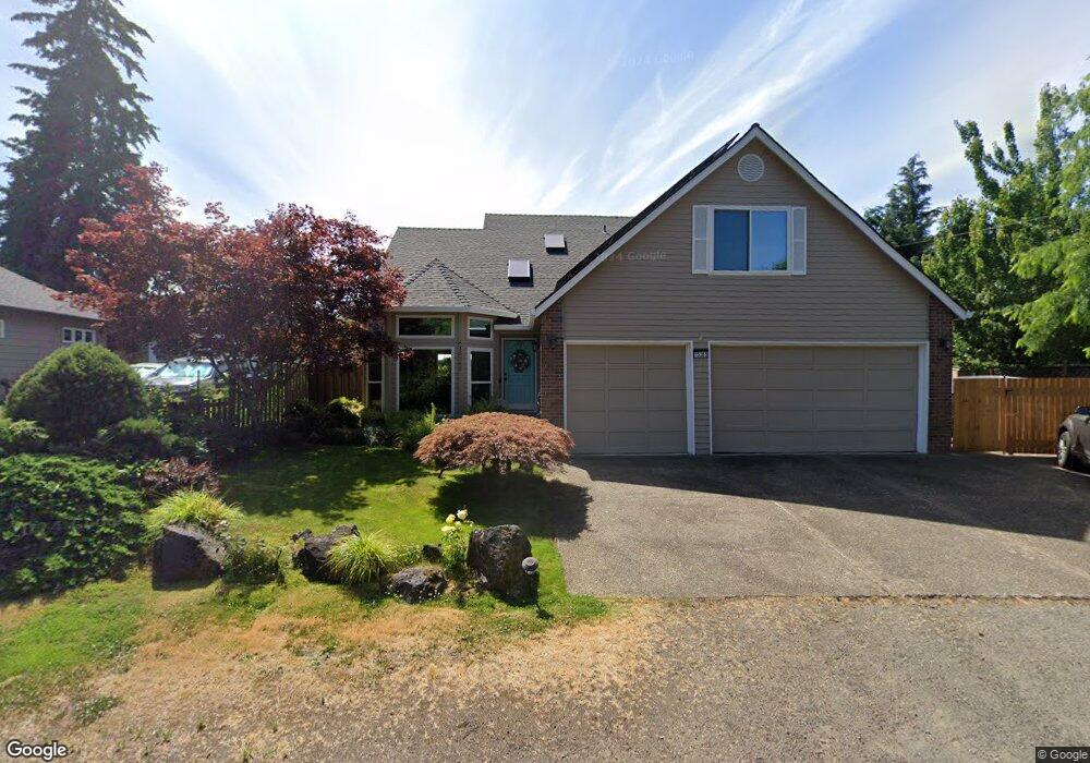
15365 SW 79th Ave Portland, OR 97224
Durham Road NeighborhoodEstimated Value: $624,000 - $706,000
4
Beds
3
Baths
2,164
Sq Ft
$302/Sq Ft
Est. Value
About This Home
This home is located at 15365 SW 79th Ave, Portland, OR 97224 and is currently estimated at $653,135, approximately $301 per square foot. 15365 SW 79th Ave is a home located in Washington County with nearby schools including Durham Elementary School, Twality Middle School, and Tigard High School.
Ownership History
Date
Name
Owned For
Owner Type
Purchase Details
Closed on
Jul 27, 2007
Sold by
Lavigne Edward C and Lavigne Debra D
Bought by
Lavigne Edward Clen and Lavigne Debra Dee
Current Estimated Value
Purchase Details
Closed on
Jul 15, 1999
Sold by
Helmholz Craig S and Helmholz Kimberly R
Bought by
Lavigne Edward C and Lavigne Debra D
Home Financials for this Owner
Home Financials are based on the most recent Mortgage that was taken out on this home.
Original Mortgage
$117,000
Outstanding Balance
$32,359
Interest Rate
7.4%
Estimated Equity
$620,776
Purchase Details
Closed on
May 24, 1996
Sold by
Somerville Michael and Somerville Judith A
Bought by
Helmholz Craig S and Helmholz Kimberly R
Home Financials for this Owner
Home Financials are based on the most recent Mortgage that was taken out on this home.
Original Mortgage
$151,200
Interest Rate
7.59%
Create a Home Valuation Report for This Property
The Home Valuation Report is an in-depth analysis detailing your home's value as well as a comparison with similar homes in the area
Home Values in the Area
Average Home Value in this Area
Purchase History
| Date | Buyer | Sale Price | Title Company |
|---|---|---|---|
| Lavigne Edward Clen | -- | None Available | |
| Lavigne Edward C | $235,000 | Ticor Title Insurance | |
| Helmholz Craig S | $189,000 | First American Title Ins Co |
Source: Public Records
Mortgage History
| Date | Status | Borrower | Loan Amount |
|---|---|---|---|
| Open | Lavigne Edward C | $117,000 | |
| Previous Owner | Helmholz Craig S | $151,200 |
Source: Public Records
Tax History Compared to Growth
Tax History
| Year | Tax Paid | Tax Assessment Tax Assessment Total Assessment is a certain percentage of the fair market value that is determined by local assessors to be the total taxable value of land and additions on the property. | Land | Improvement |
|---|---|---|---|---|
| 2025 | $6,695 | $392,670 | -- | -- |
| 2024 | $6,515 | $381,240 | -- | -- |
| 2023 | $6,515 | $370,140 | $0 | $0 |
| 2022 | $6,328 | $370,140 | $0 | $0 |
| 2021 | $6,169 | $348,900 | $0 | $0 |
| 2020 | $5,984 | $338,740 | $0 | $0 |
| 2019 | $5,725 | $328,880 | $0 | $0 |
| 2018 | $5,493 | $319,310 | $0 | $0 |
| 2017 | $5,294 | $310,010 | $0 | $0 |
| 2016 | $5,030 | $300,990 | $0 | $0 |
| 2015 | $4,727 | $292,230 | $0 | $0 |
| 2014 | $4,551 | $283,720 | $0 | $0 |
Source: Public Records
Map
Nearby Homes
- 14994 SW Belvoir Ct
- 14964 SW Belvoir Ct
- 7585 SW Onnaf Ct
- 7946 SW Churchill Way
- 8420 SW Norfolk Ct
- 7744 SW Cornutt St
- 7988 SW Leiser Ln
- 15974 SW 76th Ave
- 8596 SW Schmidt Loop
- 14670 SW 78th Ave
- 7913 SW Leiser Ln
- 14611 SW 78th Ave
- 15080 SW 88th Ave
- 8539 SW Avon St
- 14544 SW 78th Ave
- 8801 SW Scheckla Dr
- 15755 SW 87th Ave
- 16461 SW Cambridge Ln
- 8755 SW Pinebrook St
- 16426 SW Cambridge Ln
- 15374 SW Thurston Ln
- 15385 SW 79th Ave
- 15218 SW Thurston Ln
- 15230 SW Thurston Ln
- 15396 SW Thurston Ln
- 15352 SW Thurston Ln
- 7415 SW Ashford St
- 7903 SW Ashford St
- 7925 SW Ashford St
- 15390 SW 79th Ave
- 7947 SW Ashford St
- 15341 SW Thurston Ln
- 15363 SW Thurston Ln
- 15329 SW Thurston Ln
- 15381 SW Thurston Ln
- 7436 SW Ashford St
- 15201 SW Thurston Ln
- 7867 SW Ashford St
- 15245 SW Thurston Ln
- 15307 SW Thurston Ln