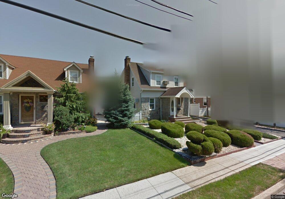
1537 Darling St North Baldwin, NY 11510
Estimated Value: $624,874
--
Bed
3
Baths
1,662
Sq Ft
$376/Sq Ft
Est. Value
About This Home
This home is located at 1537 Darling St, North Baldwin, NY 11510 and is currently estimated at $624,874, approximately $375 per square foot. 1537 Darling St is a home located in Nassau County with nearby schools including Baldwin Senior High School.
Ownership History
Date
Name
Owned For
Owner Type
Purchase Details
Closed on
Jan 24, 2024
Sold by
Mask Barry W and Mask Rochelle
Bought by
Mask Treyvoa D and Mask Family Trust
Current Estimated Value
Purchase Details
Closed on
Jun 14, 1996
Sold by
Zarnitz Joseph and Zarnitz Elizabeth
Bought by
Mask Barry and Mask Rochelle
Home Financials for this Owner
Home Financials are based on the most recent Mortgage that was taken out on this home.
Original Mortgage
$153,000
Outstanding Balance
$9,962
Interest Rate
8.21%
Estimated Equity
$614,912
Create a Home Valuation Report for This Property
The Home Valuation Report is an in-depth analysis detailing your home's value as well as a comparison with similar homes in the area
Home Values in the Area
Average Home Value in this Area
Purchase History
| Date | Buyer | Sale Price | Title Company |
|---|---|---|---|
| Mask Treyvoa D | -- | Judicial Title Ins Agcy Llc | |
| Mask Treyvoa D | -- | Judicial Title Ins Agcy Llc | |
| Mask Barry | $170,000 | -- | |
| Mask Barry | $170,000 | -- |
Source: Public Records
Mortgage History
| Date | Status | Borrower | Loan Amount |
|---|---|---|---|
| Open | Mask Barry | $153,000 | |
| Closed | Mask Barry | $153,000 |
Source: Public Records
Tax History Compared to Growth
Tax History
| Year | Tax Paid | Tax Assessment Tax Assessment Total Assessment is a certain percentage of the fair market value that is determined by local assessors to be the total taxable value of land and additions on the property. | Land | Improvement |
|---|---|---|---|---|
| 2025 | $14,742 | $478 | $137 | $341 |
| 2024 | $3,592 | $451 | $127 | $324 |
| 2023 | $14,813 | $487 | $137 | $350 |
| 2022 | $14,813 | $487 | $137 | $350 |
| 2021 | $20,856 | $473 | $133 | $340 |
| 2020 | $15,732 | $816 | $498 | $318 |
| 2019 | $14,405 | $816 | $498 | $318 |
| 2018 | $13,543 | $816 | $0 | $0 |
| 2017 | $8,324 | $816 | $498 | $318 |
| 2016 | $12,256 | $816 | $498 | $318 |
| 2015 | $3,732 | $816 | $498 | $318 |
| 2014 | $3,732 | $816 | $498 | $318 |
| 2013 | $3,495 | $816 | $498 | $318 |
Source: Public Records
Map
Nearby Homes
- 1535 Mattison St
- 840 Kings Pkwy
- 723 William St
- 4 Robert Place
- 1600 Grand Ave Unit V1
- 1449 Grand Ave
- 700 W Carl Ave
- 1476 Kingston Ave
- 685 John St
- 915 Wallace Ave
- 712 Demott Ave
- 1420 Grand Ave
- 1459 Prince St
- 1690 Grand Ave Unit A16
- 1690 Grand Ave Unit B14
- 1426 Forest Ave
- 1515 Paul St
- 1477 Wales Ave
- 819 Edward St
- 7 Mayfair Rd