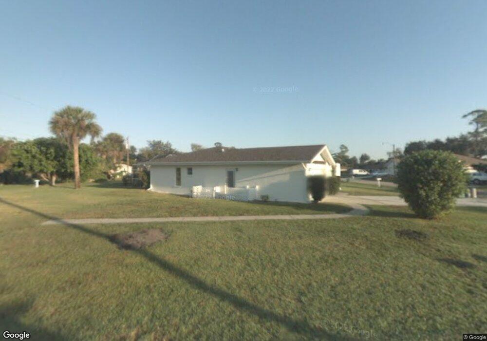
1537 Fireside St Port Charlotte, FL 33952
Estimated Value: $233,707 - $271,000
2
Beds
2
Baths
1,396
Sq Ft
$184/Sq Ft
Est. Value
About This Home
This home is located at 1537 Fireside St, Port Charlotte, FL 33952 and is currently estimated at $257,427, approximately $184 per square foot. 1537 Fireside St is a home located in Charlotte County with nearby schools including Neil Armstrong Elementary School, Murdock Middle School, and Port Charlotte High School.
Ownership History
Date
Name
Owned For
Owner Type
Purchase Details
Closed on
Jun 19, 2017
Sold by
Kuenlen Erik C and Kuenlen Michael George
Bought by
Burga Daniel E and Burga Patricia
Current Estimated Value
Home Financials for this Owner
Home Financials are based on the most recent Mortgage that was taken out on this home.
Original Mortgage
$126,400
Outstanding Balance
$104,936
Interest Rate
3.95%
Mortgage Type
New Conventional
Estimated Equity
$152,491
Purchase Details
Closed on
Oct 4, 2001
Sold by
Kuenlen Erik C
Bought by
Kuenlen Erik C and Kuenlen Michael George
Purchase Details
Closed on
Aug 12, 1998
Sold by
Cassler Dewey O
Bought by
Kuenlen Anita C and Kuenlen Erik C
Purchase Details
Closed on
May 22, 1998
Sold by
Cassler Sara
Bought by
Cassler Dewey O
Create a Home Valuation Report for This Property
The Home Valuation Report is an in-depth analysis detailing your home's value as well as a comparison with similar homes in the area
Home Values in the Area
Average Home Value in this Area
Purchase History
| Date | Buyer | Sale Price | Title Company |
|---|---|---|---|
| Burga Daniel E | $158,000 | Burnt Store Title & Escrow L | |
| Kuenlen Erik C | -- | -- | |
| Kuenlen Anita C | -- | -- | |
| Cassler Dewey O | -- | -- |
Source: Public Records
Mortgage History
| Date | Status | Borrower | Loan Amount |
|---|---|---|---|
| Open | Burga Daniel E | $126,400 |
Source: Public Records
Tax History Compared to Growth
Tax History
| Year | Tax Paid | Tax Assessment Tax Assessment Total Assessment is a certain percentage of the fair market value that is determined by local assessors to be the total taxable value of land and additions on the property. | Land | Improvement |
|---|---|---|---|---|
| 2023 | $2,294 | $137,706 | $0 | $0 |
| 2022 | $2,490 | $151,912 | $0 | $0 |
| 2021 | $2,479 | $147,487 | $0 | $0 |
| 2020 | $2,428 | $145,451 | $4,675 | $140,776 |
| 2019 | $2,978 | $140,954 | $4,675 | $136,279 |
| 2018 | $2,749 | $136,692 | $4,250 | $132,442 |
| 2017 | $2,243 | $118,550 | $6,429 | $112,121 |
| 2016 | $2,094 | $85,451 | $0 | $0 |
| 2015 | $1,944 | $77,683 | $0 | $0 |
| 2014 | $1,765 | $70,621 | $0 | $0 |
Source: Public Records
Map
Nearby Homes
- 1529 Fireside St
- 1505 Fireside St
- 1505 Harbor Blvd
- 1497 Harbor Blvd
- 21432 Bryn Mawr Ave
- 2116 Hanson St
- 2126 Hanby St
- 21431 Circlewood Ave
- 21460 Dawson Ave
- 1578 Adrian St
- 1425 Harbor Blvd
- 21327 Midway Blvd
- 21290 Glendale Ave
- 2144 Harbor Blvd
- 1505 Kenmore St
- 1497 Kenmore St
- 1529 Newton St
- 1370 Dewitt St
- 1603 Scotten St
- 21330 Meehan Ave
- 21339 Cottonwood Ave
- 1538 Fireside St
- 1538 Dewitt St
- 21347 Cottonwood Ave
- 1530 Fireside St
- 1522 Dewitt St
- 21323 Cottonwood Ave
- 21355 Cottonwood Ave
- 1522 Street
- 1522 Fireside St
- 1513 Fireside St
- 21306 Cottonwood Ave
- 1537 Dewitt St
- 1557 Forand Cir
- 1521 Dewitt St
- 1506 Dewitt St
- 21307 Cottonwood Ave
- 21298 Cottonwood Ave
- 1533 Forand Cir