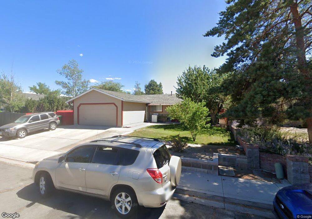
1537 Lindsay Ln Carson City, NV 89706
Northridge NeighborhoodEstimated Value: $408,996 - $431,000
3
Beds
2
Baths
1,152
Sq Ft
$365/Sq Ft
Est. Value
About This Home
This home is located at 1537 Lindsay Ln, Carson City, NV 89706 and is currently estimated at $420,999, approximately $365 per square foot. 1537 Lindsay Ln is a home located in Carson City with nearby schools including Mark Twain Elementary School, Carson Middle School, and Carson High School.
Ownership History
Date
Name
Owned For
Owner Type
Purchase Details
Closed on
Nov 26, 2007
Sold by
Sanchez Maria
Bought by
Sanchez Margarito
Current Estimated Value
Home Financials for this Owner
Home Financials are based on the most recent Mortgage that was taken out on this home.
Original Mortgage
$109,500
Interest Rate
6.36%
Mortgage Type
New Conventional
Create a Home Valuation Report for This Property
The Home Valuation Report is an in-depth analysis detailing your home's value as well as a comparison with similar homes in the area
Home Values in the Area
Average Home Value in this Area
Purchase History
| Date | Buyer | Sale Price | Title Company |
|---|---|---|---|
| Sanchez Margarito | -- | First Centennial Title Co Nv |
Source: Public Records
Mortgage History
| Date | Status | Borrower | Loan Amount |
|---|---|---|---|
| Closed | Sanchez Margarito | $109,500 |
Source: Public Records
Tax History Compared to Growth
Tax History
| Year | Tax Paid | Tax Assessment Tax Assessment Total Assessment is a certain percentage of the fair market value that is determined by local assessors to be the total taxable value of land and additions on the property. | Land | Improvement |
|---|---|---|---|---|
| 2025 | $1,926 | $73,684 | $33,250 | $40,434 |
| 2024 | $1,764 | $72,447 | $31,500 | $40,947 |
| 2023 | $1,634 | $67,201 | $28,700 | $38,501 |
| 2022 | $1,513 | $59,009 | $23,975 | $35,034 |
| 2021 | $1,469 | $54,438 | $19,950 | $34,488 |
| 2020 | $1,469 | $49,680 | $16,450 | $33,230 |
| 2019 | $1,383 | $49,449 | $16,450 | $32,999 |
| 2018 | $1,343 | $47,734 | $15,750 | $31,984 |
| 2017 | $1,304 | $45,436 | $13,475 | $31,961 |
| 2016 | $1,271 | $44,985 | $12,250 | $32,735 |
| 2015 | $1,268 | $43,174 | $10,390 | $32,784 |
| 2014 | $1,231 | $37,366 | $8,313 | $29,053 |
Source: Public Records
Map
Nearby Homes
- 1970 Hamilton Ave
- 1381 Spooner Dr
- 1654 Spooner Dr
- 2542 Ravenshorn Dr
- 2616 Carriage Crest Dr
- 2613 Pinion Pine Dr
- 2756 Table Rock Dr
- 2048 Poole Way
- 0 Research Way
- 493 Hot Springs Rd Unit 1
- 493 Hot Springs Rd Unit 24
- 1955 F St
- 1902 Peters St
- 2408 Bunch Way
- 5 Riley Cir
- 2610 E Nye Ln
- 2524 Sneddon Way
- 1772 Hogan Peak St
- 1350 Old Hot Springs Rd
- 217 Gold Hill Dr
- 1515 Lindsay Ln
- 2166 Carriage Crest Dr
- 1536 Mountain Park Dr
- 1493 Lindsay Ln
- 1514 Mountain Park Dr
- 1558 Mountain Park Dr
- 1538 Lindsay Ln
- 1492 Mountain Park Dr
- 1516 Lindsay Ln
- 2238 Carriage Crest Dr
- 1471 Lindsay Ln
- 1494 Lindsay Ln
- 1470 Mountain Park Dr
- 1472 Lindsay Ln
- 1449 Lindsay Ln
- 1555 Slide Mountain Dr
- 1533 Slide Mountain Dr
- 2262 Carriage Crest Dr
- 1448 Mountain Park Dr
- 1535 Mountain Park Dr