15370 Edison Rd Lebanon, MO 65536
Estimated Value: $407,000 - $519,000
5
Beds
4
Baths
4,998
Sq Ft
$96/Sq Ft
Est. Value
About This Home
This home is located at 15370 Edison Rd, Lebanon, MO 65536 and is currently estimated at $477,921, approximately $95 per square foot. 15370 Edison Rd is a home located in Laclede County with nearby schools including Joel E. Barber Elementary School.
Ownership History
Date
Name
Owned For
Owner Type
Purchase Details
Closed on
Jan 2, 2013
Sold by
Mack Robert L
Bought by
Bays Kevin L and Beard Betty W
Current Estimated Value
Purchase Details
Closed on
Nov 7, 2007
Sold by
Morrison Jimmie L
Bought by
Mack Robert and Mack Melissa
Home Financials for this Owner
Home Financials are based on the most recent Mortgage that was taken out on this home.
Original Mortgage
$71,000
Interest Rate
6.42%
Mortgage Type
Future Advance Clause Open End Mortgage
Create a Home Valuation Report for This Property
The Home Valuation Report is an in-depth analysis detailing your home's value as well as a comparison with similar homes in the area
Home Values in the Area
Average Home Value in this Area
Purchase History
| Date | Buyer | Sale Price | Title Company |
|---|---|---|---|
| Bays Kevin L | $215,001 | None Available | |
| Mack Robert | -- | None Available |
Source: Public Records
Mortgage History
| Date | Status | Borrower | Loan Amount |
|---|---|---|---|
| Previous Owner | Mack Robert | $71,000 |
Source: Public Records
Tax History Compared to Growth
Tax History
| Year | Tax Paid | Tax Assessment Tax Assessment Total Assessment is a certain percentage of the fair market value that is determined by local assessors to be the total taxable value of land and additions on the property. | Land | Improvement |
|---|---|---|---|---|
| 2025 | $1,997 | $51,220 | $0 | $0 |
| 2024 | $1,997 | $46,170 | $0 | $0 |
| 2023 | $1,984 | $46,170 | $0 | $0 |
| 2022 | $1,984 | $46,170 | $0 | $0 |
| 2021 | $1,562 | $37,753 | $931 | $36,822 |
| 2020 | $1,571 | $37,753 | $931 | $36,822 |
| 2019 | $1,588 | $37,640 | $820 | $36,820 |
| 2018 | $1,497 | $37,650 | $830 | $36,820 |
| 2017 | $1,511 | $37,650 | $0 | $0 |
| 2016 | $1,511 | $37,650 | $0 | $0 |
| 2015 | $1,511 | $37,650 | $0 | $0 |
| 2014 | $1,511 | $37,650 | $0 | $0 |
| 2013 | -- | $37,650 | $0 | $0 |
Source: Public Records
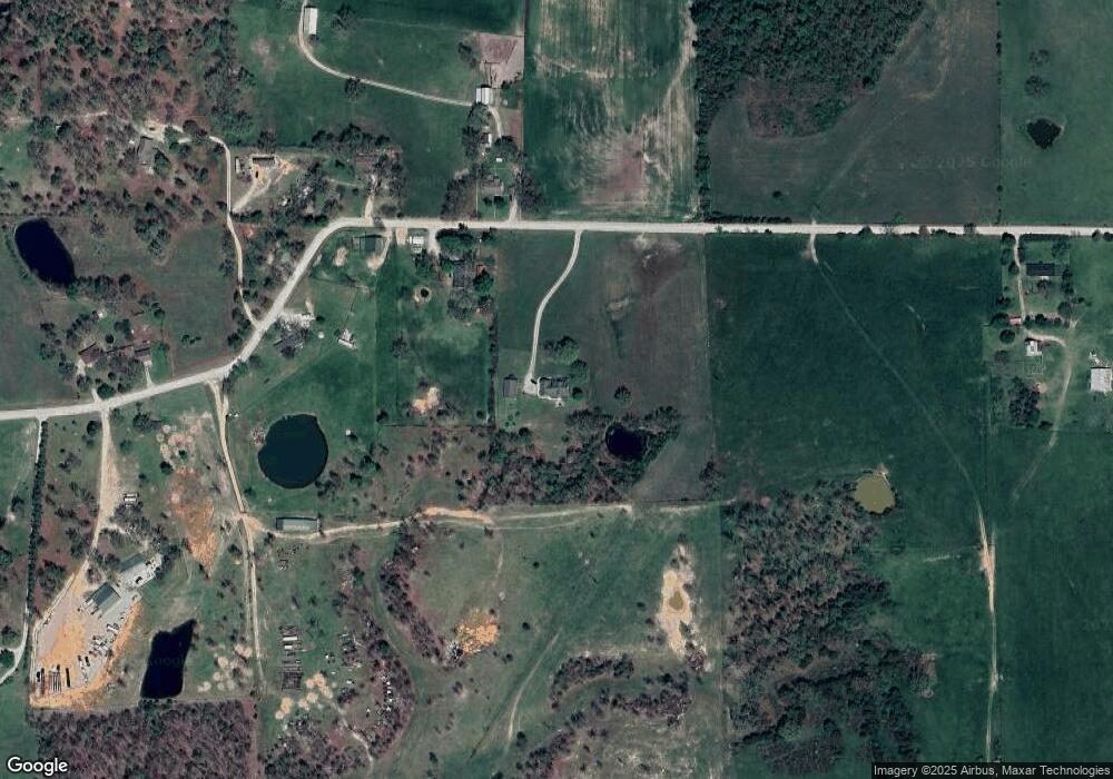
Map
Nearby Homes
- 14675 Edison Rd
- 15091 Dunklin Rd
- 0 Donovan Rd
- 18780 Nellwood Ln
- 18007 Norton Dr
- 0 County Road Oo-870
- 17996 Dove Rd
- 23350 Marvel Dr
- 23315 Marvel Dr
- 19513 Route 66
- Tract 10 Nikon Dr
- 16525 Finch Rd
- 18042 Highway 32
- 000 County Road 64-879m
- 23119 Oneida Dr
- 2301 Cranberry Ln
- 15841 Nickel Dr
- 1328 Linda Cir
- 2176 Beck Ln
- 25190 McDonald Dr
- 15269 Edison Rd
- 15205 Edison Rd
- 15351 Edison Rd
- 15351 Edison Rd
- 15320 Edison Rd
- 15123 Edison Rd
- 15161 Edison Rd
- 15704 Edison Rd
- 15118 Edison Rd
- 14964 Edison Rd
- 20185 Normandy Dr
- 14945 Edison Rd
- 15000 Edison Rd
- 0 Normandy Dr
- 000 Normandy Dr
- 15384 Highway 32
- 15384 Highway 32
- 15384 Highway 32
- 15384 Highway 32
- 15204 Highway 32