15370 N 400 W Unit 6 Collinston, UT 84306
Estimated Value: $459,000 - $703,000
--
Bed
--
Bath
--
Sq Ft
101.83
Acres
About This Home
This home is located at 15370 N 400 W Unit 6, Collinston, UT 84306 and is currently estimated at $604,825. 15370 N 400 W Unit 6 is a home located in Box Elder County with nearby schools including Lewiston School, North Cache Middle School, and White Pine Middle School.
Ownership History
Date
Name
Owned For
Owner Type
Purchase Details
Closed on
Nov 8, 2022
Sold by
Corbridge Devin Marie
Bought by
Corbridge Michael and Corbridge Devin
Current Estimated Value
Home Financials for this Owner
Home Financials are based on the most recent Mortgage that was taken out on this home.
Original Mortgage
$330,000
Outstanding Balance
$319,290
Interest Rate
6.7%
Mortgage Type
New Conventional
Estimated Equity
$285,535
Purchase Details
Closed on
Apr 21, 2021
Sold by
Corbridge Michael
Bought by
Corbridge Devin Marie and Corbridge Michael Eldon
Home Financials for this Owner
Home Financials are based on the most recent Mortgage that was taken out on this home.
Original Mortgage
$320,400
Interest Rate
3.05%
Mortgage Type
Construction
Purchase Details
Closed on
Jan 8, 2021
Sold by
Thompson Mark B and Thompson Gina
Bought by
Corbridge Michael
Create a Home Valuation Report for This Property
The Home Valuation Report is an in-depth analysis detailing your home's value as well as a comparison with similar homes in the area
Home Values in the Area
Average Home Value in this Area
Purchase History
| Date | Buyer | Sale Price | Title Company |
|---|---|---|---|
| Corbridge Michael | -- | Heritage West Title | |
| Corbridge Devin Marie | -- | Heritage West Title Be | |
| Corbridge Michael | -- | Northern Title Company |
Source: Public Records
Mortgage History
| Date | Status | Borrower | Loan Amount |
|---|---|---|---|
| Open | Corbridge Michael | $330,000 | |
| Previous Owner | Corbridge Devin Marie | $320,400 |
Source: Public Records
Tax History Compared to Growth
Tax History
| Year | Tax Paid | Tax Assessment Tax Assessment Total Assessment is a certain percentage of the fair market value that is determined by local assessors to be the total taxable value of land and additions on the property. | Land | Improvement |
|---|---|---|---|---|
| 2025 | $2,707 | $522,855 | $140,000 | $382,855 |
| 2024 | $2,385 | $522,953 | $140,000 | $382,953 |
| 2023 | $2,476 | $549,161 | $140,000 | $409,161 |
| 2022 | $600 | $70,000 | $70,000 | $0 |
| 2021 | $670 | $0 | $0 | $0 |
Source: Public Records
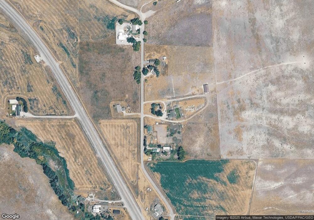
Map
Nearby Homes
- 15600 N Beaver Dam Rd
- 2390 N Valley View W Unit 2
- 2666 Valley View W
- 6950 W 2700 N Unit 7
- 6670 W 2700 N Unit 3
- 1747 N 8150 W
- 1667 N 6400 W
- 7040 W 600 N
- 1310 N 7800 W
- 3536 W 14100 N
- 13700 N 3100 W
- 876 N 75 W Unit 9
- 967 N 75 W Unit 63
- 59 W 1050 N Unit 18
- 993 N 75 W Unit 64
- 948 N 75 W Unit 11
- 42 W 850 N Unit 5
- 1044 N 75 W Unit 15
- 850 N 51 W Unit 59
- 74 W 850 N Unit 7
- 15370 N 400 W
- 15385 N 400 W
- 15400 N 400 W
- 15320 N 400 W
- 15515 N 400 W
- 15233 N 400 W
- 455 W Highway 30
- 575 W Highway 30
- 15541 N 400 W
- 15100 N 400 W
- 15020 N 400 W
- 650 W Highway 30
- 825 W Highway 30
- 850 W Highway 30
- 865 W Highway 30
- 14735 N 400 W
- 900 W Highway 30
- 955 W Highway 30
- 985 W Highway 30
- 2768 Valley View W