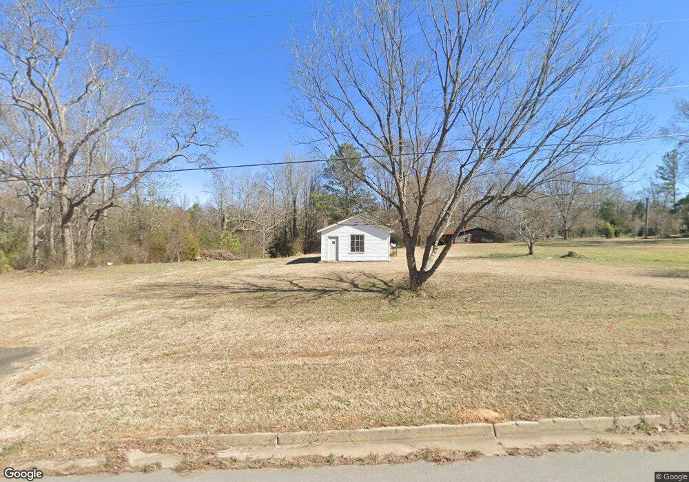
1538 Hands Mill Hwy Rock Hill, SC 29732
Estimated Value: $148,096 - $255,000
--
Bed
--
Bath
680
Sq Ft
$298/Sq Ft
Est. Value
About This Home
This home is located at 1538 Hands Mill Hwy, Rock Hill, SC 29732 and is currently estimated at $202,524, approximately $297 per square foot. 1538 Hands Mill Hwy is a home with nearby schools including Mount Gallant Elementary School, Dutchman Creek Middle School, and Northwestern High School.
Ownership History
Date
Name
Owned For
Owner Type
Purchase Details
Closed on
Nov 10, 2022
Sold by
Currence Louanne Jamieson
Bought by
Currence Louanne Jamieson and Jamieson Jeffrey Lynn
Current Estimated Value
Purchase Details
Closed on
Jan 12, 2017
Sold by
Jamieson William Miller
Bought by
Jamieson William Miller and Currence Louanne Jamieson
Home Financials for this Owner
Home Financials are based on the most recent Mortgage that was taken out on this home.
Interest Rate
4.13%
Purchase Details
Closed on
Dec 8, 2016
Sold by
Jamieson William M
Bought by
Currence Louanne J and Jamieson William M
Home Financials for this Owner
Home Financials are based on the most recent Mortgage that was taken out on this home.
Interest Rate
4.13%
Create a Home Valuation Report for This Property
The Home Valuation Report is an in-depth analysis detailing your home's value as well as a comparison with similar homes in the area
Home Values in the Area
Average Home Value in this Area
Purchase History
| Date | Buyer | Sale Price | Title Company |
|---|---|---|---|
| Currence Louanne Jamieson | -- | -- | |
| Jamieson William Miller | -- | None Available | |
| Currence Louanne J | -- | -- |
Source: Public Records
Mortgage History
| Date | Status | Borrower | Loan Amount |
|---|---|---|---|
| Previous Owner | Currence Louanne J | -- |
Source: Public Records
Tax History Compared to Growth
Tax History
| Year | Tax Paid | Tax Assessment Tax Assessment Total Assessment is a certain percentage of the fair market value that is determined by local assessors to be the total taxable value of land and additions on the property. | Land | Improvement |
|---|---|---|---|---|
| 2024 | $1,331 | $3,664 | $3,604 | $60 |
| 2023 | $1,344 | $3,664 | $3,604 | $60 |
| 2022 | $755 | $2,980 | $2,940 | $40 |
| 2021 | -- | $2,980 | $2,940 | $40 |
| 2020 | $740 | $2,980 | $0 | $0 |
| 2019 | $720 | $2,676 | $0 | $0 |
| 2018 | $708 | $2,676 | $0 | $0 |
| 2017 | $675 | $2,440 | $0 | $0 |
| 2016 | $658 | $2,676 | $0 | $0 |
| 2014 | $601 | $2,676 | $2,636 | $40 |
| 2013 | $601 | $2,540 | $2,500 | $40 |
Source: Public Records
Map
Nearby Homes
- 1767 Hands Mill Hwy
- 5022 Drake Pond Ln
- 4073 Canvas Ave
- 1230 Bowater Rd
- 2060 Covered Bridge Ct
- 5380 Woodside Dr
- 305 White Water Dr
- 2035 Covered Bridge Ct
- 5381 Woodside Dr
- 2028 Covered Bridge Ct
- 228 Tributary Dr
- 2019 Covered Bridge Ct Unit 107
- 233 Tributary Dr
- 423 Shallowford Dr
- 239 Heatherland Dr
- 1015 Hands Mill Hwy
- 1592 Covenant Place
- 479 Shallowford Dr
- 440 Shallowford Dr
- 675 Winding Branch Rd
- 1539 Hands Mill Hwy
- 1450 Hands Mill Hwy
- 1452 Hands Mill Hwy
- 1434 Hands Mill Hwy
- 1471 Hands Mill Hwy
- 1428 Hands Mill Hwy
- 1445 Hands Mill Hwy
- 1551 Hands Mill Hwy
- 1412 Hands Mill Hwy
- 1511 Allison Cir
- 1570 Hands Mill Hwy
- 1553 Allison Cir
- 1463 Allison Cir Unit 274
- 1393 Allison Cir
- 1435 Allison Cir
- 1585 Allison Cir
- 1585 Allison Cir
- 1384 Hands Mill Hwy
- 1421 Allison Cir
- 1600 Hands Mill Hwy