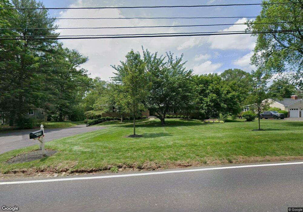
1538 Lower State Rd Doylestown, PA 18901
Estimated Value: $631,000 - $852,000
4
Beds
2
Baths
1,917
Sq Ft
$410/Sq Ft
Est. Value
About This Home
This home is located at 1538 Lower State Rd, Doylestown, PA 18901 and is currently estimated at $785,048, approximately $409 per square foot. 1538 Lower State Rd is a home located in Bucks County with nearby schools including Mill Creek Elementary School, Unami Middle School, and Central Bucks High School - South.
Ownership History
Date
Name
Owned For
Owner Type
Purchase Details
Closed on
Aug 24, 2012
Sold by
Martin Matthew S and Ryan Lisa A
Bought by
Martin Matthew S
Current Estimated Value
Home Financials for this Owner
Home Financials are based on the most recent Mortgage that was taken out on this home.
Original Mortgage
$416,000
Outstanding Balance
$286,691
Interest Rate
3.56%
Mortgage Type
New Conventional
Estimated Equity
$498,357
Purchase Details
Closed on
Oct 15, 2010
Sold by
Morris Jean S
Bought by
Martin Matthew S and Ryan Lisa A
Home Financials for this Owner
Home Financials are based on the most recent Mortgage that was taken out on this home.
Original Mortgage
$240,800
Interest Rate
3.5%
Mortgage Type
Adjustable Rate Mortgage/ARM
Create a Home Valuation Report for This Property
The Home Valuation Report is an in-depth analysis detailing your home's value as well as a comparison with similar homes in the area
Home Values in the Area
Average Home Value in this Area
Purchase History
| Date | Buyer | Sale Price | Title Company |
|---|---|---|---|
| Martin Matthew S | $188,904 | Fidelity Natl Title Ins Co | |
| Martin Matthew S | $310,000 | None Available |
Source: Public Records
Mortgage History
| Date | Status | Borrower | Loan Amount |
|---|---|---|---|
| Open | Martin Matthew S | $416,000 | |
| Closed | Martin Matthew S | $240,800 |
Source: Public Records
Tax History Compared to Growth
Tax History
| Year | Tax Paid | Tax Assessment Tax Assessment Total Assessment is a certain percentage of the fair market value that is determined by local assessors to be the total taxable value of land and additions on the property. | Land | Improvement |
|---|---|---|---|---|
| 2025 | $9,140 | $51,650 | $6,990 | $44,660 |
| 2024 | $9,140 | $51,650 | $6,990 | $44,660 |
| 2023 | $8,715 | $51,650 | $6,990 | $44,660 |
| 2022 | $8,618 | $51,650 | $6,990 | $44,660 |
| 2021 | $8,441 | $51,650 | $6,990 | $44,660 |
| 2020 | $8,402 | $51,650 | $6,990 | $44,660 |
| 2019 | $8,312 | $51,650 | $6,990 | $44,660 |
| 2018 | $8,286 | $51,650 | $6,990 | $44,660 |
| 2017 | $8,221 | $51,650 | $6,990 | $44,660 |
| 2016 | $8,170 | $51,650 | $6,990 | $44,660 |
| 2015 | -- | $51,650 | $6,990 | $44,660 |
| 2014 | -- | $51,650 | $6,990 | $44,660 |
Source: Public Records
Map
Nearby Homes
- 52 Tradesville Dr Unit 83
- Vetri Plan at Doylestown Walk
- 52 Tradesville Dr
- 2 Mill Creek Dr
- 2 Mill Creek Dr Unit 137
- 20 Woodstone Dr
- 73 Tradesville Dr
- 73 Tradesville Dr Unit 80
- 6 Mill Creek Dr
- 47 Mill Creek Dr Unit 32
- 47 Mill Creek Dr
- 1 Mill Creek Dr
- 21 Mill Creek Dr Unit 11
- 21 Mill Creek Dr
- 23 Mill Creek Dr
- 25 Mill Creek Dr
- 25 Mill Creek Dr Unit 13
- 1101 Deerfield Ln
- 242 Snapdragon St
- 803 Sweet Cherry St
- 1550 Lower State Rd
- 1526 Lower State Rd
- 1514 Lower State Rd
- 1541 Lower State Rd
- 1509 Lower State Rd
- 1560 Lower State Rd
- 1502 Lower State Rd
- 1497 Lower State Rd
- 1567 Lower State Rd
- 1553 Lower State Rd
- 1485 Lower State Rd
- 1600 Lower State Rd
- 1523 Lower State Rd
- 286 Old New Rd
- 23 Tradesville Dr
- 25 Tradesville Dr
- 27 Tradesville Dr
- 278 Old New Rd
- 21 Tradesville Dr
- 270 Old New Rd