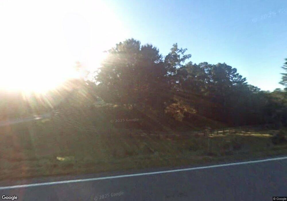
1538 Price Rd Dawsonville, GA 30534
Dawson County NeighborhoodEstimated Value: $371,440 - $632,000
--
Bed
1
Bath
1,320
Sq Ft
$335/Sq Ft
Est. Value
About This Home
This home is located at 1538 Price Rd, Dawsonville, GA 30534 and is currently estimated at $442,360, approximately $335 per square foot. 1538 Price Rd is a home located in Dawson County with nearby schools including Kilough Elementary School, Dawson County Middle School, and Dawson County Junior High School.
Ownership History
Date
Name
Owned For
Owner Type
Purchase Details
Closed on
Mar 16, 2006
Sold by
Rice Carolyn Beck
Bought by
Woody Anderson Farm Partnershi
Current Estimated Value
Purchase Details
Closed on
Aug 26, 1983
Sold by
Rice Benny Joe
Bought by
Rice Benny Joe and Rice Carolyn
Purchase Details
Closed on
Oct 10, 1969
Bought by
Rice Benny Joe
Create a Home Valuation Report for This Property
The Home Valuation Report is an in-depth analysis detailing your home's value as well as a comparison with similar homes in the area
Home Values in the Area
Average Home Value in this Area
Purchase History
| Date | Buyer | Sale Price | Title Company |
|---|---|---|---|
| Woody Anderson Farm Partnershi | $31,700 | -- | |
| Rice Benny Joe | -- | -- | |
| Rice Benny Joe | $9,000 | -- |
Source: Public Records
Tax History Compared to Growth
Tax History
| Year | Tax Paid | Tax Assessment Tax Assessment Total Assessment is a certain percentage of the fair market value that is determined by local assessors to be the total taxable value of land and additions on the property. | Land | Improvement |
|---|---|---|---|---|
| 2024 | $1,197 | $156,612 | $58,080 | $98,532 |
| 2023 | $1,197 | $152,412 | $43,480 | $108,932 |
| 2022 | $193 | $92,008 | $33,960 | $58,048 |
| 2021 | $32 | $83,208 | $33,960 | $49,248 |
| 2020 | $88 | $86,728 | $37,080 | $49,648 |
| 2019 | $8 | $79,928 | $37,080 | $42,848 |
| 2018 | $8 | $79,928 | $37,080 | $42,848 |
| 2017 | $0 | $56,668 | $24,978 | $31,690 |
| 2016 | -- | $55,499 | $24,978 | $30,521 |
| 2015 | $0 | $53,248 | $22,726 | $30,521 |
| 2014 | $0 | $50,733 | $22,726 | $28,007 |
| 2013 | -- | $46,961 | $22,726 | $24,235 |
Source: Public Records
Map
Nearby Homes
- 1619 Price Rd
- 56 Knollwood Ct
- 145 Dogwood Way
- 10 Knollwood Ct
- 824 Night Fire Dr
- 75 Stoneridge Ct
- 803 Night Fire Dr
- 771 Night Fire Dr
- 648 Dogwood Way
- 9 Fieldstone Ct E
- 88 Toto Creek Dr W
- 57 Toto Dr
- 503 Night Fire Dr
- 37 Ridgetop Ct
- 147 Blue Heron Bluff
- 1070 Dogwood Way
- 95 Ridgetop Ct
- Hampstead Plan at Creekside
- Pearson Plan at Creekside
- 1466 Price Rd
- 25 Dogwood Way
- 0 Dogwood Way
- 0 Dogwood Way Unit 8586411
- 0 Dogwood Way Unit 8505437
- 0 Dogwood Way Unit 8421967
- 0 Dogwood Way Unit 8589237
- 0 Dogwood Way Unit 7111299
- 0 Dogwood Way Unit 8790548
- 0 Dogwood Way Unit 8642998
- 0 Dogwood Way Unit 8611050
- 0 Dogwood Way Unit 3282350
- 0 Dogwood Way Unit 3070418
- 0 Dogwood Way Unit 8952616
- 0 Dogwood Way Unit 8965131
- 0 Dogwood Way Unit 8778496
- 0 Dogwood Way Unit 8804108
- 0 Dogwood Way Unit 8729978
- 0 Dogwood Way Unit 8897306
- 0 Dogwood Way Unit 3936590
