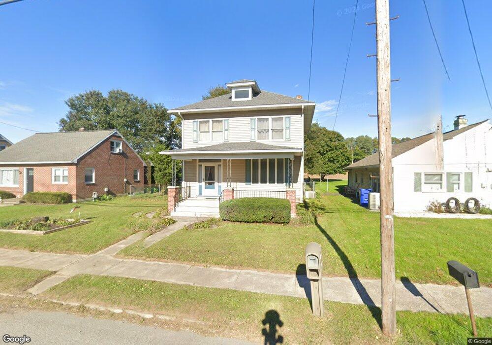
1538 Route 116 Spring Grove, PA 17362
Estimated Value: $211,000 - $252,000
3
Beds
1
Bath
1,528
Sq Ft
$151/Sq Ft
Est. Value
About This Home
This home is located at 1538 Route 116, Spring Grove, PA 17362 and is currently estimated at $230,595, approximately $150 per square foot. 1538 Route 116 is a home located in York County with nearby schools including Spring Grove Area Middle School, Spring Grove Area High School, and St Rose Of Lima School.
Ownership History
Date
Name
Owned For
Owner Type
Purchase Details
Closed on
Jun 15, 2000
Sold by
Anderson Rodney L and Anderson Theresa L
Bought by
Seaman Eric N and Seaman Angela K
Current Estimated Value
Home Financials for this Owner
Home Financials are based on the most recent Mortgage that was taken out on this home.
Original Mortgage
$79,200
Outstanding Balance
$27,224
Interest Rate
7.87%
Estimated Equity
$203,371
Purchase Details
Closed on
May 1, 1985
Bought by
Anderson Rodney L and Anderson Theresa L
Create a Home Valuation Report for This Property
The Home Valuation Report is an in-depth analysis detailing your home's value as well as a comparison with similar homes in the area
Home Values in the Area
Average Home Value in this Area
Purchase History
| Date | Buyer | Sale Price | Title Company |
|---|---|---|---|
| Seaman Eric N | $99,000 | -- | |
| Anderson Rodney L | $39,500 | -- |
Source: Public Records
Mortgage History
| Date | Status | Borrower | Loan Amount |
|---|---|---|---|
| Open | Seaman Eric N | $79,200 |
Source: Public Records
Tax History Compared to Growth
Tax History
| Year | Tax Paid | Tax Assessment Tax Assessment Total Assessment is a certain percentage of the fair market value that is determined by local assessors to be the total taxable value of land and additions on the property. | Land | Improvement |
|---|---|---|---|---|
| 2025 | $4,039 | $121,830 | $36,110 | $85,720 |
| 2024 | $3,995 | $121,830 | $36,110 | $85,720 |
| 2023 | $3,995 | $121,830 | $36,110 | $85,720 |
| 2022 | $3,995 | $121,830 | $36,110 | $85,720 |
| 2021 | $3,821 | $121,830 | $36,110 | $85,720 |
| 2020 | $3,821 | $121,830 | $36,110 | $85,720 |
| 2019 | $3,739 | $121,830 | $36,110 | $85,720 |
| 2018 | $3,689 | $121,830 | $36,110 | $85,720 |
| 2017 | $3,603 | $121,830 | $36,110 | $85,720 |
| 2016 | $0 | $121,830 | $36,110 | $85,720 |
| 2015 | -- | $121,830 | $36,110 | $85,720 |
| 2014 | -- | $121,830 | $36,110 | $85,720 |
Source: Public Records
Map
Nearby Homes
- 1245 Pinnacle Ct
- 1238 Knoll Dr
- 544 Monocacy Trail
- 304 Cape Climb
- St. Michaels Model 5 Monocacy Trail
- 168 Dolomite Dr
- 137 Mineral Dr Unit 30
- 540 Monocacy Trail
- 558 Monocacy Trail
- 335 Cape Climb
- 560 Monocacy Trail
- 562 Monocacy Trail
- 214 Hauer Terrace
- 304 Mesa Ln
- 5 Landing Place Unit 5 - MODEL
- 20 Landing Place Unit 20
- 22 Landing Place Unit 22
- 21 Landing Place Unit 21
- 7 Landing Place Unit 7
- 19 Landing Place Unit 19
- 1544 Route 116
- 1534 Route 116
- 1548 Route 116
- 1533 Route 116
- 1552 Route 116
- 1543 Route 116
- 1524 Route 116
- 1556 Route 116
- 1520 Route 116
- 1512 Route 116
- 1504 Route 116
- 1577 Route 116
- 1496 Route 116
- 1571 Route 116
- 1583 Route 116
- 1494 Route 116
- 1494 Hanover Rd
- 1044 Martin Rd
- 1595 Route 116
- 138 Nashville Blvd