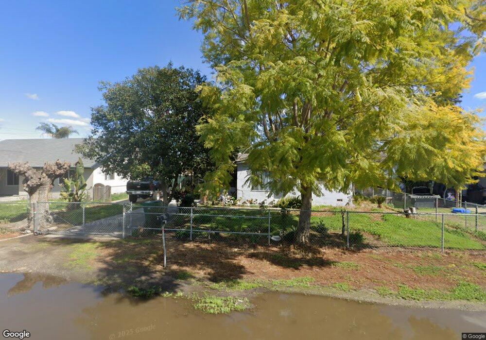
15380 Cedar Rd Porterville, CA 93257
Porterville Northwest NeighborhoodEstimated Value: $236,126 - $264,000
Studio
--
Bath
1,166
Sq Ft
$220/Sq Ft
Est. Value
About This Home
This home is located at 15380 Cedar Rd, Porterville, CA 93257 and is currently estimated at $256,282, approximately $219 per square foot. 15380 Cedar Rd is a home located in Tulare County with nearby schools including Rockford Elementary School, Monache High School, and Strathmore High School.
Ownership History
Date
Name
Owned For
Owner Type
Purchase Details
Closed on
Nov 25, 2017
Sold by
Deplatas Micaela Gonzalez
Bought by
Deplatas Micaela Gonzalez and Hernandez Isaias
Current Estimated Value
Home Financials for this Owner
Home Financials are based on the most recent Mortgage that was taken out on this home.
Original Mortgage
$75,500
Interest Rate
3.94%
Mortgage Type
New Conventional
Create a Home Valuation Report for This Property
The Home Valuation Report is an in-depth analysis detailing your home's value as well as a comparison with similar homes in the area
Home Values in the Area
Average Home Value in this Area
Purchase History
| Date | Buyer | Sale Price | Title Company |
|---|---|---|---|
| Deplatas Micaela Gonzalez | -- | None Available |
Source: Public Records
Mortgage History
| Date | Status | Borrower | Loan Amount |
|---|---|---|---|
| Closed | Deplatas Micaela Gonzalez | $75,500 |
Source: Public Records
Tax History
| Year | Tax Paid | Tax Assessment Tax Assessment Total Assessment is a certain percentage of the fair market value that is determined by local assessors to be the total taxable value of land and additions on the property. | Land | Improvement |
|---|---|---|---|---|
| 2025 | $1,016 | $107,484 | $28,602 | $78,882 |
| 2024 | $1,016 | $105,378 | $28,042 | $77,336 |
| 2023 | $1,015 | $103,313 | $27,493 | $75,820 |
| 2022 | $972 | $101,288 | $26,954 | $74,334 |
| 2021 | $959 | $99,301 | $26,425 | $72,876 |
| 2020 | $944 | $98,283 | $26,154 | $72,129 |
| 2019 | $923 | $96,356 | $25,641 | $70,715 |
| 2018 | $904 | $94,466 | $25,138 | $69,328 |
| 2017 | $887 | $92,614 | $24,645 | $67,969 |
| 2016 | $849 | $90,798 | $24,162 | $66,636 |
| 2015 | $815 | $89,434 | $23,799 | $65,635 |
| 2014 | $815 | $87,682 | $23,333 | $64,349 |
Source: Public Records
Map
Nearby Homes
- 412 N Kanai Dr
- 415 Colby Place
- 249 S Westwood St
- 434 N Jennifer Way
- 2438 W Kanai Ave
- 2611 W Theta Ave
- 2320 W Kanai Ave
- 2300 W Morton Ave Unit 160
- 2300 W Morton Ave Unit 22
- 2530 W Porter Creek Ave
- 691 Oxford St
- 1067 N Roberta Way
- 215 S Red Oak St
- 100 S Westwood St Unit 15
- 100 S Westwood St Unit 92
- 100 S Westwood St Unit 13
- 100 S Westwood St Unit Lot 105
- 100 S Westwood St Unit 110
- 100 S Westwood St Unit 78
- 100 S Westwood St Unit 103
- 15370 Cedar Rd
- 15390 Cedar Rd
- 15390 E Cedar
- 15358 Cedar Rd
- 15348 Cedar Rd
- 15379 Cedar Rd
- 15410 Cedar Rd
- 15371 Cedar Rd
- 15391 Cedar Rd
- 15357 Cedar Rd
- 15338 Cedar Rd
- 15422 Cedar Rd
- 15345 Cedar Rd
- 15413 Cedar Rd
- 15326 Cedar Rd
- 15421 Cedar Rd
- 15434 Cedar Rd
- 15382 Magnolia Rd
- 15392 Magnolia Rd
- 15372 Magnolia Rd
Your Personal Tour Guide
Ask me questions while you tour the home.