15383 S Wave Rd Mulino, OR 97042
Estimated Value: $561,000 - $641,000
2
Beds
2
Baths
1,150
Sq Ft
$523/Sq Ft
Est. Value
About This Home
This home is located at 15383 S Wave Rd, Mulino, OR 97042 and is currently estimated at $601,339, approximately $522 per square foot. 15383 S Wave Rd is a home located in Clackamas County.
Ownership History
Date
Name
Owned For
Owner Type
Purchase Details
Closed on
May 31, 2016
Sold by
Reasoner Jeffrey A and Reasoner Cindy S
Bought by
Newman Camron Edwin and Newman Christina Mary
Current Estimated Value
Home Financials for this Owner
Home Financials are based on the most recent Mortgage that was taken out on this home.
Original Mortgage
$233,600
Outstanding Balance
$191,556
Interest Rate
4.62%
Mortgage Type
Adjustable Rate Mortgage/ARM
Estimated Equity
$409,783
Purchase Details
Closed on
Apr 11, 2008
Sold by
Miller Gary
Bought by
Reasoner Jeffrey A and Reasoner Cindy S
Home Financials for this Owner
Home Financials are based on the most recent Mortgage that was taken out on this home.
Original Mortgage
$129,750
Interest Rate
6.22%
Mortgage Type
Purchase Money Mortgage
Purchase Details
Closed on
Apr 13, 2007
Sold by
Winfrey Charlotte L
Bought by
Miller Gary
Create a Home Valuation Report for This Property
The Home Valuation Report is an in-depth analysis detailing your home's value as well as a comparison with similar homes in the area
Home Values in the Area
Average Home Value in this Area
Purchase History
| Date | Buyer | Sale Price | Title Company |
|---|---|---|---|
| Newman Camron Edwin | $174,000 | First American | |
| Reasoner Jeffrey A | $173,000 | Transnation Title Agency Or | |
| Miller Gary | $150,000 | Chicago Title Insurance Co |
Source: Public Records
Mortgage History
| Date | Status | Borrower | Loan Amount |
|---|---|---|---|
| Open | Newman Camron Edwin | $233,600 | |
| Previous Owner | Reasoner Jeffrey A | $129,750 |
Source: Public Records
Tax History Compared to Growth
Tax History
| Year | Tax Paid | Tax Assessment Tax Assessment Total Assessment is a certain percentage of the fair market value that is determined by local assessors to be the total taxable value of land and additions on the property. | Land | Improvement |
|---|---|---|---|---|
| 2025 | $3,449 | $249,183 | -- | -- |
| 2024 | $3,330 | $241,926 | -- | -- |
| 2023 | $3,330 | $234,880 | $0 | $0 |
| 2022 | $2,791 | $228,039 | $0 | $0 |
| 2021 | $2,667 | $221,398 | $0 | $0 |
| 2020 | $2,595 | $214,950 | $0 | $0 |
| 2019 | $2,522 | $208,690 | $0 | $0 |
| 2018 | $2,454 | $202,612 | $0 | $0 |
| 2017 | $2,321 | $196,711 | $0 | $0 |
| 2016 | $1,234 | $105,486 | $0 | $0 |
| 2015 | $1,201 | $102,414 | $0 | $0 |
| 2014 | $1,164 | $99,431 | $0 | $0 |
Source: Public Records
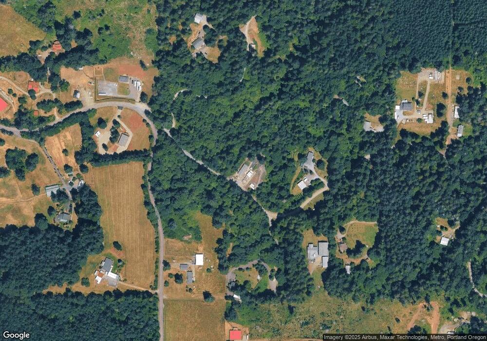
Map
Nearby Homes
- 15693 S Hidden Rd
- 26250 S Milk Creek Cir
- 14980 S Buckner Creek Rd
- 16428 S Buckner Creek Rd
- 0000 S Buckner Creek Rd
- 13920 S Lucia Ln
- 15441 S Union Mills Rd
- 14001 S Union Mills Rd
- 28381 S Salo Rd
- 13511 S Freeman Rd
- 26740 S Fish Rd
- 28502 S Highway 213
- 28502 Oregon 213
- 26684 S Fish Rd
- 29333 S Marshall Rd
- 15678 S Spangler Rd
- 24450 S Highway 213
- 26394 S Gard Rd
- 23501 S Beatie Rd
- 12192 S Mulino Rd
- 15405 S Wave Rd
- 15231 S Howards Mill Rd
- 15424 S Wave Rd
- 15398 S Wave Rd
- 15460 S Wave Rd
- 15475 S Wave Rd
- 26727 S Burns Rd
- 15211 S Howards Mill Rd
- 15202 S Howards Mill Rd
- 15232 S Howards Mill Rd
- 15505 S Wave Rd
- 26621 S Burns Rd
- 15151 S Howards Mill Rd
- 15100 S Howards Mill Rd
- 15610 S Wave Rd
- 15575 S Wave Rd
- 15303 S Howards Mill Rd
- 15125 S Howards Mill Rd
- 0 S Wave Rd
- 26585 S Burns Rd