1539 Airport Rhodhiss Rd Hickory, NC 28601
Estimated Value: $279,000 - $318,000
4
Beds
3
Baths
2,034
Sq Ft
$147/Sq Ft
Est. Value
About This Home
This home is located at 1539 Airport Rhodhiss Rd, Hickory, NC 28601 and is currently estimated at $298,500, approximately $146 per square foot. 1539 Airport Rhodhiss Rd is a home located in Burke County with nearby schools including Ray Childers Elementary School, East Burke Middle School, and East Burke High School.
Ownership History
Date
Name
Owned For
Owner Type
Purchase Details
Closed on
May 9, 2014
Sold by
Wilson Christopher Ellis
Bought by
Wilson Christopher Ellis and Wilson Melissa C
Current Estimated Value
Home Financials for this Owner
Home Financials are based on the most recent Mortgage that was taken out on this home.
Original Mortgage
$197,000
Outstanding Balance
$150,361
Interest Rate
4.37%
Mortgage Type
New Conventional
Estimated Equity
$148,139
Purchase Details
Closed on
Sep 5, 2007
Sold by
Wilson Ellis Dean
Bought by
Wilson Christopher Ellis
Create a Home Valuation Report for This Property
The Home Valuation Report is an in-depth analysis detailing your home's value as well as a comparison with similar homes in the area
Home Values in the Area
Average Home Value in this Area
Purchase History
| Date | Buyer | Sale Price | Title Company |
|---|---|---|---|
| Wilson Christopher Ellis | -- | None Available | |
| Wilson Christopher Ellis | -- | None Available |
Source: Public Records
Mortgage History
| Date | Status | Borrower | Loan Amount |
|---|---|---|---|
| Open | Wilson Christopher Ellis | $197,000 |
Source: Public Records
Tax History Compared to Growth
Tax History
| Year | Tax Paid | Tax Assessment Tax Assessment Total Assessment is a certain percentage of the fair market value that is determined by local assessors to be the total taxable value of land and additions on the property. | Land | Improvement |
|---|---|---|---|---|
| 2025 | $2,158 | $306,049 | $27,592 | $278,457 |
| 2024 | $2,169 | $306,049 | $27,592 | $278,457 |
| 2023 | $2,169 | $306,049 | $27,592 | $278,457 |
| 2022 | $2,009 | $236,482 | $27,592 | $208,890 |
| 2021 | $2,003 | $236,482 | $27,592 | $208,890 |
| 2020 | $1,999 | $236,482 | $27,592 | $208,890 |
| 2019 | $1,999 | $236,482 | $27,592 | $208,890 |
| 2018 | $1,971 | $233,063 | $27,592 | $205,471 |
| 2017 | $1,969 | $233,063 | $27,592 | $205,471 |
| 2016 | $1,930 | $233,063 | $27,592 | $205,471 |
| 2015 | $1,923 | $232,652 | $27,592 | $205,060 |
| 2014 | $1,922 | $232,652 | $27,592 | $205,060 |
| 2013 | $1,922 | $232,652 | $27,592 | $205,060 |
Source: Public Records
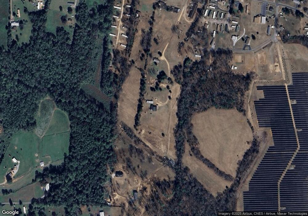
Map
Nearby Homes
- 0 Liberty Church Rd
- 2764 Cliftwood Cir
- 2066 Lake Acres Dr
- 676 Cape Hickory Rd Unit 20
- 106 Dogwood Dr
- 108 Dogwood Dr
- 2488 Harvest Dr Unit 14 and 12
- 2484 Harvest Dr Unit 15
- 2480 Harvest Dr Unit 16
- 2359 Settlemyre Lail St Unit 33
- 137 River Ridge Ln
- 2478 Harvest Dr Unit 17
- 0 R and Cir S Unit CAR3835569
- 204 Shelby St
- 209 Catawba Ave
- 103 Burch St
- 1976 Foxridge Dr
- 0 Ridge Dr Unit CAR3835553
- 9459 Westridge Dr
- 9165 Cherokee Dr
- 1537 Airport Rhodhiss Rd
- 9037 Bowman Lowman Ave
- 9041 Bowman Lowman Ave
- 1545 Airport Rhodhiss Rd Unit 1547
- 1559 Airport Rhodhiss Rd
- 9031 Bowman Lowman Ave
- 1629 Oak Leaf Dr NW
- 1629 Oak Leaf Dr NW Unit 19
- 1519 Airport Rhodhiss Rd
- 1525 Airport Rhodhiss Rd
- 1575 Airport Rhodhiss Rd Unit 1579
- 1515 Airport Rhodhiss Rd
- 8963 Bowman Lowman Ave
- 1581 Airport Rhodhiss Rd
- 1491 Airport Rhodhiss Rd
- 9060 Bowman Lowman Ave
- 9036 Bowman Lowman Ave
- 9066 Bowman Lowman Ave
- 9040 Bowman Lowman Ave
- 1597 Airport Rhodhiss Rd