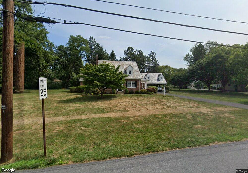
1539 Hillcrest Ave Lancaster, PA 17601
Eden NeighborhoodEstimated Value: $494,170 - $540,000
4
Beds
2
Baths
2,092
Sq Ft
$244/Sq Ft
Est. Value
About This Home
This home is located at 1539 Hillcrest Ave, Lancaster, PA 17601 and is currently estimated at $509,793, approximately $243 per square foot. 1539 Hillcrest Ave is a home located in Lancaster County with nearby schools including Schaeffer Elementary School, Landis Run Intermediate School, and Manheim Township Middle School.
Ownership History
Date
Name
Owned For
Owner Type
Purchase Details
Closed on
May 31, 2022
Sold by
Sanders Maryella E
Bought by
Huston Emily E
Current Estimated Value
Home Financials for this Owner
Home Financials are based on the most recent Mortgage that was taken out on this home.
Original Mortgage
$170,000
Outstanding Balance
$161,514
Interest Rate
5.1%
Mortgage Type
New Conventional
Estimated Equity
$348,279
Create a Home Valuation Report for This Property
The Home Valuation Report is an in-depth analysis detailing your home's value as well as a comparison with similar homes in the area
Home Values in the Area
Average Home Value in this Area
Purchase History
| Date | Buyer | Sale Price | Title Company |
|---|---|---|---|
| Huston Emily E | $400,000 | None Listed On Document |
Source: Public Records
Mortgage History
| Date | Status | Borrower | Loan Amount |
|---|---|---|---|
| Open | Huston Emily E | $170,000 |
Source: Public Records
Tax History Compared to Growth
Tax History
| Year | Tax Paid | Tax Assessment Tax Assessment Total Assessment is a certain percentage of the fair market value that is determined by local assessors to be the total taxable value of land and additions on the property. | Land | Improvement |
|---|---|---|---|---|
| 2025 | $6,472 | $299,100 | $110,800 | $188,300 |
| 2024 | $6,472 | $299,100 | $110,800 | $188,300 |
| 2023 | $6,303 | $299,100 | $110,800 | $188,300 |
| 2022 | $6,197 | $299,100 | $110,800 | $188,300 |
| 2021 | $6,058 | $299,100 | $110,800 | $188,300 |
| 2020 | $6,058 | $299,100 | $110,800 | $188,300 |
| 2019 | $6,000 | $299,100 | $110,800 | $188,300 |
| 2018 | $4,412 | $299,100 | $110,800 | $188,300 |
| 2017 | $5,415 | $212,800 | $61,900 | $150,900 |
| 2016 | $5,415 | $212,800 | $61,900 | $150,900 |
| 2015 | $1,361 | $212,800 | $61,900 | $150,900 |
| 2014 | $3,859 | $212,800 | $61,900 | $150,900 |
Source: Public Records
Map
Nearby Homes
- 1550 Euclid Dr
- 1914 Pickering Trail
- 1922 Pickering Trail
- 1915 Pickering Trail
- 1923 Pickering Trail
- 1150 Groff Ln
- 1919 Pickering Trail
- 1935 New Holland Pike
- 1100 Bluegrass Rd Unit NOTTINGHAM
- 1100 Bluegrass Rd Unit HAWTHORNE
- 1100 Bluegrass Rd Unit DEVONSHIRE
- 1100 Bluegrass Rd Unit AUGUSTA
- 1100 Bluegrass Rd Unit SAVANNAH
- 1100 Bluegrass Rd Unit COVINGTON
- 1100 Bluegrass Rd Unit ARCADIA
- 200 Hershey Ln Unit CRESTWOOD
- 200 Hershey Ln Unit CEDARBROOK
- 1231 Hershey Ln
- Cedarbrook Plan at Somerford at Stoner Farm - Carriage Homes
- Crestwood Plan at Somerford at Stoner Farm - Carriage Homes
- 1527 Hillcrest Ave
- 1549 Hillcrest Ave
- 1523 Hillcrest Ave
- 1555 Hillcrest Ave
- 11 William Flynn Cir Unit 3
- 11 William Flynn Cir
- 1526 Hillcrest Ave
- 1563 Hillcrest Ave
- 1532 Hillcrest Ave
- 1568 Linden Ave
- 1538 Hillcrest Ave
- 1558 Linden Ave
- 1544 Hillcrest Ave
- 1578 Linden Ave
- 1540 Eden Rd
- 1593 Hollywood Dr
- 1515 Hillcrest Ave
- 0 Mission Rd Unit 149 1002726697
- 0 Mission Rd Unit 212634
- 1568 Mission Rd