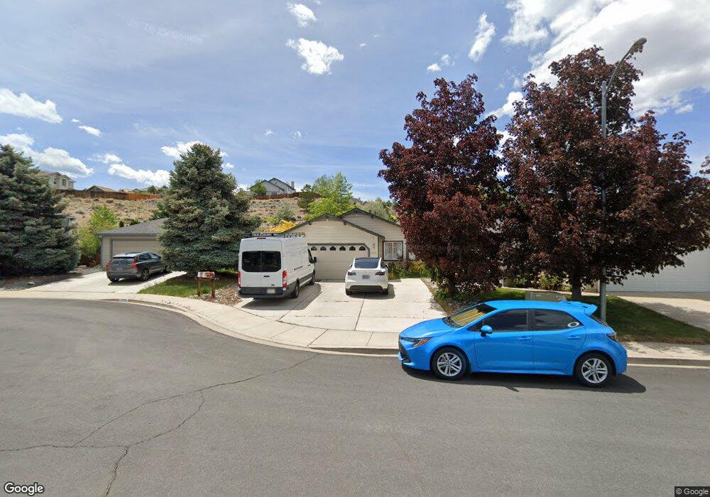
1539 Pries Ct Reno, NV 89523
Mae Anne Avenue NeighborhoodEstimated Value: $532,000 - $549,837
3
Beds
2
Baths
1,414
Sq Ft
$383/Sq Ft
Est. Value
About This Home
This home is located at 1539 Pries Ct, Reno, NV 89523 and is currently estimated at $540,959, approximately $382 per square foot. 1539 Pries Ct is a home located in Washoe County with nearby schools including Sarah Winnemucca Elementary School, B D Billinghurst Middle School, and Robert McQueen High School.
Ownership History
Date
Name
Owned For
Owner Type
Purchase Details
Closed on
Apr 1, 2020
Sold by
Lance Ronald Dean
Bought by
Lance Ronald Dean and Lance Stacey M
Current Estimated Value
Home Financials for this Owner
Home Financials are based on the most recent Mortgage that was taken out on this home.
Original Mortgage
$105,000
Outstanding Balance
$73,077
Interest Rate
3.4%
Mortgage Type
New Conventional
Estimated Equity
$467,882
Purchase Details
Closed on
Aug 7, 1998
Sold by
Steve C Hamilton Inc
Bought by
Stewart Donald Arthur and Stewart Margaret J
Home Financials for this Owner
Home Financials are based on the most recent Mortgage that was taken out on this home.
Original Mortgage
$53,950
Interest Rate
6.93%
Create a Home Valuation Report for This Property
The Home Valuation Report is an in-depth analysis detailing your home's value as well as a comparison with similar homes in the area
Home Values in the Area
Average Home Value in this Area
Purchase History
| Date | Buyer | Sale Price | Title Company |
|---|---|---|---|
| Lance Ronald Dean | -- | Acme Title And Escrow Svcs | |
| Stewart Donald Arthur | $151,000 | Western Title Company Inc |
Source: Public Records
Mortgage History
| Date | Status | Borrower | Loan Amount |
|---|---|---|---|
| Open | Lance Ronald Dean | $105,000 | |
| Closed | Stewart Donald Arthur | $53,950 |
Source: Public Records
Tax History Compared to Growth
Tax History
| Year | Tax Paid | Tax Assessment Tax Assessment Total Assessment is a certain percentage of the fair market value that is determined by local assessors to be the total taxable value of land and additions on the property. | Land | Improvement |
|---|---|---|---|---|
| 2025 | $2,438 | $97,010 | $42,028 | $54,982 |
| 2024 | $2,438 | $94,695 | $39,235 | $55,460 |
| 2023 | $1,804 | $94,281 | $41,662 | $52,619 |
| 2022 | $2,412 | $78,252 | $34,314 | $43,938 |
| 2021 | $2,233 | $67,233 | $23,441 | $43,792 |
| 2020 | $2,142 | $67,626 | $24,505 | $43,121 |
| 2019 | $2,080 | $64,174 | $22,411 | $41,763 |
| 2018 | $2,019 | $57,331 | $16,359 | $40,972 |
| 2017 | $1,960 | $57,957 | $16,868 | $41,089 |
| 2016 | $1,911 | $57,715 | $15,680 | $42,035 |
| 2015 | $479 | $55,697 | $13,685 | $42,012 |
| 2014 | $1,852 | $51,569 | $11,060 | $40,509 |
| 2013 | -- | $49,030 | $9,065 | $39,965 |
Source: Public Records
Map
Nearby Homes
- 1705 Sierra Highlands Dr
- 3271 Heights Dr
- 0 Simons Dr
- 3505 Everett Dr
- 3525 Zion Ln
- 1708 Kristin Way
- 3465 Yosemite Place
- 1659 Shadow Park Dr
- 3570 W 7th St
- 1592 Reno View Dr
- 1689 Shadow Park Dr
- 5721 Royal Vista Way
- 1500 Backer Way
- 5849 Morgan Horse St
- 1627 Prancer St Unit Lot 50
- 1627 Prancer St
- 5830 Blue Horizon Dr
- 1615 Prancer St Unit Lot 53
- Walker Plan at Monarch
- Humboldt Plan at Monarch