15393 High Pointe Cir Unit 67 Middlefield, OH 44062
Estimated Value: $219,000 - $243,000
3
Beds
2
Baths
1,339
Sq Ft
$174/Sq Ft
Est. Value
About This Home
This home is located at 15393 High Pointe Cir Unit 67, Middlefield, OH 44062 and is currently estimated at $232,460, approximately $173 per square foot. 15393 High Pointe Cir Unit 67 is a home located in Geauga County with nearby schools including Jordak Elementary School, Cardinal Middle School, and Cardinal High School.
Ownership History
Date
Name
Owned For
Owner Type
Purchase Details
Closed on
Nov 6, 2013
Sold by
Bissler Michelle M and Bissler Michasel W
Bought by
Keystone Properties Real Estate Llc
Current Estimated Value
Purchase Details
Closed on
Aug 22, 2005
Sold by
High Pointe Of Geauga Development Corp
Bought by
Bissler Michael W and Bissler Michelle M
Create a Home Valuation Report for This Property
The Home Valuation Report is an in-depth analysis detailing your home's value as well as a comparison with similar homes in the area
Home Values in the Area
Average Home Value in this Area
Purchase History
| Date | Buyer | Sale Price | Title Company |
|---|---|---|---|
| Keystone Properties Real Estate Llc | -- | Attorney | |
| Bissler Michael W | $159,000 | Chicago |
Source: Public Records
Tax History Compared to Growth
Tax History
| Year | Tax Paid | Tax Assessment Tax Assessment Total Assessment is a certain percentage of the fair market value that is determined by local assessors to be the total taxable value of land and additions on the property. | Land | Improvement |
|---|---|---|---|---|
| 2024 | $2,321 | $59,190 | $8,750 | $50,440 |
| 2023 | $2,321 | $59,190 | $8,750 | $50,440 |
| 2022 | $2,135 | $44,940 | $8,750 | $36,190 |
| 2021 | $2,139 | $44,940 | $8,750 | $36,190 |
| 2020 | $2,209 | $44,940 | $8,750 | $36,190 |
| 2019 | $2,390 | $44,940 | $8,750 | $36,190 |
| 2018 | $2,389 | $44,940 | $8,750 | $36,190 |
| 2017 | $2,390 | $44,940 | $8,750 | $36,190 |
| 2016 | $2,181 | $46,840 | $14,880 | $31,960 |
| 2015 | $1,953 | $46,840 | $14,880 | $31,960 |
| 2014 | $1,953 | $46,840 | $14,880 | $31,960 |
| 2013 | $1,933 | $46,840 | $14,880 | $31,960 |
Source: Public Records
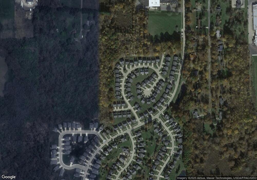
Map
Nearby Homes
- 15142 Sawgrass Ln
- 15660 Georgia Rd
- 14706 Steeplechase Dr
- 16298 Weathervane Dr
- 15720 Jug Rd
- 15791 Madison Rd
- 14752 Evergreen Dr
- 14028 Goodwin St
- 13829 Carlton St
- 13888 Goodwin St
- 16310 Madison Rd
- 14674 Elmar Blvd
- V/L Rapids Rd
- 13565 Colony Ln
- 13137 Old State Rd
- 13130 Kinsman Rd
- 13105 Madison Rd
- 16765 Old State Rd
- 12758 Kinsman Rd
- 13905 Aquilla Rd
- 15395 High Pointe Cir Unit 68
- 15391 High Pointe Cir Unit 66
- 15389 High Pointe Cir Unit 65
- 15397 High Pointe Cir Unit 69
- 15394 High Pointe Cir
- 15062 Primrose Ln Unit 33
- 15064 Primrose Ln
- 15387 High Pointe Cir
- 15392 High Pointe Cir Unit 53
- 15396 High Pointe Cir
- 15066 Primrose Ln
- 15390 High Pointe Cir Unit 54
- V/L High Pointe Cir
- 15411 High Pointe Cir
- 15398 High Pointe Cir Unit 50
- 0 High Pointe Cir Unit 4371253
- 15374 Penny Ln Unit 55
- 15060 Primrose Ln
- 15400 High Pointe Cir
- 15372 Penny Ln Unit 56