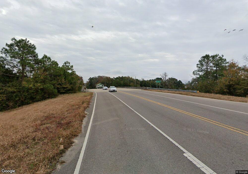
15395 Mcgraw Blvd Coden, AL 36523
Heron Bay NeighborhoodEstimated Value: $110,788 - $222,000
Studio
2
Baths
905
Sq Ft
$168/Sq Ft
Est. Value
About This Home
This home is located at 15395 Mcgraw Blvd, Coden, AL 36523 and is currently estimated at $152,197, approximately $168 per square foot. 15395 Mcgraw Blvd is a home located in Mobile County with nearby schools including Anna F. Booth Elementary School, Alba Middle School, and Alma Bryant High School.
Ownership History
Date
Name
Owned For
Owner Type
Purchase Details
Closed on
Nov 14, 2016
Sold by
Havard Kenneth
Bought by
Port City Enterprises Inc
Current Estimated Value
Purchase Details
Closed on
Nov 10, 2016
Sold by
Port City Enterprises Inc
Bought by
Watson Starr Marie
Purchase Details
Closed on
Sep 24, 2013
Sold by
Port City Enterprises Inc
Bought by
Havard Kenneth
Purchase Details
Closed on
Jan 25, 2005
Sold by
Owens Joda W and Owens Patricia Elizabeth Rieman
Bought by
Port City Enterprises Inc
Create a Home Valuation Report for This Property
The Home Valuation Report is an in-depth analysis detailing your home's value as well as a comparison with similar homes in the area
Home Values in the Area
Average Home Value in this Area
Purchase History
| Date | Buyer | Sale Price | Title Company |
|---|---|---|---|
| Port City Enterprises Inc | -- | None Available | |
| Watson Starr Marie | $52,000 | None Available | |
| Havard Kenneth | $64,500 | None Available | |
| Port City Enterprises Inc | $79,311 | -- |
Source: Public Records
Tax History
| Year | Tax Paid | Tax Assessment Tax Assessment Total Assessment is a certain percentage of the fair market value that is determined by local assessors to be the total taxable value of land and additions on the property. | Land | Improvement |
|---|---|---|---|---|
| 2025 | $397 | $8,820 | $5,600 | $3,220 |
| 2024 | $397 | $8,870 | $5,650 | $3,220 |
| 2023 | $274 | $7,030 | $4,000 | $3,030 |
| 2022 | $274 | $7,030 | $4,000 | $3,030 |
| 2021 | $245 | $6,430 | $3,400 | $3,030 |
| 2020 | $245 | $6,430 | $3,400 | $3,030 |
| 2019 | $261 | $6,760 | $0 | $0 |
| 2018 | $614 | $12,660 | $0 | $0 |
| 2017 | $275 | $6,340 | $0 | $0 |
| 2016 | $223 | $5,980 | $0 | $0 |
| 2013 | $670 | $13,240 | $0 | $0 |
Source: Public Records
Map
Nearby Homes
- 15479 Green Dr
- 5250 Lossing Rd Unit 2
- 0 Johnson Rd
- 0 Bellingrath Rd Unit 17356630
- 16045 Williams St Unit 1
- 16045 Williams St
- 0 Highway 188 Unit 7708364
- 0 Highway 188 Unit 7087950
- 0 Highway 188 Unit 7087940
- 0 Washington Ave
- 0 Bayou Pines Rd
- 0 Bayou Shores Dr Unit 389041
- 0 Bayou Shores Dr Unit 7496968
- 4737 Bayou Shores Dr
- 0 Michigan Ave Unit 7667677
- 0 Michigan Ave Unit 7667695
- 0 Michigan Ave Unit 16-20 376275
- 0 Michigan Ave Unit 7546720
- 0 Michigan Ave Unit 7693042
- 14165 River Oaks Dr
- 15385 Mcgraw Blvd Unit 111
- 15373 Mcgraw Blvd Unit 110
- 15420 Morris Dr
- 15390 Morris Dr
- 15361 Mcgraw Blvd
- 15421 Morris Dr
- 15411 Morris Dr
- 15431 Morris Dr
- 4971 Morris Dr W
- 15283 Morris Dr Unit 42
- Lot 75 Morris Dr
- 5010 Morris Dr
- 15283 Morris Dr
- 15314 Morris Dr
- 0 Morris Dr Unit 7510352
- 0 Morris Dr Unit 372830
- 0 Morris Dr Unit 7033498
- 0 Morris Dr Unit 82 0526178
- 0 Morris Dr Unit 88 0516349
- 0 Morris Dr Unit 82 0211918
