15395 S Cliff Rd Yucca, AZ 86438
Estimated Value: $437,000 - $1,799,000
3
Beds
2
Baths
1,761
Sq Ft
$756/Sq Ft
Est. Value
About This Home
This home is located at 15395 S Cliff Rd, Yucca, AZ 86438 and is currently estimated at $1,330,655, approximately $755 per square foot. 15395 S Cliff Rd is a home located in Mohave County with nearby schools including Yucca Elementary School.
Ownership History
Date
Name
Owned For
Owner Type
Purchase Details
Closed on
Feb 16, 2018
Sold by
Thompson Daniel Patrick
Bought by
Thompson Daniel Patrick and Coombe Jennifer Ida
Current Estimated Value
Purchase Details
Closed on
May 1, 2008
Sold by
Thompson Cheryl
Bought by
Thompson Daniel P
Purchase Details
Closed on
Dec 29, 2003
Sold by
First American Title Insurance Co
Bought by
Thompson Daniel P and Thompson Cheryl
Create a Home Valuation Report for This Property
The Home Valuation Report is an in-depth analysis detailing your home's value as well as a comparison with similar homes in the area
Home Values in the Area
Average Home Value in this Area
Purchase History
| Date | Buyer | Sale Price | Title Company |
|---|---|---|---|
| Thompson Daniel Patrick | -- | None Available | |
| Thompson Daniel P | -- | None Available | |
| Thompson Daniel P | -- | First American Title Ins Co |
Source: Public Records
Tax History Compared to Growth
Tax History
| Year | Tax Paid | Tax Assessment Tax Assessment Total Assessment is a certain percentage of the fair market value that is determined by local assessors to be the total taxable value of land and additions on the property. | Land | Improvement |
|---|---|---|---|---|
| 2026 | -- | -- | -- | -- |
| 2025 | $2,256 | $41,949 | $0 | $0 |
| 2024 | $2,256 | $45,493 | $0 | $0 |
| 2023 | $2,256 | $33,449 | $0 | $0 |
| 2022 | $1,951 | $31,669 | $0 | $0 |
| 2021 | $2,019 | $25,881 | $0 | $0 |
| 2019 | $1,821 | $22,234 | $0 | $0 |
| 2018 | $1,752 | $21,115 | $0 | $0 |
| 2017 | $1,621 | $15,734 | $0 | $0 |
| 2016 | $1,624 | $14,705 | $0 | $0 |
| 2015 | $1,537 | $13,210 | $0 | $0 |
Source: Public Records
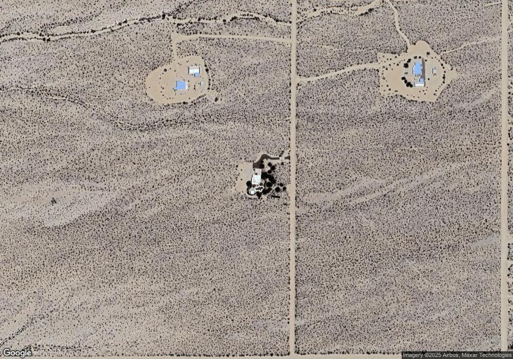
Map
Nearby Homes
- 9.61 Mohave Rd
- Lot 3271 S Arlington Rd
- 3271 S Arlington Rd Unit 3271
- 15255 S Cameron
- 165/166 Cherry
- 20718010 W Santa Fe Ranch Rd
- 11626 Yucca Rd
- 000 W Cielo Rd
- Lot 205 S Cortaro Rd
- 20724052a Desert Skies 2
- 18-B S Rainbow Rd
- 15333 S Doc Holliday Rd
- Parc 3073 Stagecoach Trail
- 14445 Ashurst Rd
- 300 Mary Dr Unit 3055
- Mohave Arizona
- 14773 Akchin Rd
- 14355 Anegam Rd
- W Marys Dr
- 3079 S Golden Spike Rd
- 15335 S Clife Rd
- 15404 S Clife Rd
- Lot 11 S Cliff Rd
- 15330 S Clife Rd
- 0 S Pecos Bill Unit 927870
- 4 lots S Carmen Cameron Rd
- 8.4 Acres Mohave Rd
- 4 Lots Mohave Rd
- 4 Parcels Mohave Rd
- A7 Mohave Rd
- 000 Mohave Rd
- 3770 Chemehev Rd
- 15368 S Carmen Rd
- 15368 S Carmen Rd
- 15454 S Carmen Rd
- Lot 24 S Carmen Rd
- 15468 S Carmen Rd
- 15468 S Carmen Rd
- 15468 Mohave Rd
- 15355 Joshua Rd