154 Baptist Corner Rd Ashfield, MA 01330
Ashfield NeighborhoodEstimated Value: $369,000 - $586,000
4
Beds
1
Bath
1,621
Sq Ft
$264/Sq Ft
Est. Value
About This Home
This home is located at 154 Baptist Corner Rd, Ashfield, MA 01330 and is currently estimated at $427,574, approximately $263 per square foot. 154 Baptist Corner Rd is a home located in Franklin County with nearby schools including Mohawk Trail Regional High School.
Ownership History
Date
Name
Owned For
Owner Type
Purchase Details
Closed on
Nov 5, 2024
Sold by
Dickinson John C
Bought by
Dickinson John C and Dickinson Sally J
Current Estimated Value
Purchase Details
Closed on
Sep 15, 1995
Sold by
Doneilo Phyllis M
Bought by
Letendre Jeffrey R
Home Financials for this Owner
Home Financials are based on the most recent Mortgage that was taken out on this home.
Original Mortgage
$121,000
Interest Rate
7.81%
Mortgage Type
Purchase Money Mortgage
Create a Home Valuation Report for This Property
The Home Valuation Report is an in-depth analysis detailing your home's value as well as a comparison with similar homes in the area
Home Values in the Area
Average Home Value in this Area
Purchase History
| Date | Buyer | Sale Price | Title Company |
|---|---|---|---|
| Dickinson John C | -- | None Available | |
| Dickinson John C | -- | None Available | |
| Letendre Jeffrey R | $152,000 | -- | |
| Letendre Jeffrey R | $152,000 | -- |
Source: Public Records
Mortgage History
| Date | Status | Borrower | Loan Amount |
|---|---|---|---|
| Previous Owner | Letendre Jeffrey R | $121,000 |
Source: Public Records
Tax History
| Year | Tax Paid | Tax Assessment Tax Assessment Total Assessment is a certain percentage of the fair market value that is determined by local assessors to be the total taxable value of land and additions on the property. | Land | Improvement |
|---|---|---|---|---|
| 2025 | $4,475 | $332,500 | $88,500 | $244,000 |
| 2024 | $4,533 | $310,300 | $88,500 | $221,800 |
| 2023 | $4,174 | $237,000 | $70,900 | $166,100 |
| 2022 | $3,973 | $228,600 | $67,400 | $161,200 |
| 2021 | $3,729 | $225,300 | $67,400 | $157,900 |
| 2020 | $3,753 | $225,300 | $67,400 | $157,900 |
| 2019 | $3,523 | $205,300 | $65,000 | $140,300 |
| 2018 | $3,527 | $205,300 | $65,000 | $140,300 |
| 2017 | $3,315 | $204,400 | $64,100 | $140,300 |
| 2016 | $3,186 | $193,800 | $64,100 | $129,700 |
| 2015 | $3,095 | $193,800 | $64,100 | $129,700 |
| 2014 | $3,259 | $201,700 | $60,100 | $141,600 |
Source: Public Records
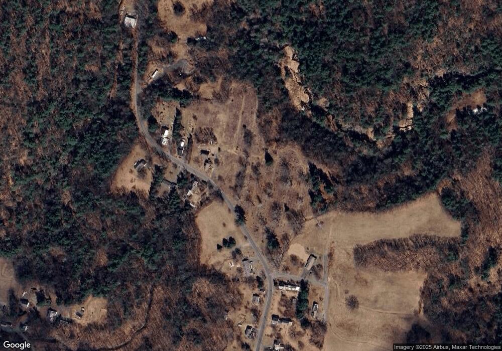
Map
Nearby Homes
- 527 Main St
- 40 Suburban Dr
- 240 Beldingville Rd
- 0 N Bear River Rd Unit 73485981
- 220 Hawley Rd
- 0 Sears Rd Unit 73373850
- 0 Upper St
- 7 Hog Hollow Rd
- 2930 Shelburne Falls Rd
- 333 Ranney Corner Rd
- 311 Cummington Rd
- 54 E Main St
- 13 Bray Rd
- 10 Gardner Falls Rd
- 146 Berkshire Trail W
- 10 Deerfield Ave Unit 2
- 30 Main St
- 278 E Main St
- 296 E Main St
- 0, Lot 7 East Rd
- 174 Baptist Corner Rd
- 153 Baptist Corner Rd
- 182 Baptist Corner Rd
- 171 Baptist Corner Rd
- 189 Baptist Corner Rd
- 110 Baptist Corner Rd
- 108 Baptist Corner Rd
- 103 Baptist Corner Rd
- 19 Whitney Acres
- 50 Whitney Acres
- 81 Baptist Corner Rd
- 82 Baptist Corner Rd
- 68 Baptist Corner Rd
- 62 Baptist Corner Rd
- 57 Baptist Corner Rd
- 50 Baptist Corner Rd
- 37 Baptist Corner Rd
- 29 Baptist Corner Rd
- 46 Buckland Rd Unit G
- 46 Buckland Rd Unit F
Your Personal Tour Guide
Ask me questions while you tour the home.