154 Bryans Rd Hampton, NJ 08827
Estimated Value: $614,000 - $699,000
Studio
--
Bath
2,272
Sq Ft
$286/Sq Ft
Est. Value
About This Home
This home is located at 154 Bryans Rd, Hampton, NJ 08827 and is currently estimated at $649,958, approximately $286 per square foot. 154 Bryans Rd is a home located in Warren County with nearby schools including Brass Castle School, Port Colden Elementary School, and Warren Hills Regional Middle School.
Ownership History
Date
Name
Owned For
Owner Type
Purchase Details
Closed on
Oct 20, 2005
Sold by
Beasty Joseph T and Beasty Jeanette T
Bought by
Rowland Paul R
Current Estimated Value
Home Financials for this Owner
Home Financials are based on the most recent Mortgage that was taken out on this home.
Original Mortgage
$359,650
Outstanding Balance
$192,865
Interest Rate
5.79%
Mortgage Type
Fannie Mae Freddie Mac
Estimated Equity
$457,093
Create a Home Valuation Report for This Property
The Home Valuation Report is an in-depth analysis detailing your home's value as well as a comparison with similar homes in the area
Home Values in the Area
Average Home Value in this Area
Purchase History
| Date | Buyer | Sale Price | Title Company |
|---|---|---|---|
| Rowland Paul R | $495,000 | -- |
Source: Public Records
Mortgage History
| Date | Status | Borrower | Loan Amount |
|---|---|---|---|
| Open | Rowland Paul R | $359,650 |
Source: Public Records
Tax History
| Year | Tax Paid | Tax Assessment Tax Assessment Total Assessment is a certain percentage of the fair market value that is determined by local assessors to be the total taxable value of land and additions on the property. | Land | Improvement |
|---|---|---|---|---|
| 2025 | $15,728 | $383,600 | $89,100 | $294,500 |
| 2024 | $15,474 | $383,600 | $89,100 | $294,500 |
Source: Public Records
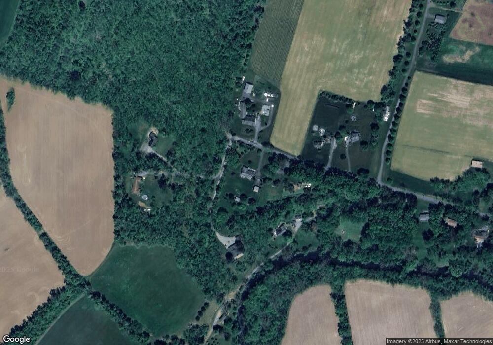
Map
Nearby Homes
- 192 Bryans Rd
- 20 Riddle Ct
- 49 Valley Rd
- 218 State Route 31
- 16 Steeplechase Ln
- 182 State Route 31
- 118 Junction Rd
- 36 Lower Skillman St
- 1 Wojcicki Dr
- 105 Junction Rd
- 17 Lackawanna St
- 215 Asbury Anderson Rd
- 55 Limestone Blvd
- 42 Main St
- 3 Limestone Blvd
- 2 Dutch Hill Rd
- 40 Merlin Dr
- 18 Sparrowhawk St
- 1 Dove Hollow Ln
- 70 Mackenzie Rd
- 158 Bryans Rd
- 170 Bryans Rd
- 146 Bryans Rd
- 43 Bryans Rd
- 140 Bryans Rd
- 142 Bryans Rd
- 163 Bryans Rd
- 176 Bryans Rd
- 178 Bryans Rd
- 182 Bryans Rd
- 81 W Asbury Anderson Rd
- 184 Bryans Rd
- 188 Bryans Rd
- 193 Bryans Rd
- 194 Bryans Rd
- 201 Bryans Rd
- 197 Bryans Rd
- 198 Bryans Rd
- 19 Riverview Dr
- 75 W Asbury Anderson Rd
Your Personal Tour Guide
Ask me questions while you tour the home.