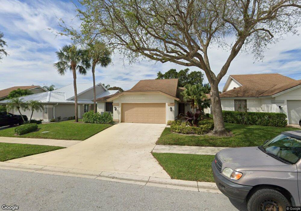
154 Cape Pointe Cir Jupiter, FL 33477
The Bluffs NeighborhoodEstimated Value: $973,539 - $1,207,000
3
Beds
2
Baths
1,850
Sq Ft
$598/Sq Ft
Est. Value
About This Home
This home is located at 154 Cape Pointe Cir, Jupiter, FL 33477 and is currently estimated at $1,105,385, approximately $597 per square foot. 154 Cape Pointe Cir is a home located in Palm Beach County with nearby schools including William T. Dwyer High School, Lighthouse Elementary School, and Beacon Cove Intermediate School.
Ownership History
Date
Name
Owned For
Owner Type
Purchase Details
Closed on
Jun 16, 2006
Sold by
Graf Heidi
Bought by
Pollak William and Pollak Joanne
Current Estimated Value
Purchase Details
Closed on
Mar 10, 2003
Sold by
Horan Burleigh L and Horan Betty Lou
Bought by
Graf Heidi
Home Financials for this Owner
Home Financials are based on the most recent Mortgage that was taken out on this home.
Original Mortgage
$265,500
Interest Rate
4.75%
Purchase Details
Closed on
Nov 26, 1993
Sold by
Horan Burleigh and Horan Betty Lou
Bought by
Burleigh Horan Jr Rev Living Tr
Create a Home Valuation Report for This Property
The Home Valuation Report is an in-depth analysis detailing your home's value as well as a comparison with similar homes in the area
Home Values in the Area
Average Home Value in this Area
Purchase History
| Date | Buyer | Sale Price | Title Company |
|---|---|---|---|
| Pollak William | $380,000 | The Title Network Inc | |
| Graf Heidi | $295,000 | -- | |
| Burleigh Horan Jr Rev Living Tr | -- | -- |
Source: Public Records
Mortgage History
| Date | Status | Borrower | Loan Amount |
|---|---|---|---|
| Previous Owner | Graf Heidi | $265,500 |
Source: Public Records
Tax History
| Year | Tax Paid | Tax Assessment Tax Assessment Total Assessment is a certain percentage of the fair market value that is determined by local assessors to be the total taxable value of land and additions on the property. | Land | Improvement |
|---|---|---|---|---|
| 2025 | $12,124 | $706,083 | -- | -- |
| 2024 | $12,124 | $641,894 | -- | -- |
| 2023 | $11,567 | $583,540 | $0 | $0 |
| 2022 | $10,302 | $530,491 | $0 | $0 |
| 2021 | $9,054 | $481,785 | $264,000 | $217,785 |
| 2020 | $8,745 | $457,877 | $169,950 | $287,927 |
| 2019 | $8,520 | $440,000 | $0 | $440,000 |
| 2018 | $8,192 | $435,000 | $0 | $435,000 |
| 2017 | $7,989 | $424,000 | $0 | $0 |
| 2016 | $7,464 | $372,680 | $0 | $0 |
| 2015 | $6,947 | $338,800 | $0 | $0 |
| 2014 | $6,531 | $308,000 | $0 | $0 |
Source: Public Records
Map
Nearby Homes
- 238 River Park Dr
- 126 Cape Pointe Cir
- 125 Cape Pointe Cir
- 181 Cape Pointe Cir
- 246 Ridge Rd
- 101 Cape Pointe Cir
- 3071 30th Ct
- 316 River Edge Rd
- 228 Ridge Rd
- 3038 30th Ct
- 125 Seashore Dr
- 438 River Edge Rd
- 119 Beach Summit Ct
- 216 Ridge Rd
- 121 Landward Dr
- 150 Beach Summit Ct
- 329 Leeward Dr
- 125 Sand Pine Dr
- 352 River Edge Rd
- 2929 Marys Way
- 152 Cape Pointe Cir
- 156 Cape Pointe Cir
- 150 Cape Pointe Cir
- 158 Cape Pointe Cir
- 257 E River Park Dr
- 255 River Park Dr
- 255 E River Park Dr
- 148 Cape Pointe Cir
- 259 E River Park Dr
- 253 River Park Dr
- 253 E River Park Dr
- 259 River Park Dr
- 251 E River Park Dr
- 146 Cape Pointe Cir
- 162 Cape Pointe Cir
- 149 Cape Pointe Cir
- 178 Cape Pointe Cir
- 249 River Park Dr
- 249 E River Park Dr
- 182 Cape Pointe Cir
Your Personal Tour Guide
Ask me questions while you tour the home.