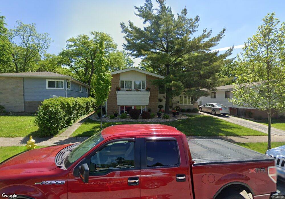
154 Chestnut St Park Forest, IL 60466
Estimated Value: $182,901 - $222,000
4
Beds
4
Baths
1,451
Sq Ft
$144/Sq Ft
Est. Value
About This Home
This home is located at 154 Chestnut St, Park Forest, IL 60466 and is currently estimated at $208,725, approximately $143 per square foot. 154 Chestnut St is a home located in Cook County with nearby schools including Steger Primary Center, Columbia Central School, and Steger Intermediate Center.
Ownership History
Date
Name
Owned For
Owner Type
Purchase Details
Closed on
Jul 31, 2002
Sold by
Dyer Debra
Bought by
Williams A D
Current Estimated Value
Home Financials for this Owner
Home Financials are based on the most recent Mortgage that was taken out on this home.
Original Mortgage
$128,089
Outstanding Balance
$54,549
Interest Rate
6.64%
Mortgage Type
FHA
Estimated Equity
$154,176
Create a Home Valuation Report for This Property
The Home Valuation Report is an in-depth analysis detailing your home's value as well as a comparison with similar homes in the area
Home Values in the Area
Average Home Value in this Area
Purchase History
| Date | Buyer | Sale Price | Title Company |
|---|---|---|---|
| Williams A D | $130,000 | Chicago Title Insurance Co | |
| Dyer Debra | -- | Chicago Title Insurance Co |
Source: Public Records
Mortgage History
| Date | Status | Borrower | Loan Amount |
|---|---|---|---|
| Open | Williams A D | $128,089 |
Source: Public Records
Tax History
| Year | Tax Paid | Tax Assessment Tax Assessment Total Assessment is a certain percentage of the fair market value that is determined by local assessors to be the total taxable value of land and additions on the property. | Land | Improvement |
|---|---|---|---|---|
| 2025 | $7,525 | $18,000 | $2,880 | $15,120 |
| 2024 | $7,525 | $18,000 | $2,880 | $15,120 |
| 2023 | $3,466 | $18,000 | $2,880 | $15,120 |
| 2022 | $3,466 | $10,276 | $2,520 | $7,756 |
| 2021 | $3,575 | $10,275 | $2,520 | $7,755 |
| 2020 | $6,511 | $10,275 | $2,520 | $7,755 |
| 2019 | $7,148 | $11,873 | $2,340 | $9,533 |
| 2018 | $6,850 | $11,873 | $2,340 | $9,533 |
| 2017 | $6,783 | $11,873 | $2,340 | $9,533 |
| 2016 | $7,023 | $11,637 | $2,160 | $9,477 |
| 2015 | $6,723 | $11,637 | $2,160 | $9,477 |
| 2014 | $5,237 | $11,637 | $2,160 | $9,477 |
| 2013 | $5,848 | $11,629 | $2,160 | $9,469 |
Source: Public Records
Map
Nearby Homes
- 152 Chestnut St
- 156 Chestnut St
- 150 Chestnut St
- 158 Chestnut St
- 148 Chestnut St
- 146 Chestnut St
- 28 Michael Rd Unit 791
- 30 Michael Rd Unit 792
- 32 Michael Rd Unit 801
- 33 Michael Rd Unit 802
- 33 Michael Rd
- 144 Chestnut St
- 31 Michael Rd Unit 812
- 29 Michael Rd Unit 811
- 26 Michael Rd Unit 782
- 24 Michael Rd Unit 781
- 27 Michael Rd Unit 822
- 25 Michael Rd Unit 821
- 142 Chestnut St
- 22 Michael Rd Unit 774
Your Personal Tour Guide
Ask me questions while you tour the home.