154 Colin Rd Williamstown, NJ 08094
Estimated Value: $231,338 - $303,000
--
Bed
--
Bath
1,200
Sq Ft
$225/Sq Ft
Est. Value
About This Home
This home is located at 154 Colin Rd, Williamstown, NJ 08094 and is currently estimated at $270,585, approximately $225 per square foot. 154 Colin Rd is a home located in Atlantic County with nearby schools including Buena Regional Middle School and Buena Regional High School.
Ownership History
Date
Name
Owned For
Owner Type
Purchase Details
Closed on
Jun 28, 2023
Sold by
Le Stewart Addie M and Stewart Davis Paula
Bought by
Davis Quian L and Davis Rahshana K
Current Estimated Value
Home Financials for this Owner
Home Financials are based on the most recent Mortgage that was taken out on this home.
Original Mortgage
$315,004
Outstanding Balance
$307,178
Interest Rate
6.57%
Mortgage Type
FHA
Estimated Equity
-$36,593
Purchase Details
Closed on
May 1, 2008
Sold by
Stewart Addie M and Stewart Addie Mae
Bought by
Davis Paula Stewart and Stewart Sheila
Create a Home Valuation Report for This Property
The Home Valuation Report is an in-depth analysis detailing your home's value as well as a comparison with similar homes in the area
Home Values in the Area
Average Home Value in this Area
Purchase History
| Date | Buyer | Sale Price | Title Company |
|---|---|---|---|
| Davis Quian L | $60,000 | None Listed On Document | |
| Davis Paula Stewart | -- | None Available |
Source: Public Records
Mortgage History
| Date | Status | Borrower | Loan Amount |
|---|---|---|---|
| Open | Davis Quian L | $315,004 |
Source: Public Records
Tax History Compared to Growth
Tax History
| Year | Tax Paid | Tax Assessment Tax Assessment Total Assessment is a certain percentage of the fair market value that is determined by local assessors to be the total taxable value of land and additions on the property. | Land | Improvement |
|---|---|---|---|---|
| 2025 | $5,046 | $244,100 | $66,400 | $177,700 |
| 2024 | $5,046 | $164,900 | $66,400 | $98,500 |
| 2023 | $4,868 | $164,900 | $66,400 | $98,500 |
| 2022 | $4,868 | $164,900 | $66,400 | $98,500 |
| 2021 | $4,764 | $164,900 | $66,400 | $98,500 |
| 2020 | $4,364 | $164,900 | $66,400 | $98,500 |
| 2019 | $4,100 | $164,900 | $66,400 | $98,500 |
| 2018 | $4,060 | $164,900 | $66,400 | $98,500 |
| 2017 | $4,023 | $164,900 | $66,400 | $98,500 |
| 2016 | $3,879 | $164,900 | $66,400 | $98,500 |
| 2015 | $3,800 | $164,900 | $66,400 | $98,500 |
| 2014 | $3,779 | $164,900 | $66,400 | $98,500 |
Source: Public Records
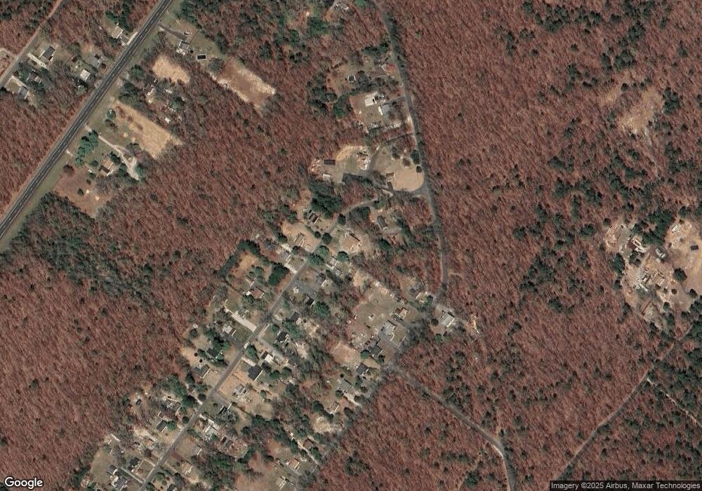
Map
Nearby Homes
- 0 Perry St
- 0 11th St Unit NJAC2020504
- 244 Jackson Rd
- 0 Cleveland Unit NJAC2021248
- 515 6th Rd
- 0 Van Buren Rd
- 1021 Route 54
- 747 Cains Mill Rd
- 0 9th St Unit 600946
- 716 6th Rd
- 00 11th St
- 653 Weymouth Rd
- 451 9th St
- Lot 38 Elsen Ave
- 0 Sorrento Ave Unit 600415
- Crespi Crespi Ave
- 411 Woodlawn Ave
- 0 Walnut Ln
- 113 E Colton Ln
- 403 Wiltshire Terrace