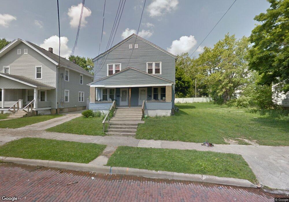
154 Columbia Ave Mansfield, OH 44903
Estimated Value: $75,535 - $183,000
6
Beds
2
Baths
2,560
Sq Ft
$49/Sq Ft
Est. Value
About This Home
This home is located at 154 Columbia Ave, Mansfield, OH 44903 and is currently estimated at $125,884, approximately $49 per square foot. 154 Columbia Ave is a home located in Richland County with nearby schools including St. Peter's Elementary/Montessori School, Discovery School, and St. Peter's Junior High / High School.
Ownership History
Date
Name
Owned For
Owner Type
Purchase Details
Closed on
Dec 13, 2005
Sold by
Hadamuscin Homes Llc
Bought by
Clingan Theresa A
Current Estimated Value
Home Financials for this Owner
Home Financials are based on the most recent Mortgage that was taken out on this home.
Original Mortgage
$72,800
Outstanding Balance
$39,751
Interest Rate
6.48%
Mortgage Type
Fannie Mae Freddie Mac
Estimated Equity
$86,133
Purchase Details
Closed on
Mar 18, 2005
Sold by
Mclaughlin Paul E
Bought by
Hadamuscin Homes Ltd
Purchase Details
Closed on
Mar 1, 1985
Create a Home Valuation Report for This Property
The Home Valuation Report is an in-depth analysis detailing your home's value as well as a comparison with similar homes in the area
Home Values in the Area
Average Home Value in this Area
Purchase History
| Date | Buyer | Sale Price | Title Company |
|---|---|---|---|
| Clingan Theresa A | $91,000 | Ltic | |
| Hadamuscin Homes Ltd | $24,000 | -- | |
| -- | $20,000 | -- |
Source: Public Records
Mortgage History
| Date | Status | Borrower | Loan Amount |
|---|---|---|---|
| Open | Clingan Theresa A | $72,800 |
Source: Public Records
Tax History
| Year | Tax Paid | Tax Assessment Tax Assessment Total Assessment is a certain percentage of the fair market value that is determined by local assessors to be the total taxable value of land and additions on the property. | Land | Improvement |
|---|---|---|---|---|
| 2025 | $593 | $12,390 | $3,100 | $9,290 |
| 2024 | $593 | $12,390 | $3,100 | $9,290 |
| 2023 | $593 | $12,390 | $3,100 | $9,290 |
| 2022 | $499 | $8,740 | $2,540 | $6,200 |
| 2021 | $503 | $8,740 | $2,540 | $6,200 |
| 2020 | $514 | $8,740 | $2,540 | $6,200 |
| 2019 | $570 | $8,740 | $2,540 | $6,200 |
| 2018 | $562 | $8,740 | $2,540 | $6,200 |
| 2017 | $825 | $13,590 | $2,540 | $11,050 |
| 2016 | $799 | $12,380 | $2,840 | $9,540 |
| 2015 | $799 | $12,380 | $2,840 | $9,540 |
| 2014 | $366 | $12,380 | $2,840 | $9,540 |
| 2012 | $304 | $13,030 | $2,990 | $10,040 |
Source: Public Records
Map
Nearby Homes
- 120 Distl Ave
- 135 Wood St
- 183 Carpenter Rd
- 212 S Main St
- 74 & 78 Lexington Ave
- 286 S Main St
- 157 Marion Ave
- 51 Lind Ave
- 219 Lexington Ave
- 245 W 4th St
- 273 Hammond Ave
- 0 Cline Ave Hedeen Abbeyfeale Unit 9066362
- 27 Dunbilt Ct
- 30 Douglas Ave
- 167 S Adams St
- 394 S Main St
- 219 W 5th St
- 146 E 1st St
- 38 Penn Ave
- 223 Hedges St
- 144 Columbia Ave
- 164 Columbia Ave Unit 166
- 151 Arthur Ave
- 147 Arthur Ave
- 153 Arthur Ave
- 161 Arthur Ave
- 157 Arthur Ave
- 138 Columbia Ave
- 143 Arthur Ave
- 161 Spruce St
- 163 Columbia Ave
- 153 Columbia Ave
- 165 Arthur Ave
- 136 Columbia Ave
- 149 Columbia Ave
- 158 Arthur Ave Unit 158 Arthur Ave
- 158 Arthur Ave Unit 158 Arthur
- 137 Arthur Ave
- 137 Arthur Ave Unit 139
- 143 Columbia Ave
Your Personal Tour Guide
Ask me questions while you tour the home.