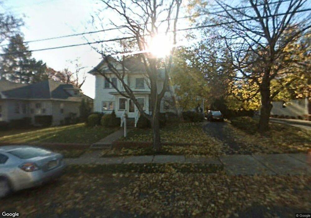
154 Division Ave Hasbrouck Heights, NJ 07604
Estimated Value: $946,000 - $1,087,000
6
Beds
5
Baths
4,046
Sq Ft
$248/Sq Ft
Est. Value
About This Home
This home is located at 154 Division Ave, Hasbrouck Heights, NJ 07604 and is currently estimated at $1,002,493, approximately $247 per square foot. 154 Division Ave is a home located in Bergen County with nearby schools including Hasbrouck Heights High School and Corpus Christi School.
Ownership History
Date
Name
Owned For
Owner Type
Purchase Details
Closed on
May 28, 2024
Sold by
Chok Hook
Bought by
Henry Chok Revocable Trust and Chok
Current Estimated Value
Purchase Details
Closed on
Nov 11, 2020
Sold by
Walsh Anthony and Walsh Carol
Bought by
Chok Hook
Home Financials for this Owner
Home Financials are based on the most recent Mortgage that was taken out on this home.
Original Mortgage
$504,000
Interest Rate
2.71%
Mortgage Type
New Conventional
Create a Home Valuation Report for This Property
The Home Valuation Report is an in-depth analysis detailing your home's value as well as a comparison with similar homes in the area
Home Values in the Area
Average Home Value in this Area
Purchase History
| Date | Buyer | Sale Price | Title Company |
|---|---|---|---|
| Henry Chok Revocable Trust | $459,440 | None Listed On Document | |
| Henry Chok Revocable Trust | $459,440 | None Listed On Document | |
| Chok Hook | $630,000 | Riverview Title Agency Llc |
Source: Public Records
Mortgage History
| Date | Status | Borrower | Loan Amount |
|---|---|---|---|
| Previous Owner | Chok Hook | $504,000 |
Source: Public Records
Tax History Compared to Growth
Tax History
| Year | Tax Paid | Tax Assessment Tax Assessment Total Assessment is a certain percentage of the fair market value that is determined by local assessors to be the total taxable value of land and additions on the property. | Land | Improvement |
|---|---|---|---|---|
| 2025 | $17,190 | $672,800 | $246,900 | $425,900 |
| 2024 | $16,653 | $672,800 | $246,900 | $425,900 |
| 2023 | $16,349 | $646,200 | $236,900 | $409,300 |
| 2022 | $16,349 | $607,300 | $219,400 | $387,900 |
| 2021 | $15,857 | $561,500 | $206,900 | $354,600 |
| 2020 | $15,450 | $537,200 | $199,400 | $337,800 |
| 2019 | $15,016 | $527,800 | $196,900 | $330,900 |
| 2018 | $14,785 | $518,400 | $194,400 | $324,000 |
| 2017 | $14,534 | $508,900 | $191,900 | $317,000 |
| 2016 | $14,826 | $488,500 | $181,900 | $306,600 |
| 2015 | $14,587 | $488,500 | $181,900 | $306,600 |
| 2014 | $14,186 | $488,500 | $181,900 | $306,600 |
Source: Public Records
Map
Nearby Homes
- 208 Jefferson Ave
- 38 Springfield Ave
- 2 Passaic Ave
- 35 Franklin Ave
- 30 Woodside Ave
- 74 Kipp Ave
- 14 Jefferson Ave Unit 16
- 243 Cleveland Ave
- 110 Harrison Ave
- 25 Roosevelt Dr
- 27 Roosevelt Dr
- 8800 Boulevard Unit 5F
- 8800 Boulevard Unit 7K
- 8800 Boulevard Unit 4B
- 417 Franklin Ave
- 43 Wesmont Dr Unit 1712
- 129 Eisenhower Ln Unit 2109
- 311 Harrison Ave
- 73 Wesmont Dr Unit 1811
- 95 Mckinley Ave
- 158 Division Ave
- 148 Division Ave
- 162 Division Ave
- 155 Raymond St
- 151 Raymond St
- 140 Division Ave
- 159 Raymond St
- 147 Raymond St
- 163 Raymond St
- 153 Division Ave
- 151 Division Ave
- 141 Raymond St
- 138 Division Ave
- 157 Division Ave
- 147 Division Ave
- 143 Division Ave
- 137 Raymond St
- 134 Division Ave
- 167 Boulevard
- 167 Boulevard Unit 2