154 Farm View Ln Oakland, MD 21550
Estimated Value: $202,000 - $577,000
--
Bed
--
Bath
1,232
Sq Ft
$274/Sq Ft
Est. Value
About This Home
This home is located at 154 Farm View Ln, Oakland, MD 21550 and is currently estimated at $337,641, approximately $274 per square foot. 154 Farm View Ln is a home located in Garrett County with nearby schools including Broad Ford Elementary School, Southern Middle School, and Southern Garrett High School.
Ownership History
Date
Name
Owned For
Owner Type
Purchase Details
Closed on
Sep 24, 2018
Sold by
Hunley Beverly
Bought by
Hunley Beverly and Barr Candice
Current Estimated Value
Purchase Details
Closed on
Mar 26, 2007
Sold by
Bell Jonathan
Bought by
Hunley Alan D and Hunley Beverly
Purchase Details
Closed on
Mar 24, 2007
Sold by
Bell Jonathan
Bought by
Hunley Alan D and Hunley Beverly
Purchase Details
Closed on
Jan 7, 2002
Sold by
Rash Ivan P and Rash Nancy
Bought by
Stewart James A and Stewart Angela K
Create a Home Valuation Report for This Property
The Home Valuation Report is an in-depth analysis detailing your home's value as well as a comparison with similar homes in the area
Home Values in the Area
Average Home Value in this Area
Purchase History
| Date | Buyer | Sale Price | Title Company |
|---|---|---|---|
| Hunley Beverly | -- | None Available | |
| Hunley Alan D | $43,000 | -- | |
| Hunley Alan D | $43,000 | -- | |
| Stewart James A | $10,000 | -- |
Source: Public Records
Mortgage History
| Date | Status | Borrower | Loan Amount |
|---|---|---|---|
| Closed | Stewart James A | -- |
Source: Public Records
Tax History Compared to Growth
Tax History
| Year | Tax Paid | Tax Assessment Tax Assessment Total Assessment is a certain percentage of the fair market value that is determined by local assessors to be the total taxable value of land and additions on the property. | Land | Improvement |
|---|---|---|---|---|
| 2025 | $1,676 | $145,367 | $0 | $0 |
| 2024 | $1,564 | $131,333 | $0 | $0 |
| 2023 | $1,400 | $117,300 | $25,400 | $91,900 |
| 2022 | $1,377 | $115,333 | $0 | $0 |
| 2021 | $1,354 | $113,367 | $0 | $0 |
| 2020 | $1,301 | $111,400 | $28,400 | $83,000 |
| 2019 | $1,318 | $110,267 | $0 | $0 |
| 2018 | $1,233 | $109,133 | $0 | $0 |
| 2017 | $1,180 | $108,000 | $0 | $0 |
| 2016 | -- | $104,800 | $0 | $0 |
| 2015 | -- | $101,600 | $0 | $0 |
| 2014 | -- | $98,400 | $0 | $0 |
Source: Public Records
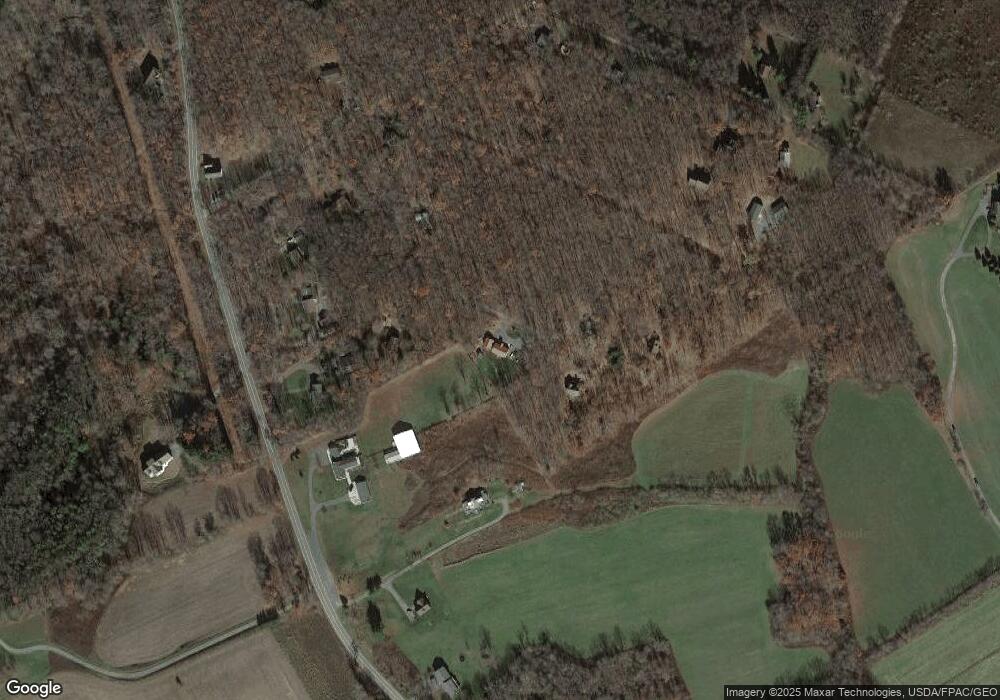
Map
Nearby Homes
- 0 Longview Ln
- 1240 Boy Scout Rd
- 77 Meadow Ct
- 41 Boyd Paugh Ln
- 0 Paradise Point Rd Unit MDGA2003916
- 94 Meadow Ct
- 66 Paradise Ridge Rd
- 0 Meadow Ct Unit MDGA2010558
- 180 Paradise Ridge Rd
- 197 Black Angus Dr
- 62 Middleton Rd
- 1567 Pergin Farm Rd
- 590 S Blakeslee Rd
- Lot G Randall Way
- Lot 14 Warnick Way
- 19 Pheasant Run
- LOT 25 Holy Cross Dr
- 1674 Paradise Point Rd
- 4 Laurel Brook Dr
- 3930 Mayhew Inn Rd
- 219 Farm View Ln
- 204 Farm View Ln
- 3160 Sand Flat Rd
- 237 Farm View Ln
- 3036 Sand Flat Rd
- 83 Farm View Ln
- 2 New Harmony Rd
- Lot 4 New Harmony Rd
- LOTS 3 & 4 New Harmony Rd
- 3146 Sand Flat Rd
- 3104 Sand Flat Rd
- 3200 Sand Flat Rd
- 3228 Sand Flat Rd
- 58 Longview Ln
- 256 New Harmony Rd
- 96 Longview Ln
- 179 New Harmony Rd
- 13 New Harmony Rd
- 3 New Harmony Rd
- 4 New Harmony Rd